Property Record
19787 Panther Island Blvd, Estero, FL 33928
NEARBY LISTINGS FOR SALE OR LEASE
Property Detail
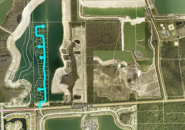
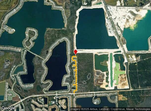
19787 Panther Island Blvd
Cape Coral-Fort Myers, FL
Corkscrew Ranch
21-46-26-02-0000A.00CE
CORKSCREW RANCH DESC IN INST#2007000298830 TRACT A
Commercialacreage
Lee
X
Florida
12021C0100H
6.97 AC
0
Estero
2025
Southwest Florida
040138
DEMOGRAPHICS near 19787 Panther Island Blvd
1 Mile
3 Mile
5 Mile
2024 Total Population
1,363
9,920
38,946
2029 Population
1,655
11,905
46,906
Pop Growth 2024-2029
+ 21.42%
+ 20.01%
+ 20.44%
Average Age
42
47
44
2024 Total Households
583
4,017
15,871
HH Growth 2024-2029
+ 21.10%
+ 19.77%
+ 20.28%
Median Household Inc
$104,058
$123,798
$94,373
Avg Household Size
2.30
2.40
2.30
2024 Avg HH Vehicles
2.00
2.00
2.00
Median Home Value
$290,200
$431,874
$384,147
Median Year Built
2006
2007
2006
Nearby Places
Map Layers
Map Styles
 Street
 Aerial
- Restaurants
- Banks
- Shops
- Fitness
- Groceries
PUBLIC TRANSPORTATION
AIRPORT
Southwest Florida International
DRIVE
WALK
Distance
Southwest Florida International
26 min
15.8 mi
Freight Ports
Port Manatee
DRIVE
WALK
Distance
Port Manatee
134 min
115.5 mi
Nearby Properties
Address
Land Use
TOTAL SIZE
Lot Size
Zoning
Address
Land Use
TOTAL SIZE
Lot Size
Zoning
420,851 SF
23.83 AC
MPD
Address
Land Use
TOTAL SIZE
Lot Size
Zoning
14,515 SF
468.10 AC
AG-2
Address
Land Use
TOTAL SIZE
Lot Size
Zoning
174,712 SF
9.70 AC
MPD
Address
Land Use
TOTAL SIZE
Lot Size
Zoning
32,335 SF
6.51 AC
MPD
Address
Land Use
TOTAL SIZE
Lot Size
Zoning
119,757 SF
37.66 AC
PUD
Address
Land Use
TOTAL SIZE
Lot Size
Zoning
67,261 SF
814.02 AC
AG-2
Address
Land Use
TOTAL SIZE
Lot Size
Zoning
195.10 AC
MPD
Address
Land Use
TOTAL SIZE
Lot Size
Zoning
2.39 AC
MPD
Address
Land Use
TOTAL SIZE
Lot Size
Zoning
1.29 AC
AG-2
Address
Land Use
TOTAL SIZE
Lot Size
Zoning
1,440 SF
499.27 AC
IPD
Address
Land Use
TOTAL SIZE
Lot Size
Zoning
53,212 SF
2.99 AC
MPD
Address
Land Use
TOTAL SIZE
Lot Size
Zoning
9.11 AC
MPD
Address
Land Use
TOTAL SIZE
Lot Size
Zoning
38,916 SF
401.70 AC
AG-2
Address
Land Use
TOTAL SIZE
Lot Size
Zoning
3,030 SF
579.95 AC
AG-2
Address
Land Use
TOTAL SIZE
Lot Size
Zoning
12,800 SF
5.01 AC
PUD
Address
Land Use
TOTAL SIZE
Lot Size
Zoning
2.21 AC
MPD
Address
Land Use
TOTAL SIZE
Lot Size
Zoning
5.04 AC
Address
Land Use
TOTAL SIZE
Lot Size
Zoning
632 AC
AG-2
Address
Land Use
TOTAL SIZE
Lot Size
Zoning
632.23 AC
AG-2
Address
Land Use
TOTAL SIZE
Lot Size
Zoning
10,166 SF
368.43 AC
AG-2
Address
Land Use
TOTAL SIZE
Lot Size
Zoning
555.20 AC
AG-2
Address
Land Use
TOTAL SIZE
Lot Size
Zoning
124.82 AC
IPD
Address
Land Use
TOTAL SIZE
Lot Size
Zoning
Address
Land Use
TOTAL SIZE
Lot Size
Zoning
1,104 SF
167.04 AC
IPD
Address
Land Use
TOTAL SIZE
Lot Size
Zoning
169.24 AC
IPD
Address
Land Use
TOTAL SIZE
Lot Size
Zoning
21,800 SF
159.39 AC
IPD
Address
Land Use
TOTAL SIZE
Lot Size
Zoning
10,416 SF
2.68 AC
MPD
Address
Land Use
TOTAL SIZE
Lot Size
Zoning
121.33 AC
IPD
Address
Land Use
TOTAL SIZE
Lot Size
Zoning
19,920 SF
3.22 AC
MPD
Address
Land Use
TOTAL SIZE
Lot Size
Zoning
3.86 AC
MPD
The World's #1 Commercial Real Estate Marketplace
Connect with us
© 2025 CoStar Group
The information above has been obtained from sources believed reliable. While we do not doubt its accuracy we have not verified it and make no guarantee, warranty or representation about it. It is your responsibility to independently confirm its accuracy and completeness. Any projections, opinions, assumptions, or estimates used are for example only and do not represent the current or future performance of the property. The value of this transaction to you depends on tax and other factors which should be evaluated by your tax, financial, and legal advisors. You and your advisors should conduct a careful, independent investigation of the property to determine to your satisfaction the suitability of the property for your needs.