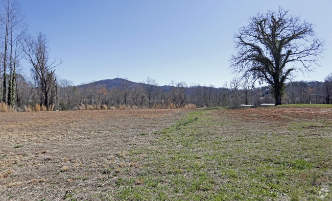
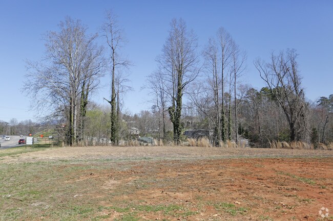
Property Record
1979 Sugar Hill Rd, Marion, NC 28752

NEARBY LISTINGS FOR SALE OR LEASE
-
-
View all Marion listings for sale on LoopNet.com
Property Detail
1979 Sugar Hill Rd
1700-05-18-9132
2.672 AC
Commercialnec
Mcdowell
X
North Carolina
3710170000J
4.48 AC
2025
North Carolina West/Cherokee Area
2025
Other Market Areas
970500
Marion, NC
2,029 SF
DEMOGRAPHICS near 1979 Sugar Hill Rd
1 Mile
3 Mile
5 Mile
2024 Total Population
2,623
13,232
22,978
2029 Population
2,681
13,592
23,475
Pop Growth 2024-2029
+ 2.21%
+ 2.72%
+ 2.16%
Average Age
42
42
42
2024 Total Households
1,133
5,467
9,358
HH Growth 2024-2029
+ 2.29%
+ 2.76%
+ 2.23%
Median Household Inc
$44,068
$49,754
$51,492
Avg Household Size
2.20
2.30
2.30
2024 Avg HH Vehicles
2.00
2.00
2.00
Median Home Value
$150,000
$144,980
$152,435
Median Year Built
1987
1983
1984
Nearby Places
Map Layers
Map Styles
 Street
 Aerial
- Restaurants
- Banks
- Shops
- Fitness
- Groceries
SALE & LEASE HISTORY
LISTING DATE
SALE/LEASE

Sep 24, 2016
For Sale
Feb 28, 2018
For Sale
Nearby Properties
Address
Land Use
TOTAL SIZE
Lot Size
Zoning
Address
Land Use
TOTAL SIZE
Lot Size
Zoning
80,070 SF
Address
Land Use
TOTAL SIZE
Lot Size
Zoning
71,498 SF
12.67 AC
C-2
Address
Land Use
TOTAL SIZE
Lot Size
Zoning
123,039 SF
29.04 AC
Address
Land Use
TOTAL SIZE
Lot Size
Zoning
154,664 SF
45.06 AC
C-2
Address
Land Use
TOTAL SIZE
Lot Size
Zoning
35,898 SF
Address
Land Use
TOTAL SIZE
Lot Size
Zoning
284,010 SF
42.91 AC
Address
Land Use
TOTAL SIZE
Lot Size
Zoning
32,118 SF
0.63 AC
Address
Land Use
TOTAL SIZE
Lot Size
Zoning
29,363 SF
25.30 AC
Address
Land Use
TOTAL SIZE
Lot Size
Zoning
89,254 SF
74.28 AC
Address
Land Use
TOTAL SIZE
Lot Size
Zoning
42,966 SF
7.62 AC
Address
Land Use
TOTAL SIZE
Lot Size
Zoning
41,525 SF
7.02 AC
C-2
Address
Land Use
TOTAL SIZE
Lot Size
Zoning
42,357 SF
2.50 AC
Address
Land Use
TOTAL SIZE
Lot Size
Zoning
39,795 SF
17.85 AC
Address
Land Use
TOTAL SIZE
Lot Size
Zoning
89,868 SF
31.55 AC
Address
Land Use
TOTAL SIZE
Lot Size
Zoning
134,766 SF
41.26 AC
Address
Land Use
TOTAL SIZE
Lot Size
Zoning
12,506 SF
16.19 AC
Address
Land Use
TOTAL SIZE
Lot Size
Zoning
48,105 SF
5.02 AC
Address
Land Use
TOTAL SIZE
Lot Size
Zoning
8,402 SF
100.02 AC
Address
Land Use
TOTAL SIZE
Lot Size
Zoning
6.59 AC
C-2
Address
Land Use
TOTAL SIZE
Lot Size
Zoning
18,426 SF
20.18 AC
Address
Land Use
TOTAL SIZE
Lot Size
Zoning
28,184 SF
5 AC
Address
Land Use
TOTAL SIZE
Lot Size
Zoning
6,124 SF
3.99 AC
C-2
Address
Land Use
TOTAL SIZE
Lot Size
Zoning
22,206 SF
8.05 AC
Address
Land Use
TOTAL SIZE
Lot Size
Zoning
33,376 SF
8.98 AC
Address
Land Use
TOTAL SIZE
Lot Size
Zoning
3,088 SF
3.29 AC
Address
Land Use
TOTAL SIZE
Lot Size
Zoning
11,644 SF
2.55 AC
Address
Land Use
TOTAL SIZE
Lot Size
Zoning
14,868 SF
8 AC
Address
Land Use
TOTAL SIZE
Lot Size
Zoning
10,660 SF
8.40 AC
Address
Land Use
TOTAL SIZE
Lot Size
Zoning
2,019 SF
8.86 AC
Address
Land Use
TOTAL SIZE
Lot Size
Zoning
10,000 SF
0.59 AC
The World's #1 Commercial Real Estate Marketplace
Connect with us
© 2025 CoStar Group
The information above has been obtained from sources believed reliable. While we do not doubt its accuracy we have not verified it and make no guarantee, warranty or representation about it. It is your responsibility to independently confirm its accuracy and completeness. Any projections, opinions, assumptions, or estimates used are for example only and do not represent the current or future performance of the property. The value of this transaction to you depends on tax and other factors which should be evaluated by your tax, financial, and legal advisors. You and your advisors should conduct a careful, independent investigation of the property to determine to your satisfaction the suitability of the property for your needs.