Property Record
198 N Curtis Ave, Pea Ridge, AR 72751


NEARBY LISTINGS FOR SALE OR LEASE
Property Detail
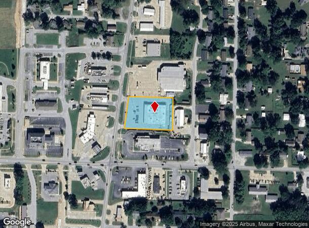
198 N Curtis Ave
13-00361-000
Pea Ridge
Storebuilding
A PART OF THE SOUTHEAST 1/4, SOUTHEAST 1/4, SECTION 36, TOWNSHIP 21 NORTH, RANGE 30 WEST, BENTON COUNTY, ARKANSAS; MORE PARTICULARLY DESCRIBED AS FOLLOWS: FROM THE SOUTHEAST CORNER OF SAID SOUTHEAST 1/4, SOUTHEAST 1/4, SECTION 3, RUN THENCE WEST 717.
X
Benton
29119C0475D
Arkansas
2025
1.33 AC
2025
Outlying Benton County
020103
Fayetteville/Springdale/Rogers
14,820 SF
Fayetteville-Springdale-Rogers, AR-MO
DEMOGRAPHICS near 198 N Curtis Ave
1 Mile
3 Mile
5 Mile
2024 Total Population
4,335
11,479
23,242
2029 Population
5,127
13,663
27,509
Pop Growth 2024-2029
+ 18.27%
+ 19.03%
+ 18.36%
Average Age
37
38
39
2024 Total Households
1,567
4,004
8,212
HH Growth 2024-2029
+ 18.25%
+ 19.03%
+ 18.36%
Median Household Inc
$77,470
$80,467
$84,090
Avg Household Size
2.80
2.80
2.80
2024 Avg HH Vehicles
2.00
2.00
2.00
Median Home Value
$199,368
$227,001
$247,782
Median Year Built
1994
1996
1996
Nearby Places
Map Layers
Map Styles
 Street
 Aerial
- Restaurants
- Banks
- Shops
- Fitness
- Groceries
PUBLIC TRANSPORTATION
AIRPORT
Northwest Arkansas Ntl
DRIVE
WALK
Distance
Northwest Arkansas Ntl
41 min
21.7 mi
SALE & LEASE HISTORY
LISTING DATE
SALE/LEASE

Oct 11, 2019
For Sale
Jul 12, 2019
For Lease
Dec 13, 2019
For Sale
Nearby Properties
Address
Land Use
TOTAL SIZE
Lot Size
Zoning
Address
Land Use
TOTAL SIZE
Lot Size
Zoning
28,501 SF
5.95 AC
Address
Land Use
TOTAL SIZE
Lot Size
Zoning
7,650 SF
5.63 AC
Address
Land Use
TOTAL SIZE
Lot Size
Zoning
41,940 SF
36.20 AC
Address
Land Use
TOTAL SIZE
Lot Size
Zoning
146,778 SF
10.32 AC
Address
Land Use
TOTAL SIZE
Lot Size
Zoning
5,936 SF
1.03 AC
Address
Land Use
TOTAL SIZE
Lot Size
Zoning
6,870 SF
1.66 AC
Address
Land Use
TOTAL SIZE
Lot Size
Zoning
60,356 SF
3.48 AC
Address
Land Use
TOTAL SIZE
Lot Size
Zoning
6,088 SF
1.51 AC
Address
Land Use
TOTAL SIZE
Lot Size
Zoning
22,141 SF
2.21 AC
Address
Land Use
TOTAL SIZE
Lot Size
Zoning
2,027 SF
1.07 AC
Address
Land Use
TOTAL SIZE
Lot Size
Zoning
7,114 SF
1.50 AC
Address
Land Use
TOTAL SIZE
Lot Size
Zoning
20,883 SF
6.35 AC
Address
Land Use
TOTAL SIZE
Lot Size
Zoning
8,598 SF
0.91 AC
Address
Land Use
TOTAL SIZE
Lot Size
Zoning
3,960 SF
1.13 AC
Address
Land Use
TOTAL SIZE
Lot Size
Zoning
13,056 SF
2.41 AC
Address
Land Use
TOTAL SIZE
Lot Size
Zoning
6,811 SF
0.95 AC
Address
Land Use
TOTAL SIZE
Lot Size
Zoning
3,667 SF
1.15 AC
Address
Land Use
TOTAL SIZE
Lot Size
Zoning
2,904 SF
0.86 AC
Address
Land Use
TOTAL SIZE
Lot Size
Zoning
6,400 SF
2.86 AC
Address
Land Use
TOTAL SIZE
Lot Size
Zoning
10,920 SF
0.89 AC
Address
Land Use
TOTAL SIZE
Lot Size
Zoning
7,862 SF
91.40 AC
Address
Land Use
TOTAL SIZE
Lot Size
Zoning
9,666 SF
1.53 AC
Address
Land Use
TOTAL SIZE
Lot Size
Zoning
11,200 SF
1.16 AC
Address
Land Use
TOTAL SIZE
Lot Size
Zoning
7,680 SF
0.95 AC
Address
Land Use
TOTAL SIZE
Lot Size
Zoning
4,300 SF
Address
Land Use
TOTAL SIZE
Lot Size
Zoning
12,208 SF
1.45 AC
Address
Land Use
TOTAL SIZE
Lot Size
Zoning
2,656 SF
0.27 AC
Address
Land Use
TOTAL SIZE
Lot Size
Zoning
2,290 SF
0.95 AC
Address
Land Use
TOTAL SIZE
Lot Size
Zoning
2,167 SF
0.95 AC
The World's #1 Commercial Real Estate Marketplace
Connect with us
© 2026 CoStar Group
The information above has been obtained from sources believed reliable. While we do not doubt its accuracy we have not verified it and make no guarantee, warranty or representation about it. It is your responsibility to independently confirm its accuracy and completeness. Any projections, opinions, assumptions, or estimates used are for example only and do not represent the current or future performance of the property. The value of this transaction to you depends on tax and other factors which should be evaluated by your tax, financial, and legal advisors. You and your advisors should conduct a careful, independent investigation of the property to determine to your satisfaction the suitability of the property for your needs.