Property Record
1980 Blue Oaks Blvd, Roseville, CA 95747

NEARBY LISTINGS FOR SALE OR LEASE
-
-
View all Roseville listings for sale on LoopNet.com
Property Detail
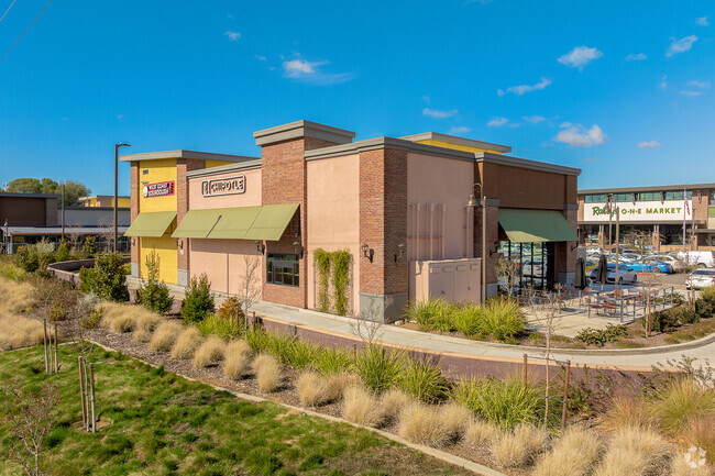
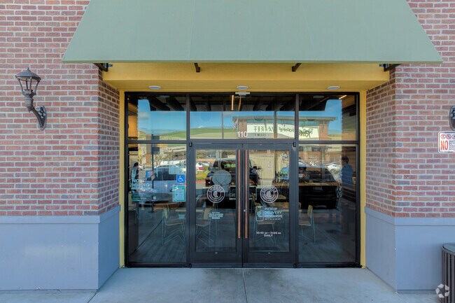
1980 Blue Oaks Blvd
Sacramento-Roseville-Folsom, CA
Plaza At Blue Oaks
401-030-006
PARCEL 6 OF PARCEL MAP BK 36 PG 49 PL17-0368
Regionalshoppingcenterormallwithanchorstore
Placer
2024
California
2025
1.06 AC
021325
Outer Placer County
4,000 SF
Sacramento
DEMOGRAPHICS near 1980 Blue Oaks Blvd
1 Mile
3 Mile
5 Mile
2024 Total Population
14,523
71,664
152,259
2029 Population
16,135
78,260
163,838
Pop Growth 2024-2029
+ 11.10%
+ 9.20%
+ 7.60%
Average Age
42
40
39
2024 Total Households
5,165
25,299
53,092
HH Growth 2024-2029
+ 10.61%
+ 9.18%
+ 7.70%
Median Household Inc
$141,943
$127,635
$114,029
Avg Household Size
2.80
2.80
2.80
2024 Avg HH Vehicles
2.00
2.00
2.00
Median Home Value
$712,571
$689,054
$639,937
Median Year Built
2010
2005
2001
Nearby Places
Map Layers
Map Styles
 Street
 Aerial
- Restaurants
- Banks
- Shops
- Fitness
- Groceries
PUBLIC TRANSPORTATION
COMMUTER RAIL
Roseville (California Zephyr - Amtrak, Capitol Corridor - Amtrak)
DRIVE
WALK
Distance
Roseville (California Zephyr - Amtrak, Capitol Corridor - Amtrak)
13 min
6.9 mi
Rocklin Amtrak Station (Capitol Corridor - Amtrak)
DRIVE
WALK
Distance
Rocklin Amtrak Station (Capitol Corridor - Amtrak)
15 min
9.7 mi
AIRPORT
Sacramento International
DRIVE
WALK
Distance
Sacramento International
33 min
22.8 mi
Freight Ports
Port of Stockton
DRIVE
WALK
Distance
Port of Stockton
83 min
66.9 mi
Nearby Properties
Address
Land Use
TOTAL SIZE
Lot Size
Zoning
Address
Land Use
TOTAL SIZE
Lot Size
Zoning
341,145 SF
12 AC
Address
Land Use
TOTAL SIZE
Lot Size
Zoning
471,741 SF
15.14 AC
Address
Land Use
TOTAL SIZE
Lot Size
Zoning
130,228 SF
11.10 AC
Address
Land Use
TOTAL SIZE
Lot Size
Zoning
144,760 SF
26.70 AC
Address
Land Use
TOTAL SIZE
Lot Size
Zoning
769,698 SF
50.39 AC
Address
Land Use
TOTAL SIZE
Lot Size
Zoning
411,344 SF
41.50 AC
Address
Land Use
TOTAL SIZE
Lot Size
Zoning
244,077 SF
8.70 AC
Address
Land Use
TOTAL SIZE
Lot Size
Zoning
401,175 SF
19.80 AC
Address
Land Use
TOTAL SIZE
Lot Size
Zoning
217,756 SF
8.90 AC
Address
Land Use
TOTAL SIZE
Lot Size
Zoning
718,131 SF
42 AC
Address
Land Use
TOTAL SIZE
Lot Size
Zoning
159,069 SF
6.09 AC
Address
Land Use
TOTAL SIZE
Lot Size
Zoning
310,720 SF
16.90 AC
Address
Land Use
TOTAL SIZE
Lot Size
Zoning
345,370 SF
12.80 AC
Address
Land Use
TOTAL SIZE
Lot Size
Zoning
198,824 SF
29.66 AC
Address
Land Use
TOTAL SIZE
Lot Size
Zoning
200,928 SF
3.65 AC
Address
Land Use
TOTAL SIZE
Lot Size
Zoning
98,137 SF
3.40 AC
Address
Land Use
TOTAL SIZE
Lot Size
Zoning
175,072 SF
19.60 AC
Address
Land Use
TOTAL SIZE
Lot Size
Zoning
166,398 SF
13.80 AC
Address
Land Use
TOTAL SIZE
Lot Size
Zoning
216,000 SF
11.70 AC
Address
Land Use
TOTAL SIZE
Lot Size
Zoning
89,259 SF
3.29 AC
Address
Land Use
TOTAL SIZE
Lot Size
Zoning
159,914 SF
6.70 AC
Address
Land Use
TOTAL SIZE
Lot Size
Zoning
311,441 SF
12 AC
Address
Land Use
TOTAL SIZE
Lot Size
Zoning
97,000 SF
6.10 AC
Address
Land Use
TOTAL SIZE
Lot Size
Zoning
95,321 SF
4.10 AC
Address
Land Use
TOTAL SIZE
Lot Size
Zoning
126,795 SF
11.75 AC
Address
Land Use
TOTAL SIZE
Lot Size
Zoning
213,664 SF
22.10 AC
The World's #1 Commercial Real Estate Marketplace
Connect with us
© 2026 CoStar Group
The information above has been obtained from sources believed reliable. While we do not doubt its accuracy we have not verified it and make no guarantee, warranty or representation about it. It is your responsibility to independently confirm its accuracy and completeness. Any projections, opinions, assumptions, or estimates used are for example only and do not represent the current or future performance of the property. The value of this transaction to you depends on tax and other factors which should be evaluated by your tax, financial, and legal advisors. You and your advisors should conduct a careful, independent investigation of the property to determine to your satisfaction the suitability of the property for your needs.