Property Record
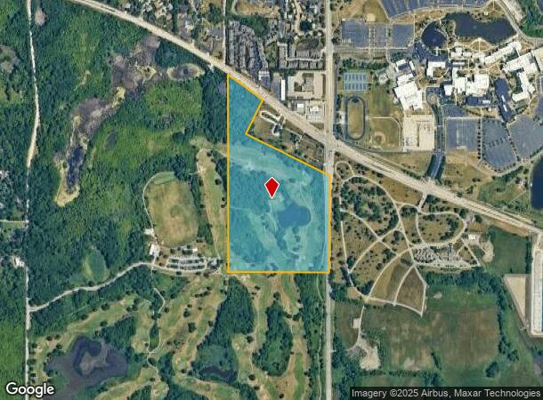
1810 S Roselle Rd, Roselle, IL 60172


This Property Is For Sale
NEARBY LISTINGS FOR SALE OR LEASE
Property Detail
1810 S Roselle Rd
02-33-100-009-0000
Cook
Taxexempt
Illinois
X
52.39 AC
17031C0179J
Schaumburg Area
0
Chicago
2024
Chicago-Naperville-Elgin, IL-IN-WI
804803
DEMOGRAPHICS near 1810 S Roselle Rd
1 Mile
3 Mile
5 Mile
2024 Total Population
6,899
90,910
238,741
2029 Population
6,707
88,245
231,360
Pop Growth 2024-2029
(2.78%)
(2.93%)
(3.09%)
Average Age
36
40
41
2024 Total Households
2,912
34,119
91,063
HH Growth 2024-2029
(3.02%)
(3.22%)
(3.39%)
Median Household Inc
$83,834
$95,504
$93,852
Avg Household Size
2.30
2.60
2.50
2024 Avg HH Vehicles
1.00
2.00
2.00
Median Home Value
$235,201
$329,157
$317,080
Median Year Built
1976
1976
1976
Nearby Places
Map Layers
Map Styles
 Street
 Aerial
- Restaurants
- Banks
- Shops
- Fitness
- Groceries
PUBLIC TRANSPORTATION
COMMUTER RAIL
Palatine Station (Union Pacific Northwest Line - Northeast Illinois Regional Commuter Railroad (Metra))
DRIVE
WALK
Distance
Palatine Station (Union Pacific Northwest Line - Northeast Illinois Regional Commuter Railroad (Metra))
8 min
4.1 mi
Arlington Park Station (Union Pacific Northwest Line - Northeast Illinois Regional Commuter Railroad (Metra))
DRIVE
WALK
Distance
Arlington Park Station (Union Pacific Northwest Line - Northeast Illinois Regional Commuter Railroad (Metra))
9 min
5.0 mi
AIRPORT
Chicago O'Hare International
DRIVE
WALK
Distance
Chicago O'Hare International
21 min
15.9 mi
Chicago Midway International
DRIVE
WALK
Distance
Chicago Midway International
46 min
32.2 mi
Freight Ports
Port Milwaukee
DRIVE
WALK
Distance
Port Milwaukee
97 min
78.8 mi
Nearby Properties
Address
Land Use
TOTAL SIZE
Lot Size
Zoning
Address
Land Use
TOTAL SIZE
Lot Size
Zoning
42.14 AC
Address
Land Use
TOTAL SIZE
Lot Size
Zoning
800,552 SF
38.86 AC
Address
Land Use
TOTAL SIZE
Lot Size
Zoning
Address
Land Use
TOTAL SIZE
Lot Size
Zoning
1,367,997 SF
Address
Land Use
TOTAL SIZE
Lot Size
Zoning
Address
Land Use
TOTAL SIZE
Lot Size
Zoning
Address
Land Use
TOTAL SIZE
Lot Size
Zoning
300,000 SF
9.29 AC
Address
Land Use
TOTAL SIZE
Lot Size
Zoning
961,890 SF
42.21 AC
Address
Land Use
TOTAL SIZE
Lot Size
Zoning
875,776 SF
8.73 AC
Address
Land Use
TOTAL SIZE
Lot Size
Zoning
Address
Land Use
TOTAL SIZE
Lot Size
Zoning
369,303 SF
29.96 AC
Address
Land Use
TOTAL SIZE
Lot Size
Zoning
934,038 SF
45.88 AC
Address
Land Use
TOTAL SIZE
Lot Size
Zoning
245,525 SF
14.69 AC
Address
Land Use
TOTAL SIZE
Lot Size
Zoning
427,761 SF
30.41 AC
Address
Land Use
TOTAL SIZE
Lot Size
Zoning
388,080 SF
12.64 AC
Address
Land Use
TOTAL SIZE
Lot Size
Zoning
239,700 SF
Address
Land Use
TOTAL SIZE
Lot Size
Zoning
382,200 SF
45.71 AC
Address
Land Use
TOTAL SIZE
Lot Size
Zoning
490,458 SF
13.52 AC
Address
Land Use
TOTAL SIZE
Lot Size
Zoning
544,744 SF
14.87 AC
Address
Land Use
TOTAL SIZE
Lot Size
Zoning
117,825 SF
4.49 AC
Address
Land Use
TOTAL SIZE
Lot Size
Zoning
375,417 SF
13.35 AC
Address
Land Use
TOTAL SIZE
Lot Size
Zoning
302,135 SF
19.28 AC
Address
Land Use
TOTAL SIZE
Lot Size
Zoning
Address
Land Use
TOTAL SIZE
Lot Size
Zoning
29.21 AC
Address
Land Use
TOTAL SIZE
Lot Size
Zoning
161,514 SF
11.17 AC
Address
Land Use
TOTAL SIZE
Lot Size
Zoning
150,452 SF
15.26 AC
Address
Land Use
TOTAL SIZE
Lot Size
Zoning
212,192 SF
7.05 AC
Address
Land Use
TOTAL SIZE
Lot Size
Zoning
133,712 SF
16.65 AC
Address
Land Use
TOTAL SIZE
Lot Size
Zoning
Address
Land Use
TOTAL SIZE
Lot Size
Zoning
108,890 SF
10.04 AC
The World's #1 Commercial Real Estate Marketplace
Connect with us
© 2025 CoStar Group
The information above has been obtained from sources believed reliable. While we do not doubt its accuracy we have not verified it and make no guarantee, warranty or representation about it. It is your responsibility to independently confirm its accuracy and completeness. Any projections, opinions, assumptions, or estimates used are for example only and do not represent the current or future performance of the property. The value of this transaction to you depends on tax and other factors which should be evaluated by your tax, financial, and legal advisors. You and your advisors should conduct a careful, independent investigation of the property to determine to your satisfaction the suitability of the property for your needs.