Property Record
1992 Declaration Dr, Independence, KY 41051
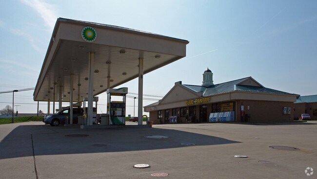


Property Detail
1992 Declaration Dr
Cincinnati, OH-KY-IN
IND TOWNE CNTR SEC 2 LOT 5
033-00-03-005.00
Kenton
Commercialofficeresidentialmixeduse
Kentucky
B and X Area of moderate flood hazard, usually the area between the limits of the 100-year and 500-year floods.
5
2025
2.48 AC
2025
Outlying N Kentucky
063610
Cincinnati/Dayton
12,662 SF
NEARBY LISTINGS FOR SALE OR LEASE
-
-
View all Independence listings for sale on LoopNet.com
DEMOGRAPHICS near 1992 Declaration Dr
1 mile
3 mile
5 mile
2025 Total Population
4,215
27,256
69,626
2030 Population
4,354
28,408
72,566
Pop Growth 2025-2030
+ 3.30%
+ 4.23%
+ 4.22%
Average Age
41
38
38
2025 Total Households
1,575
9,282
24,152
HH Growth 2025-2030
+ 3.30%
+ 4.24%
+ 4.18%
Median Household Inc
$93,274
$99,459
$92,565
Avg Household Size
2.70
2.90
2.80
2025 Avg HH Vehicles
2.00
2.00
2.00
Median Home Value
$248,141
$265,620
$260,211
Median Year Built
1993
2000
1994
Nearby Places
Map Layers
Map Styles
 Street
 Aerial
Layers
 Traffic
 Biking
Places
Listings with unknown addresses are not visible on the map
- Restaurants
- Banks
- Shops
- Fitness
- Groceries
PUBLIC TRANSPORTATION
AIRPORT
Cincinnati/Northern Kentucky International
Drive
Walk
Distance
Cincinnati/Northern Kentucky International
28 min
13.6 mi
Nearby Properties
Address
Land Use
TOTAL SIZE
Lot Size
Zoning
Address
Land Use
TOTAL SIZE
Lot Size
Zoning
28.50 AC
Address
Land Use
TOTAL SIZE
Lot Size
Zoning
50.66 AC
Address
Land Use
TOTAL SIZE
Lot Size
Zoning
1,568 SF
40.46 AC
Address
Land Use
TOTAL SIZE
Lot Size
Zoning
123,480 SF
11.96 AC
Address
Land Use
TOTAL SIZE
Lot Size
Zoning
Address
Land Use
TOTAL SIZE
Lot Size
Zoning
13.27 AC
Address
Land Use
TOTAL SIZE
Lot Size
Zoning
25.04 AC
Address
Land Use
TOTAL SIZE
Lot Size
Zoning
Address
Land Use
TOTAL SIZE
Lot Size
Zoning
39,000 SF
5.70 AC
Address
Land Use
TOTAL SIZE
Lot Size
Zoning
15.65 AC
Address
Land Use
TOTAL SIZE
Lot Size
Zoning
105,205 SF
6.71 AC
Address
Land Use
TOTAL SIZE
Lot Size
Zoning
10.08 AC
Address
Land Use
TOTAL SIZE
Lot Size
Zoning
11.73 AC
Address
Land Use
TOTAL SIZE
Lot Size
Zoning
Address
Land Use
TOTAL SIZE
Lot Size
Zoning
26,000 SF
6.86 AC
Address
Land Use
TOTAL SIZE
Lot Size
Zoning
12,520 SF
3.06 AC
Address
Land Use
TOTAL SIZE
Lot Size
Zoning
1,200 SF
8.05 AC
Address
Land Use
TOTAL SIZE
Lot Size
Zoning
Address
Land Use
TOTAL SIZE
Lot Size
Zoning
14,820 SF
2.11 AC
Address
Land Use
TOTAL SIZE
Lot Size
Zoning
24.12 AC
Address
Land Use
TOTAL SIZE
Lot Size
Zoning
26,252 SF
2.98 AC
Address
Land Use
TOTAL SIZE
Lot Size
Zoning
Address
Land Use
TOTAL SIZE
Lot Size
Zoning
8,228 SF
2.46 AC
Address
Land Use
TOTAL SIZE
Lot Size
Zoning
5,270 SF
1.68 AC
Address
Land Use
TOTAL SIZE
Lot Size
Zoning
2,201 SF
3.39 AC
Address
Land Use
TOTAL SIZE
Lot Size
Zoning
1.97 AC
Address
Land Use
TOTAL SIZE
Lot Size
Zoning
12,785 SF
24.30 AC
Address
Land Use
TOTAL SIZE
Lot Size
Zoning
21,962 SF
5.58 AC
Address
Land Use
TOTAL SIZE
Lot Size
Zoning
The World's #1 Commercial Real Estate Marketplace
Connect with us
© 2026 CoStar Group
The information above has been obtained from sources believed reliable. While we do not doubt its accuracy we have not verified it and make no guarantee, warranty or representation about it. It is your responsibility to independently confirm its accuracy and completeness. Any projections, opinions, assumptions, or estimates used are for example only and do not represent the current or future performance of the property. The value of this transaction to you depends on tax and other factors which should be evaluated by your tax, financial, and legal advisors. You and your advisors should conduct a careful, independent investigation of the property to determine to your satisfaction the suitability of the property for your needs.