Property Record
2 N Main St, Wendell, NC 27591

Property Detail
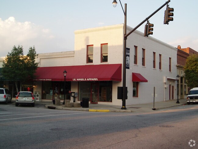
2 N Main St
1783.07-69-9861-000
LO5 PROPERTY R B WHITLEY HEIRS & OTHERS
Storesoffices
Wake
DMX
North Carolina
B and X Area of moderate flood hazard, usually the area between the limits of the 100-year and 500-year floods.
5
2025
0.02 AC
2025
Northeast Wake County
054402
Raleigh/Durham
2,040 SF
Raleigh-Cary, NC
NEARBY LISTINGS FOR SALE OR LEASE
DEMOGRAPHICS near 2 N Main St
1 mile
3 mile
5 mile
2025 Total Population
5,572
17,351
40,417
2030 Population
6,162
19,197
44,770
Pop Growth 2025-2030
+ 10.59%
+ 10.64%
+ 10.77%
Average Age
39
39
39
2025 Total Households
2,063
6,425
14,890
HH Growth 2025-2030
+ 11.10%
+ 11.13%
+ 11.20%
Median Household Inc
$83,787
$84,513
$83,501
Avg Household Size
2.70
2.70
2.70
2025 Avg HH Vehicles
2.00
2.00
2.00
Median Home Value
$320,323
$329,602
$342,980
Median Year Built
2003
2002
2000
Nearby Places
Map Layers
Map Styles
 Street
 Aerial
Layers
 Traffic
 Biking
Places
Listings with unknown addresses are not visible on the map
- Restaurants
- Banks
- Shops
- Fitness
- Groceries
PUBLIC TRANSPORTATION
AIRPORT
Raleigh-Durham International
Drive
Walk
Distance
Raleigh-Durham International
43 min
30.3 mi
SALE & LEASE HISTORY
LISTING DATE
SALE/LEASE

Sep 25, 2016
For Lease
Mar 21, 2017
For Lease
Jul 14, 2017
For Lease
Jan 11, 2021
For Lease
Nearby Properties
Address
Land Use
TOTAL SIZE
Lot Size
Zoning
Address
Land Use
TOTAL SIZE
Lot Size
Zoning
377,673 SF
27.54 AC
PUD-1
Address
Land Use
TOTAL SIZE
Lot Size
Zoning
152,472 SF
24.42 AC
R-40
Address
Land Use
TOTAL SIZE
Lot Size
Zoning
271,950 SF
128.61 AC
I-2
Address
Land Use
TOTAL SIZE
Lot Size
Zoning
66,695 SF
19.89 AC
NC
Address
Land Use
TOTAL SIZE
Lot Size
Zoning
86,168 SF
19.65 AC
RA
Address
Land Use
TOTAL SIZE
Lot Size
Zoning
41,572 SF
43.57 AC
CMX-C
Address
Land Use
TOTAL SIZE
Lot Size
Zoning
83,654 SF
5.80 AC
NC
Address
Land Use
TOTAL SIZE
Lot Size
Zoning
138,653 SF
45.85 AC
MI
Address
Land Use
TOTAL SIZE
Lot Size
Zoning
38,093 SF
1.73 AC
DMX
Address
Land Use
TOTAL SIZE
Lot Size
Zoning
672 SF
197.30 AC
PUD
Address
Land Use
TOTAL SIZE
Lot Size
Zoning
65,300 SF
11.64 AC
CMX
Address
Land Use
TOTAL SIZE
Lot Size
Zoning
16,776 SF
6.63 AC
R3
Address
Land Use
TOTAL SIZE
Lot Size
Zoning
40,897 SF
8.67 AC
CMX-C
Address
Land Use
TOTAL SIZE
Lot Size
Zoning
249 AC
PUD
Address
Land Use
TOTAL SIZE
Lot Size
Zoning
48,400 SF
5.87 AC
CMX
Address
Land Use
TOTAL SIZE
Lot Size
Zoning
30,240 SF
8.01 AC
RR
Address
Land Use
TOTAL SIZE
Lot Size
Zoning
14,626 SF
8.11 AC
CMX
Address
Land Use
TOTAL SIZE
Lot Size
Zoning
23,629 SF
18.91 AC
RA
Address
Land Use
TOTAL SIZE
Lot Size
Zoning
17,786 SF
74.01 AC
RA
Address
Land Use
TOTAL SIZE
Lot Size
Zoning
51,732 SF
5.32 AC
CMX
Address
Land Use
TOTAL SIZE
Lot Size
Zoning
56,628 SF
1.73 AC
CH-CD
Address
Land Use
TOTAL SIZE
Lot Size
Zoning
14,400 SF
26.18 AC
NC
Address
Land Use
TOTAL SIZE
Lot Size
Zoning
136,385 SF
4.15 AC
MI
Address
Land Use
TOTAL SIZE
Lot Size
Zoning
1,496 SF
164.09 AC
R-40
Address
Land Use
TOTAL SIZE
Lot Size
Zoning
42,570 SF
7.43 AC
CH
Address
Land Use
TOTAL SIZE
Lot Size
Zoning
35,683 SF
9.15 AC
MI
Address
Land Use
TOTAL SIZE
Lot Size
Zoning
89,822 SF
6.57 AC
RA
Address
Land Use
TOTAL SIZE
Lot Size
Zoning
18,339 SF
3.18 AC
R2
Address
Land Use
TOTAL SIZE
Lot Size
Zoning
118.65 AC
R-30
Address
Land Use
TOTAL SIZE
Lot Size
Zoning
120.04 AC
R3
The World's #1 Commercial Real Estate Marketplace
Connect with us
© 2026 CoStar Group
The information above has been obtained from sources believed reliable. While we do not doubt its accuracy we have not verified it and make no guarantee, warranty or representation about it. It is your responsibility to independently confirm its accuracy and completeness. Any projections, opinions, assumptions, or estimates used are for example only and do not represent the current or future performance of the property. The value of this transaction to you depends on tax and other factors which should be evaluated by your tax, financial, and legal advisors. You and your advisors should conduct a careful, independent investigation of the property to determine to your satisfaction the suitability of the property for your needs.