Property Record
2 Cedar St, Portland, ME 04101


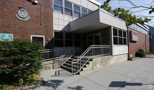
Property Detail
2 Cedar St
PTLD-000033-000000-N020001
CUMBERLAND
Charitableorganization
Maine
B and X Area of moderate flood hazard, usually the area between the limits of the 100-year and 500-year floods.
0.41 AC
0
Bayside
2025
Portland/South Portland
000300
Portland-South Portland, ME
32,625 SF
NEARBY LISTINGS FOR SALE OR LEASE
DEMOGRAPHICS near 2 Cedar St
1 mile
3 mile
5 mile
2025 Total Population
25,526
72,129
109,782
2030 Population
26,077
72,548
110,733
Pop Growth 2025-2030
+ 2.16%
+ 0.58%
+ 0.87%
Average Age
39
41
42
2025 Total Households
13,871
34,556
50,399
HH Growth 2025-2030
+ 2.37%
+ 0.74%
+ 1.06%
Median Household Inc
$71,259
$86,537
$91,912
Avg Household Size
1.70
2.00
2.10
2025 Avg HH Vehicles
1.00
1.00
2.00
Median Home Value
$717,398
$529,717
$494,635
Median Year Built
1947
1948
1954
Nearby Places
Map Layers
Map Styles
 Street
 Aerial
Layers
 Traffic
 Biking
Places
Listings with unknown addresses are not visible on the map
- Restaurants
- Banks
- Shops
- Fitness
- Groceries
PUBLIC TRANSPORTATION
COMMUTER RAIL
Portland (Downeaster - Amtrak)
Drive
Walk
Distance
Portland (Downeaster - Amtrak)
4 min
1.9 mi
AIRPORT
Portland International Jetport
Drive
Walk
Distance
Portland International Jetport
9 min
4.0 mi
Freight Ports
Portland, ME
Drive
Walk
Distance
Portland, ME
2 min
0.9 mi
Nearby Properties
Address
Land Use
TOTAL SIZE
Lot Size
Zoning
Address
Land Use
TOTAL SIZE
Lot Size
Zoning
8.11 AC
Address
Land Use
TOTAL SIZE
Lot Size
Zoning
212.57 AC
Address
Land Use
TOTAL SIZE
Lot Size
Zoning
12.51 AC
Address
Land Use
TOTAL SIZE
Lot Size
Zoning
133,492 SF
27.60 AC
Address
Land Use
TOTAL SIZE
Lot Size
Zoning
32.33 AC
Address
Land Use
TOTAL SIZE
Lot Size
Zoning
103,898 SF
0.66 AC
Address
Land Use
TOTAL SIZE
Lot Size
Zoning
7,116 SF
34 AC
WB
Address
Land Use
TOTAL SIZE
Lot Size
Zoning
732,640 SF
Address
Land Use
TOTAL SIZE
Lot Size
Zoning
260,061 SF
1.07 AC
Address
Land Use
TOTAL SIZE
Lot Size
Zoning
130,659 SF
0.78 AC
Address
Land Use
TOTAL SIZE
Lot Size
Zoning
201,630 SF
0.45 AC
Address
Land Use
TOTAL SIZE
Lot Size
Zoning
24.93 AC
Address
Land Use
TOTAL SIZE
Lot Size
Zoning
266,228 SF
2.68 AC
Address
Land Use
TOTAL SIZE
Lot Size
Zoning
26,584 SF
2.79 AC
Address
Land Use
TOTAL SIZE
Lot Size
Zoning
101,619 SF
0.55 AC
Address
Land Use
TOTAL SIZE
Lot Size
Zoning
1.12 AC
Address
Land Use
TOTAL SIZE
Lot Size
Zoning
86,510 SF
0.81 AC
Address
Land Use
TOTAL SIZE
Lot Size
Zoning
5.13 AC
Address
Land Use
TOTAL SIZE
Lot Size
Zoning
238,150 SF
1.37 AC
Address
Land Use
TOTAL SIZE
Lot Size
Zoning
75,370 SF
0.23 AC
Address
Land Use
TOTAL SIZE
Lot Size
Zoning
78,396 SF
8.60 AC
Address
Land Use
TOTAL SIZE
Lot Size
Zoning
157,435 SF
2.28 AC
Address
Land Use
TOTAL SIZE
Lot Size
Zoning
84,627 SF
Address
Land Use
TOTAL SIZE
Lot Size
Zoning
76,957 SF
0.39 AC
Address
Land Use
TOTAL SIZE
Lot Size
Zoning
10.18 AC
Address
Land Use
TOTAL SIZE
Lot Size
Zoning
25.75 AC
BON
Address
Land Use
TOTAL SIZE
Lot Size
Zoning
80,189 SF
0.44 AC
Address
Land Use
TOTAL SIZE
Lot Size
Zoning
34.33 AC
Z
Address
Land Use
TOTAL SIZE
Lot Size
Zoning
9.11 AC
Address
Land Use
TOTAL SIZE
Lot Size
Zoning
285,570 SF
1.37 AC
The World's #1 Commercial Real Estate Marketplace
Connect with us
© 2026 CoStar Group
The information above has been obtained from sources believed reliable. While we do not doubt its accuracy we have not verified it and make no guarantee, warranty or representation about it. It is your responsibility to independently confirm its accuracy and completeness. Any projections, opinions, assumptions, or estimates used are for example only and do not represent the current or future performance of the property. The value of this transaction to you depends on tax and other factors which should be evaluated by your tax, financial, and legal advisors. You and your advisors should conduct a careful, independent investigation of the property to determine to your satisfaction the suitability of the property for your needs.