Property Record
2 Dunsbach Rd, Halfmoon, NY 12065

Property Detail
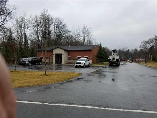
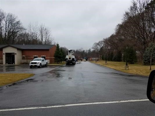
2 Dunsbach Rd
Albany-Schenectady-Troy, NY
AUTO SALVAGE YARD/LAND
413800-284-000-0004-056-012-0000
Saratoga
Officebuilding
New York
02 - SINGL
56.012
2025
18.87 AC
2024
Saratoga County
062407
Albany/Schenectady/Troy
4,793 SF
NEARBY LISTINGS FOR SALE OR LEASE
DEMOGRAPHICS near 2 Dunsbach Rd
1 mile
3 mile
5 mile
2025 Total Population
2,473
33,947
99,480
2030 Population
2,492
34,175
99,817
Pop Growth 2025-2030
+ 0.77%
+ 0.67%
+ 0.34%
Average Age
43
43
42
2025 Total Households
1,102
14,149
42,552
HH Growth 2025-2030
+ 0.82%
+ 0.63%
+ 0.26%
Median Household Inc
$103,598
$102,824
$86,807
Avg Household Size
2.20
2.30
2.30
2025 Avg HH Vehicles
2.00
2.00
2.00
Median Home Value
$312,883
$349,482
$331,040
Median Year Built
1980
1982
1976
Nearby Places
Map Layers
Map Styles
 Street
 Aerial
Transit
 Traffic
 Biking
Places
Listings with unknown addresses are not visible on the map
- Restaurants
- Banks
- Shops
- Fitness
- Groceries
PUBLIC TRANSPORTATION
AIRPORT
Albany International
Drive
Walk
Distance
Albany International
14 min
7.9 mi
Freight Ports
Albany, NY Port
Drive
Walk
Distance
Albany, NY Port
30 min
18.4 mi
SALE & LEASE HISTORY
LISTING DATE
SALE/LEASE

Mar 08, 2017
For Sale
Nearby Properties
Address
Land Use
TOTAL SIZE
Lot Size
Zoning
Address
Land Use
TOTAL SIZE
Lot Size
Zoning
90,316 SF
57.10 AC
04 - FARM
Address
Land Use
TOTAL SIZE
Lot Size
Zoning
242,630 SF
18.50 AC
16
Address
Land Use
TOTAL SIZE
Lot Size
Zoning
20,444 SF
40.95 AC
02 - SINGL
Address
Land Use
TOTAL SIZE
Lot Size
Zoning
4,680 SF
26.74 AC
Address
Land Use
TOTAL SIZE
Lot Size
Zoning
73,736 SF
7.58 AC
14
Address
Land Use
TOTAL SIZE
Lot Size
Zoning
12,234 SF
32 AC
05 - COMME
Address
Land Use
TOTAL SIZE
Lot Size
Zoning
12,294 SF
36.70 AC
03 - MULTI
Address
Land Use
TOTAL SIZE
Lot Size
Zoning
16,545 SF
21.40 AC
04 - FARM
Address
Land Use
TOTAL SIZE
Lot Size
Zoning
8,270 SF
16.74 AC
A1
Address
Land Use
TOTAL SIZE
Lot Size
Zoning
195,069 SF
28.40 AC
07 - MIXED
Address
Land Use
TOTAL SIZE
Lot Size
Zoning
22,401 SF
9.69 AC
25
Address
Land Use
TOTAL SIZE
Lot Size
Zoning
147,200 SF
0.89 AC
05 - COMME
Address
Land Use
TOTAL SIZE
Lot Size
Zoning
61,697 SF
5.04 AC
14
Address
Land Use
TOTAL SIZE
Lot Size
Zoning
23,402 SF
5.84 AC
25
Address
Land Use
TOTAL SIZE
Lot Size
Zoning
100 SF
173.60 AC
04 - FARM
Address
Land Use
TOTAL SIZE
Lot Size
Zoning
46,420 SF
3.47 AC
14
Address
Land Use
TOTAL SIZE
Lot Size
Zoning
528 SF
5.90 AC
02 - SINGL
Address
Land Use
TOTAL SIZE
Lot Size
Zoning
60,024 SF
12.50 AC
04 - FARM
Address
Land Use
TOTAL SIZE
Lot Size
Zoning
120,645 SF
17.43 AC
15
Address
Land Use
TOTAL SIZE
Lot Size
Zoning
34,234 SF
17.27 AC
07 - MIXED
Address
Land Use
TOTAL SIZE
Lot Size
Zoning
42,606 SF
5.65 AC
A1
Address
Land Use
TOTAL SIZE
Lot Size
Zoning
36,840 SF
10.80 AC
16
Address
Land Use
TOTAL SIZE
Lot Size
Zoning
14,751 SF
12.55 AC
08 - GOVER
Address
Land Use
TOTAL SIZE
Lot Size
Zoning
54,711 SF
3.84 AC
14
Address
Land Use
TOTAL SIZE
Lot Size
Zoning
26,472 SF
3.86 AC
26
Address
Land Use
TOTAL SIZE
Lot Size
Zoning
60,896 SF
5.90 AC
12
Address
Land Use
TOTAL SIZE
Lot Size
Zoning
3,840 SF
9.15 AC
02 - SINGL
Address
Land Use
TOTAL SIZE
Lot Size
Zoning
7,424 SF
8.28 AC
07 - MIXED
Address
Land Use
TOTAL SIZE
Lot Size
Zoning
1,680 SF
16.79 AC
05 - COMME
Address
Land Use
TOTAL SIZE
Lot Size
Zoning
44,124 SF
16.10 AC
07 - MIXED
The World's #1 Commercial Real Estate Marketplace
Connect with us
© 2026 CoStar Group
The information above has been obtained from sources believed reliable. While we do not doubt its accuracy we have not verified it and make no guarantee, warranty or representation about it. It is your responsibility to independently confirm its accuracy and completeness. Any projections, opinions, assumptions, or estimates used are for example only and do not represent the current or future performance of the property. The value of this transaction to you depends on tax and other factors which should be evaluated by your tax, financial, and legal advisors. You and your advisors should conduct a careful, independent investigation of the property to determine to your satisfaction the suitability of the property for your needs.