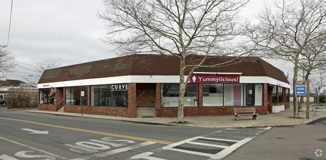
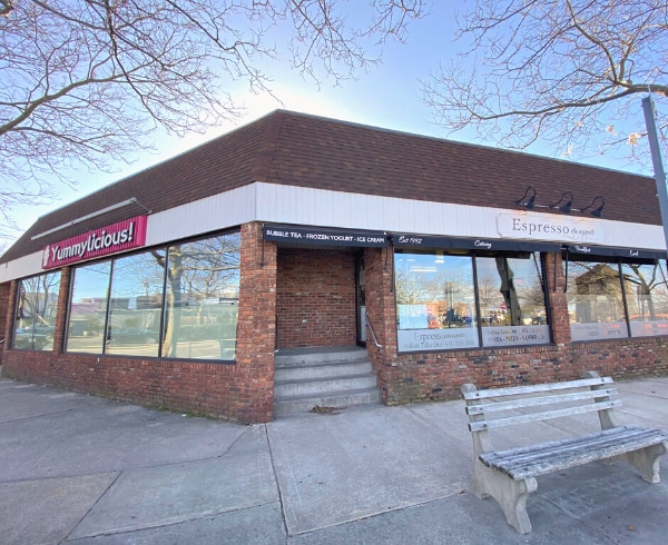
Property Record
2 E Main St, Yaphank, NY 11980

Property Detail
2 E Main St
0903-002-00-02-00-007-003
88 BOR N/C 89 BOR N/C R N/C
Commercialnec
Suffolk
VILLA
New York
AE The base floodplain where base flood elevations are provided. AE Zones are now used on new format FIRMs instead of A1-A30 Zones.
7
2024
0.27 AC
2024
Eastern Suffolk
158709
Long Island (New York)
4,925 SF
Nassau County-Suffolk County, NY
NEARBY LISTINGS FOR SALE OR LEASE
DEMOGRAPHICS near 2 E Main St
1 mile
3 mile
5 mile
2025 Total Population
3,375
11,521
23,119
2030 Population
3,583
12,216
24,589
Pop Growth 2025-2030
+ 6.16%
+ 6.03%
+ 6.36%
Average Age
47
46
46
2025 Total Households
1,451
4,756
9,468
HH Growth 2025-2030
+ 6.00%
+ 5.93%
+ 6.24%
Median Household Inc
$137,500
$131,813
$137,769
Avg Household Size
2.30
2.40
2.40
2025 Avg HH Vehicles
2.00
2.00
2.00
Median Home Value
$1,087,201
$1,053,754
$1,056,729
Median Year Built
1978
1982
1982
Nearby Places
Map Layers
Map Styles
 Street
 Aerial
Transit
 Traffic
 Biking
Places
Listings with unknown addresses are not visible on the map
- Restaurants
- Banks
- Shops
- Fitness
- Groceries
PUBLIC TRANSPORTATION
COMMUTER RAIL
Yaphank Station (Greenport Branch - Long Island Rail Road)
Drive
Walk
Distance
Yaphank Station (Greenport Branch - Long Island Rail Road)
3 min
1.3 mi
Mastic-Shirley (Montauk Branch - Long Island Rail Road)
Drive
Walk
Distance
Mastic-Shirley (Montauk Branch - Long Island Rail Road)
9 min
4.4 mi
AIRPORT
Long Island MacArthur
Drive
Walk
Distance
Long Island MacArthur
23 min
13.4 mi
Freight Ports
Port of New Haven
Drive
Walk
Distance
Port of New Haven
133 min
49.9 mi
SALE & LEASE HISTORY
LISTING DATE
SALE/LEASE

Jun 07, 2024
For Sale
Nearby Properties
Address
Land Use
TOTAL SIZE
Lot Size
Zoning
Address
Land Use
TOTAL SIZE
Lot Size
Zoning
1,180.32 AC
Address
Land Use
TOTAL SIZE
Lot Size
Zoning
1.68 AC
Address
Land Use
TOTAL SIZE
Lot Size
Zoning
19.30 AC
Address
Land Use
TOTAL SIZE
Lot Size
Zoning
3,238 SF
0.15 AC
VILLA
Address
Land Use
TOTAL SIZE
Lot Size
Zoning
48.38 AC
Address
Land Use
TOTAL SIZE
Lot Size
Zoning
32.85 AC
Address
Land Use
TOTAL SIZE
Lot Size
Zoning
71.41 AC
Address
Land Use
TOTAL SIZE
Lot Size
Zoning
17.62 AC
Address
Land Use
TOTAL SIZE
Lot Size
Zoning
32.70 AC
Address
Land Use
TOTAL SIZE
Lot Size
Zoning
165.20 AC
Address
Land Use
TOTAL SIZE
Lot Size
Zoning
14.10 AC
Address
Land Use
TOTAL SIZE
Lot Size
Zoning
1,362 SF
0.39 AC
HC
Address
Land Use
TOTAL SIZE
Lot Size
Zoning
63.90 AC
Address
Land Use
TOTAL SIZE
Lot Size
Zoning
16.04 AC
Address
Land Use
TOTAL SIZE
Lot Size
Zoning
73.70 AC
Address
Land Use
TOTAL SIZE
Lot Size
Zoning
Address
Land Use
TOTAL SIZE
Lot Size
Zoning
37.80 AC
Address
Land Use
TOTAL SIZE
Lot Size
Zoning
28.10 AC
Address
Land Use
TOTAL SIZE
Lot Size
Zoning
3.33 AC
Address
Land Use
TOTAL SIZE
Lot Size
Zoning
2.70 AC
Address
Land Use
TOTAL SIZE
Lot Size
Zoning
26.67 AC
Address
Land Use
TOTAL SIZE
Lot Size
Zoning
Address
Land Use
TOTAL SIZE
Lot Size
Zoning
21.05 AC
Address
Land Use
TOTAL SIZE
Lot Size
Zoning
4.60 AC
Address
Land Use
TOTAL SIZE
Lot Size
Zoning
Address
Land Use
TOTAL SIZE
Lot Size
Zoning
Address
Land Use
TOTAL SIZE
Lot Size
Zoning
83.56 AC
Address
Land Use
TOTAL SIZE
Lot Size
Zoning
Address
Land Use
TOTAL SIZE
Lot Size
Zoning
93 AC
The World's #1 Commercial Real Estate Marketplace
Connect with us
© 2026 CoStar Group
The information above has been obtained from sources believed reliable. While we do not doubt its accuracy we have not verified it and make no guarantee, warranty or representation about it. It is your responsibility to independently confirm its accuracy and completeness. Any projections, opinions, assumptions, or estimates used are for example only and do not represent the current or future performance of the property. The value of this transaction to you depends on tax and other factors which should be evaluated by your tax, financial, and legal advisors. You and your advisors should conduct a careful, independent investigation of the property to determine to your satisfaction the suitability of the property for your needs.