Property Record
2 E Spit Brook Rd, Nashua, NH 03060
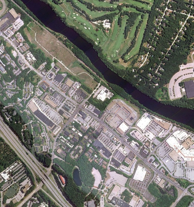

Property Detail
2 E Spit Brook Rd
NASH-000000-000000-000218A
HILLSBOROUGH
Commercialacreage
New Hampshire
GB
218
AE The base floodplain where base flood elevations are provided. AE Zones are now used on new format FIRMs instead of A1-A30 Zones.
16.31 AC
2025
Hillsborough
2025
Boston
011102
Manchester-Nashua, NH
NEARBY LISTINGS FOR SALE OR LEASE
DEMOGRAPHICS near 2 E Spit Brook Rd
1 mile
3 mile
5 mile
2025 Total Population
6,058
39,800
119,154
2030 Population
6,114
40,280
121,312
Pop Growth 2025-2030
+ 0.92%
+ 1.21%
+ 1.81%
Average Age
38
42
42
2025 Total Households
3,076
15,963
47,608
HH Growth 2025-2030
+ 1.04%
+ 1.27%
+ 1.83%
Median Household Inc
$88,734
$113,001
$104,999
Avg Household Size
2.00
2.40
2.40
2025 Avg HH Vehicles
1.00
2.00
2.00
Median Home Value
$295,528
$463,844
$452,073
Median Year Built
1981
1979
1976
Nearby Places
Map Layers
Map Styles
 Street
 Aerial
Transit
 Traffic
 Biking
Places
Listings with unknown addresses are not visible on the map
- Restaurants
- Banks
- Shops
- Fitness
- Groceries
PUBLIC TRANSPORTATION
AIRPORT
Manchester Boston Regional
Drive
Walk
Distance
Manchester Boston Regional
30 min
19.3 mi
Freight Ports
Port of Boston
Drive
Walk
Distance
Port of Boston
62 min
44.9 mi
SALE & LEASE HISTORY
LISTING DATE
SALE/LEASE

Sep 24, 2016
For Sale
Apr 12, 2017
For Sale
Nearby Properties
Address
Land Use
TOTAL SIZE
Lot Size
Zoning
Address
Land Use
TOTAL SIZE
Lot Size
Zoning
38.17 AC
RC
Address
Land Use
TOTAL SIZE
Lot Size
Zoning
29.77 AC
RC
Address
Land Use
TOTAL SIZE
Lot Size
Zoning
80.11 AC
PI
Address
Land Use
TOTAL SIZE
Lot Size
Zoning
27.98 AC
GI
Address
Land Use
TOTAL SIZE
Lot Size
Zoning
20.72 AC
RC
Address
Land Use
TOTAL SIZE
Lot Size
Zoning
522,476 SF
74.89 AC
ID
Address
Land Use
TOTAL SIZE
Lot Size
Zoning
15.19 AC
RC
Address
Land Use
TOTAL SIZE
Lot Size
Zoning
118.50 AC
PI
Address
Land Use
TOTAL SIZE
Lot Size
Zoning
20.80 AC
RC
Address
Land Use
TOTAL SIZE
Lot Size
Zoning
303,508 SF
171.19 AC
G1
Address
Land Use
TOTAL SIZE
Lot Size
Zoning
133,390 SF
97.42 AC
B
Address
Land Use
TOTAL SIZE
Lot Size
Zoning
52.45 AC
R18
Address
Land Use
TOTAL SIZE
Lot Size
Zoning
206,913 SF
18.30 AC
GB
Address
Land Use
TOTAL SIZE
Lot Size
Zoning
15.16 AC
GI
Address
Land Use
TOTAL SIZE
Lot Size
Zoning
21.40 AC
RC
Address
Land Use
TOTAL SIZE
Lot Size
Zoning
37.57 AC
R9
Address
Land Use
TOTAL SIZE
Lot Size
Zoning
8.87 AC
RC
Address
Land Use
TOTAL SIZE
Lot Size
Zoning
153,922 SF
6.84 AC
GB
Address
Land Use
TOTAL SIZE
Lot Size
Zoning
21.16 AC
D3MU
Address
Land Use
TOTAL SIZE
Lot Size
Zoning
312,738 SF
25.84 AC
ID
Address
Land Use
TOTAL SIZE
Lot Size
Zoning
127,494 SF
9.09 AC
GB
Address
Land Use
TOTAL SIZE
Lot Size
Zoning
12.55 AC
RC
Address
Land Use
TOTAL SIZE
Lot Size
Zoning
21.17 AC
RC
Address
Land Use
TOTAL SIZE
Lot Size
Zoning
185,242 SF
35.75 AC
ID
Address
Land Use
TOTAL SIZE
Lot Size
Zoning
8.09 AC
RC
Address
Land Use
TOTAL SIZE
Lot Size
Zoning
154,620 SF
8.63 AC
GB
Address
Land Use
TOTAL SIZE
Lot Size
Zoning
180,284 SF
16.13 AC
RB
Address
Land Use
TOTAL SIZE
Lot Size
Zoning
116,602 SF
11.74 AC
GB
Address
Land Use
TOTAL SIZE
Lot Size
Zoning
77,276 SF
19.50 AC
PI
The World's #1 Commercial Real Estate Marketplace
Connect with us
© 2026 CoStar Group
The information above has been obtained from sources believed reliable. While we do not doubt its accuracy we have not verified it and make no guarantee, warranty or representation about it. It is your responsibility to independently confirm its accuracy and completeness. Any projections, opinions, assumptions, or estimates used are for example only and do not represent the current or future performance of the property. The value of this transaction to you depends on tax and other factors which should be evaluated by your tax, financial, and legal advisors. You and your advisors should conduct a careful, independent investigation of the property to determine to your satisfaction the suitability of the property for your needs.