Property Record
2 Goodmans Xing N, Scotch Plains, NJ 07076

NEARBY LISTINGS FOR SALE OR LEASE
Property Detail
2 Goodmans Xing N
16-13801-0000-00002
Union
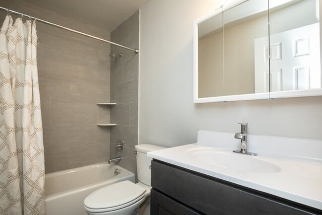
Apartment
New Jersey
AE
2
34023C0052F
31.86 AC
2024
Western Union County
2025
Northern New Jersey
038702
Newark, NJ-PA
DEMOGRAPHICS near 2 Goodmans Xing N
1 Mile
3 Mile
5 Mile
2024 Total Population
9,992
121,338
391,115
2029 Population
10,013
120,683
387,833
Pop Growth 2024-2029
+ 0.21%
(0.54%)
(0.84%)
Average Age
43
42
40
2024 Total Households
3,981
42,522
136,231
HH Growth 2024-2029
+ 0.15%
(0.64%)
(0.92%)
Median Household Inc
$120,259
$136,568
$108,855
Avg Household Size
2.50
2.80
2.80
2024 Avg HH Vehicles
2.00
2.00
2.00
Median Home Value
$606,050
$548,946
$462,508
Median Year Built
1971
1960
1959
Nearby Places
Map Layers
Map Styles
 Street
 Aerial
- Restaurants
- Banks
- Shops
- Fitness
- Groceries
PUBLIC TRANSPORTATION
COMMUTER RAIL
Westfield (Raritan Valley Line - NJ Transit Commuter Rail (NJ Transit))
DRIVE
WALK
Distance
Westfield (Raritan Valley Line - NJ Transit Commuter Rail (NJ Transit))
10 min
4.0 mi
Garwood (Raritan Valley Line - NJ Transit Commuter Rail (NJ Transit))
DRIVE
WALK
Distance
Garwood (Raritan Valley Line - NJ Transit Commuter Rail (NJ Transit))
13 min
5.2 mi
AIRPORT
Newark Liberty International
DRIVE
WALK
Distance
Newark Liberty International
23 min
16.3 mi
LaGuardia
DRIVE
WALK
Distance
LaGuardia
57 min
35.5 mi
John F Kennedy International
DRIVE
WALK
Distance
John F Kennedy International
60 min
39.8 mi
Freight Ports
New York Container Terminal
DRIVE
WALK
Distance
New York Container Terminal
22 min
12.4 mi
Nearby Properties
Address
Land Use
TOTAL SIZE
Lot Size
Zoning
Address
Land Use
TOTAL SIZE
Lot Size
Zoning
Address
Land Use
TOTAL SIZE
Lot Size
Zoning
10.11 AC
Address
Land Use
TOTAL SIZE
Lot Size
Zoning
8.43 AC
Address
Land Use
TOTAL SIZE
Lot Size
Zoning
29.03 AC
IL
Address
Land Use
TOTAL SIZE
Lot Size
Zoning
9.42 AC
Address
Land Use
TOTAL SIZE
Lot Size
Zoning
159,434 SF
11.93 AC
IL
Address
Land Use
TOTAL SIZE
Lot Size
Zoning
19.90 AC
P
Address
Land Use
TOTAL SIZE
Lot Size
Zoning
Address
Land Use
TOTAL SIZE
Lot Size
Zoning
96.22 AC
RA
Address
Land Use
TOTAL SIZE
Lot Size
Zoning
10.15 AC
RA
Address
Land Use
TOTAL SIZE
Lot Size
Zoning
5,645 SF
91.16 AC
O
Address
Land Use
TOTAL SIZE
Lot Size
Zoning
4.13 AC
Address
Land Use
TOTAL SIZE
Lot Size
Zoning
3.87 AC
CG
Address
Land Use
TOTAL SIZE
Lot Size
Zoning
31,002 SF
3.64 AC
Address
Land Use
TOTAL SIZE
Lot Size
Zoning
8.84 AC
Address
Land Use
TOTAL SIZE
Lot Size
Zoning
10.16 AC
Address
Land Use
TOTAL SIZE
Lot Size
Zoning
7.63 AC
Address
Land Use
TOTAL SIZE
Lot Size
Zoning
188,800 SF
5.61 AC
Address
Land Use
TOTAL SIZE
Lot Size
Zoning
8.40 AC
Address
Land Use
TOTAL SIZE
Lot Size
Zoning
79,864 SF
6.58 AC
Address
Land Use
TOTAL SIZE
Lot Size
Zoning
9.98 AC
RA
Address
Land Use
TOTAL SIZE
Lot Size
Zoning
102,200 SF
6.68 AC
RA
Address
Land Use
TOTAL SIZE
Lot Size
Zoning
Address
Land Use
TOTAL SIZE
Lot Size
Zoning
400,000 SF
1.50 AC
Address
Land Use
TOTAL SIZE
Lot Size
Zoning
1.75 AC
Address
Land Use
TOTAL SIZE
Lot Size
Zoning
15.69 AC
R-75
Address
Land Use
TOTAL SIZE
Lot Size
Zoning
66,900 SF
12.75 AC
Address
Land Use
TOTAL SIZE
Lot Size
Zoning
72.50 AC
Address
Land Use
TOTAL SIZE
Lot Size
Zoning
600,000 SF
2.72 AC
Address
Land Use
TOTAL SIZE
Lot Size
Zoning
18.61 AC
The World's #1 Commercial Real Estate Marketplace
Connect with us
© 2025 CoStar Group
The information above has been obtained from sources believed reliable. While we do not doubt its accuracy we have not verified it and make no guarantee, warranty or representation about it. It is your responsibility to independently confirm its accuracy and completeness. Any projections, opinions, assumptions, or estimates used are for example only and do not represent the current or future performance of the property. The value of this transaction to you depends on tax and other factors which should be evaluated by your tax, financial, and legal advisors. You and your advisors should conduct a careful, independent investigation of the property to determine to your satisfaction the suitability of the property for your needs.