Property Record
2 King St, Alexandria, VA 22314
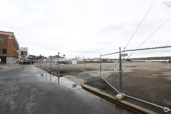


Property Detail
2 King St
Washington-Arlington-Alexandria, DC-VA-MD-WV
SE CORNER KING & STRAND
075.01-05-04
ALEXANDRIA
Vacantlandnec
Virginia
WPR
4
AE The base floodplain where base flood elevations are provided. AE Zones are now used on new format FIRMs instead of A1-A30 Zones.
0.43 AC
0
Old Town Alexandria
2025
Washington, DC
201601
NEARBY LISTINGS FOR SALE OR LEASE
DEMOGRAPHICS near 2 King St
1 mile
3 mile
5 mile
2025 Total Population
20,209
149,017
439,919
2030 Population
20,819
153,964
454,620
Pop Growth 2025-2030
+ 3.02%
+ 3.32%
+ 3.34%
Average Age
44
40
39
2025 Total Households
10,921
67,350
194,391
HH Growth 2025-2030
+ 3.14%
+ 3.61%
+ 3.60%
Median Household Inc
$157,223
$115,268
$104,743
Avg Household Size
1.80
2.10
2.20
2025 Avg HH Vehicles
1.00
1.00
1.00
Median Home Value
$976,593
$725,702
$603,483
Median Year Built
1971
1972
1973
Nearby Places
Map Layers
Map Styles
 Street
 Aerial
Layers
 Traffic
 Biking
Places
Listings with unknown addresses are not visible on the map
- Restaurants
- Banks
- Shops
- Fitness
- Groceries
PUBLIC TRANSPORTATION
COMMUTER RAIL
1 (Fredericksburg Line - Virginia Railway Express, Manassas Line - Virginia Railway Express)
Drive
Walk
Distance
1 (Fredericksburg Line - Virginia Railway Express, Manassas Line - Virginia Railway Express)
4 min
1.6 mi
Alexandria (Fredericksburg Line - Virginia Railway Express, Manassas Line - Virginia Railway Express)
Drive
Walk
Distance
Alexandria (Fredericksburg Line - Virginia Railway Express, Manassas Line - Virginia Railway Express)
4 min
1.6 mi
AIRPORT
Ronald Reagan Washington Ntl
Drive
Walk
Distance
Ronald Reagan Washington Ntl
13 min
4.9 mi
Washington Dulles International
Drive
Walk
Distance
Washington Dulles International
53 min
34.1 mi
Freight Ports
Port of Baltimore
Drive
Walk
Distance
Port of Baltimore
71 min
46.4 mi
Nearby Properties
Address
Land Use
TOTAL SIZE
Lot Size
Zoning
Address
Land Use
TOTAL SIZE
Lot Size
Zoning
1,241,298 SF
11.53 AC
RTOLE
Address
Land Use
TOTAL SIZE
Lot Size
Zoning
2,308,874 SF
22.78 AC
RR
Address
Land Use
TOTAL SIZE
Lot Size
Zoning
1,719,751 SF
39.48 AC
PDR-3;UNZO
Address
Land Use
TOTAL SIZE
Lot Size
Zoning
989,384 SF
5.17 AC
CDD#2
Address
Land Use
TOTAL SIZE
Lot Size
Zoning
1,931,127 SF
11.53 AC
RTOLE
Address
Land Use
TOTAL SIZE
Lot Size
Zoning
1,278,930 SF
28.17 AC
350
Address
Land Use
TOTAL SIZE
Lot Size
Zoning
35.71 AC
P-S/RA8-18
Address
Land Use
TOTAL SIZE
Lot Size
Zoning
360,007 SF
35.80 AC
UT
Address
Land Use
TOTAL SIZE
Lot Size
Zoning
336,904 SF
2.12 AC
CDD#15
Address
Land Use
TOTAL SIZE
Lot Size
Zoning
1,032,882 SF
CDD#20
Address
Land Use
TOTAL SIZE
Lot Size
Zoning
16,782 SF
1.67 AC
C-O-1.5
Address
Land Use
TOTAL SIZE
Lot Size
Zoning
608,495 SF
1.50 AC
CDD#2
Address
Land Use
TOTAL SIZE
Lot Size
Zoning
2 SF
2.03 AC
C-O-1.5
Address
Land Use
TOTAL SIZE
Lot Size
Zoning
1,178,900 SF
4.67 AC
CDD#1
Address
Land Use
TOTAL SIZE
Lot Size
Zoning
514,822 SF
44.64 AC
Address
Land Use
TOTAL SIZE
Lot Size
Zoning
559,357 SF
2.26 AC
CDD#2
Address
Land Use
TOTAL SIZE
Lot Size
Zoning
4,143 SF
1.89 AC
C-O-1.5
Address
Land Use
TOTAL SIZE
Lot Size
Zoning
499,532 SF
3.04 AC
Address
Land Use
TOTAL SIZE
Lot Size
Zoning
694,318 SF
12.83 AC
CDD#7
Address
Land Use
TOTAL SIZE
Lot Size
Zoning
445,727 SF
12.82 AC
RC
Address
Land Use
TOTAL SIZE
Lot Size
Zoning
427,898 SF
1.88 AC
CDD#10
Address
Land Use
TOTAL SIZE
Lot Size
Zoning
166,800 SF
2.72 AC
CDD#1
Address
Land Use
TOTAL SIZE
Lot Size
Zoning
315,876 SF
1.55 AC
OCH
Address
Land Use
TOTAL SIZE
Lot Size
Zoning
7.04 AC
CDD#3
Address
Land Use
TOTAL SIZE
Lot Size
Zoning
5,015 SF
1.34 AC
C-O-1.5
Address
Land Use
TOTAL SIZE
Lot Size
Zoning
455,148 SF
6.60 AC
340
Address
Land Use
TOTAL SIZE
Lot Size
Zoning
608,362 SF
19.89 AC
R 20
Address
Land Use
TOTAL SIZE
Lot Size
Zoning
288,675 SF
2 AC
RM
Address
Land Use
TOTAL SIZE
Lot Size
Zoning
556,384 SF
2.59 AC
CRMU/H
Address
Land Use
TOTAL SIZE
Lot Size
Zoning
1,000,000 SF
84 AC
UNZONED
The World's #1 Commercial Real Estate Marketplace
Connect with us
© 2026 CoStar Group
The information above has been obtained from sources believed reliable. While we do not doubt its accuracy we have not verified it and make no guarantee, warranty or representation about it. It is your responsibility to independently confirm its accuracy and completeness. Any projections, opinions, assumptions, or estimates used are for example only and do not represent the current or future performance of the property. The value of this transaction to you depends on tax and other factors which should be evaluated by your tax, financial, and legal advisors. You and your advisors should conduct a careful, independent investigation of the property to determine to your satisfaction the suitability of the property for your needs.