Property Record
20 Fort Hill Rd, Standish, ME 04084
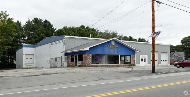


Property Detail
20 Fort Hill Rd
STAN-000040-000000-000033
Cumberland
Commercialnec
Maine
VC
33
B and X Area of moderate flood hazard, usually the area between the limits of the 100-year and 500-year floods.
2 AC
2025
SW Cumberland County
2025
Portland/South Portland
017002
Portland-South Portland, ME
NEARBY LISTINGS FOR SALE OR LEASE
-
-
View all Standish listings for sale on LoopNet.com
DEMOGRAPHICS near 20 Fort Hill Rd
1 mile
3 mile
5 mile
2025 Total Population
690
4,255
12,759
2030 Population
719
4,373
13,087
Pop Growth 2025-2030
+ 4.20%
+ 2.77%
+ 2.57%
Average Age
44
42
42
2025 Total Households
279
1,643
4,856
HH Growth 2025-2030
+ 4.30%
+ 2.86%
+ 2.68%
Median Household Inc
$120,731
$108,083
$107,686
Avg Household Size
2.40
2.60
2.60
2025 Avg HH Vehicles
3.00
2.00
2.00
Median Home Value
$418,182
$410,558
$402,008
Median Year Built
1983
1980
1983
Nearby Places
Map Layers
Map Styles
 Street
 Aerial
Layers
 Traffic
 Biking
Places
Listings with unknown addresses are not visible on the map
- Restaurants
- Banks
- Shops
- Fitness
- Groceries
PUBLIC TRANSPORTATION
AIRPORT
Portland International Jetport
Drive
Walk
Distance
Portland International Jetport
31 min
16.1 mi
Freight Ports
Portland, ME
Drive
Walk
Distance
Portland, ME
34 min
19.3 mi
Nearby Properties
Address
Land Use
TOTAL SIZE
Lot Size
Zoning
Address
Land Use
TOTAL SIZE
Lot Size
Zoning
26 AC
R/WATE
Address
Land Use
TOTAL SIZE
Lot Size
Zoning
605 AC
R/RR
Address
Land Use
TOTAL SIZE
Lot Size
Zoning
2.20 AC
39
Address
Land Use
TOTAL SIZE
Lot Size
Zoning
Address
Land Use
TOTAL SIZE
Lot Size
Zoning
Address
Land Use
TOTAL SIZE
Lot Size
Zoning
36,041 SF
17.23 AC
SCD
Address
Land Use
TOTAL SIZE
Lot Size
Zoning
20,971 SF
11 AC
SCD
Address
Land Use
TOTAL SIZE
Lot Size
Zoning
44,532 SF
VC
Address
Land Use
TOTAL SIZE
Lot Size
Zoning
40,038 SF
23 AC
VC
Address
Land Use
TOTAL SIZE
Lot Size
Zoning
134,266 SF
17.02 AC
I
Address
Land Use
TOTAL SIZE
Lot Size
Zoning
11.46 AC
Address
Land Use
TOTAL SIZE
Lot Size
Zoning
36,270 SF
142 AC
RR
Address
Land Use
TOTAL SIZE
Lot Size
Zoning
6 AC
SCD
Address
Land Use
TOTAL SIZE
Lot Size
Zoning
77 AC
R
Address
Land Use
TOTAL SIZE
Lot Size
Zoning
32 AC
I
Address
Land Use
TOTAL SIZE
Lot Size
Zoning
26,020 SF
17 AC
SCD
Address
Land Use
TOTAL SIZE
Lot Size
Zoning
5,872 SF
2.61 AC
SCD
Address
Land Use
TOTAL SIZE
Lot Size
Zoning
3,620 SF
1.61 AC
SCD
Address
Land Use
TOTAL SIZE
Lot Size
Zoning
12.72 AC
Address
Land Use
TOTAL SIZE
Lot Size
Zoning
11,520 SF
12.40 AC
SR
Address
Land Use
TOTAL SIZE
Lot Size
Zoning
2.10 AC
RC
Address
Land Use
TOTAL SIZE
Lot Size
Zoning
5,794 SF
2.76 AC
SCD
Address
Land Use
TOTAL SIZE
Lot Size
Zoning
9,480 SF
10 AC
SCD
Address
Land Use
TOTAL SIZE
Lot Size
Zoning
2,850 SF
353 AC
RR
Address
Land Use
TOTAL SIZE
Lot Size
Zoning
6,840 SF
2.09 AC
SCD
Address
Land Use
TOTAL SIZE
Lot Size
Zoning
8,320 SF
0.93 AC
SCD
Address
Land Use
TOTAL SIZE
Lot Size
Zoning
66.98 AC
R
Address
Land Use
TOTAL SIZE
Lot Size
Zoning
17.26 AC
R
Address
Land Use
TOTAL SIZE
Lot Size
Zoning
23 AC
RR
Address
Land Use
TOTAL SIZE
Lot Size
Zoning
4,085 SF
2.26 AC
SR
The World's #1 Commercial Real Estate Marketplace
Connect with us
© 2026 CoStar Group
The information above has been obtained from sources believed reliable. While we do not doubt its accuracy we have not verified it and make no guarantee, warranty or representation about it. It is your responsibility to independently confirm its accuracy and completeness. Any projections, opinions, assumptions, or estimates used are for example only and do not represent the current or future performance of the property. The value of this transaction to you depends on tax and other factors which should be evaluated by your tax, financial, and legal advisors. You and your advisors should conduct a careful, independent investigation of the property to determine to your satisfaction the suitability of the property for your needs.