Property Record
20 Twentythird Ave S, Berkeley, NJ 08752
Save to a Folder
{{folder.Name}}
{{folder.ListingIds.length}} Properties
{{folder.ListingIds.length}} Property
Create a New Folder
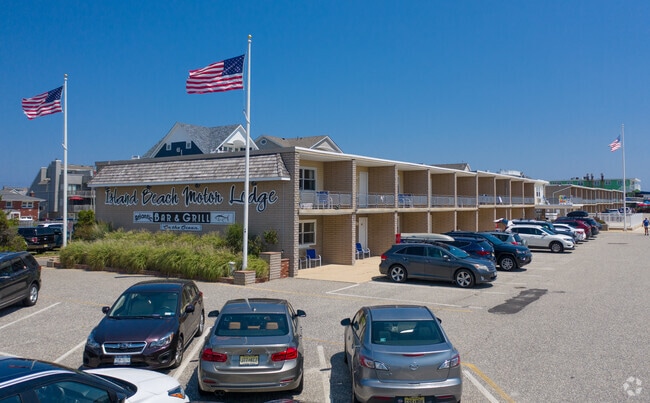
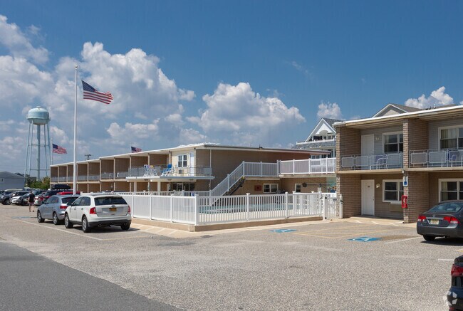
Property Detail
20 Twentythird Ave S
Lakewood-New Brunswick, NJ
305XIRR
06-01720-0000-00004
OCEAN
Vacantlandnec
New Jersey
BC
4
VE and V1-30 Coastal areas with a 1% or greater chance of flooding and an additional hazard associated with storm waves. These areas have a 26% chance of flooding over the life of a 30-year mortgage.
0.47 AC
2025
North Shore
2026
Northern New Jersey
728002
NEARBY LISTINGS FOR SALE OR LEASE
DEMOGRAPHICS near 20 Twentythird Ave S
1 mile
3 mile
5 mile
2025 Total Population
2,878
13,428
54,826
2030 Population
3,367
15,185
59,126
Pop Growth 2025-2030
+ 16.99%
+ 13.08%
+ 7.84%
Average Age
56
46
44
2025 Total Households
1,518
6,374
23,083
HH Growth 2025-2030
+ 16.73%
+ 13.01%
+ 8.16%
Median Household Inc
$76,016
$73,354
$90,605
Avg Household Size
1.90
2.00
2.30
2025 Avg HH Vehicles
1.00
2.00
2.00
Median Home Value
$742,713
$650,642
$504,905
Median Year Built
1959
1966
1975
Nearby Places
Map Layers
Map Styles
 Street
 Aerial
Layers
 Traffic
 Biking
Places
Listings with unknown addresses are not visible on the map
- Restaurants
- Banks
- Shops
- Fitness
- Groceries
Nearby Properties
Address
Land Use
TOTAL SIZE
Lot Size
Zoning
Address
Land Use
TOTAL SIZE
Lot Size
Zoning
1.27 AC
P
Address
Land Use
TOTAL SIZE
Lot Size
Zoning
744 SF
0.69 AC
RB
Address
Land Use
TOTAL SIZE
Lot Size
Zoning
2,636 SF
2.90 AC
RRA
Address
Land Use
TOTAL SIZE
Lot Size
Zoning
12,520 SF
1.81 AC
RB
Address
Land Use
TOTAL SIZE
Lot Size
Zoning
Address
Land Use
TOTAL SIZE
Lot Size
Zoning
3,926 SF
0.52 AC
RR
Address
Land Use
TOTAL SIZE
Lot Size
Zoning
44,768 SF
0.62 AC
RRA
Address
Land Use
TOTAL SIZE
Lot Size
Zoning
12,494 SF
2.50 AC
RR
Address
Land Use
TOTAL SIZE
Lot Size
Zoning
1.19 AC
RB
Address
Land Use
TOTAL SIZE
Lot Size
Zoning
0.97 AC
RB
Address
Land Use
TOTAL SIZE
Lot Size
Zoning
12.70 AC
PUB
Address
Land Use
TOTAL SIZE
Lot Size
Zoning
0.82 AC
RB
Address
Land Use
TOTAL SIZE
Lot Size
Zoning
1.30 AC
RR
Address
Land Use
TOTAL SIZE
Lot Size
Zoning
920 SF
0.75 AC
RR
Address
Land Use
TOTAL SIZE
Lot Size
Zoning
20,271 SF
0.96 AC
PUB
Address
Land Use
TOTAL SIZE
Lot Size
Zoning
1.37 AC
RRS
Address
Land Use
TOTAL SIZE
Lot Size
Zoning
1.36 AC
PUB
Address
Land Use
TOTAL SIZE
Lot Size
Zoning
8.78 AC
P
Address
Land Use
TOTAL SIZE
Lot Size
Zoning
2.50 AC
RR
Address
Land Use
TOTAL SIZE
Lot Size
Zoning
8.19 AC
P
Address
Land Use
TOTAL SIZE
Lot Size
Zoning
12,008 SF
0.53 AC
RB
Address
Land Use
TOTAL SIZE
Lot Size
Zoning
22,968 SF
0.20 AC
RR
Address
Land Use
TOTAL SIZE
Lot Size
Zoning
2.04 AC
LDR
Address
Land Use
TOTAL SIZE
Lot Size
Zoning
12.01 AC
P
Address
Land Use
TOTAL SIZE
Lot Size
Zoning
9.30 AC
PUB
Address
Land Use
TOTAL SIZE
Lot Size
Zoning
30,400 SF
0.37 AC
RR
Address
Land Use
TOTAL SIZE
Lot Size
Zoning
23,044 SF
0.28 AC
RR
Address
Land Use
TOTAL SIZE
Lot Size
Zoning
12,960 SF
0.24 AC
RR
Address
Land Use
TOTAL SIZE
Lot Size
Zoning
15,264 SF
0.14 AC
RR
Address
Land Use
TOTAL SIZE
Lot Size
Zoning
17,757 SF
0.55 AC
R&RB
The World's #1 Commercial Real Estate Marketplace
Connect with us
© 2026 CoStar Group
The information above has been obtained from sources believed reliable. While we do not doubt its accuracy we have not verified it and make no guarantee, warranty or representation about it. It is your responsibility to independently confirm its accuracy and completeness. Any projections, opinions, assumptions, or estimates used are for example only and do not represent the current or future performance of the property. The value of this transaction to you depends on tax and other factors which should be evaluated by your tax, financial, and legal advisors. You and your advisors should conduct a careful, independent investigation of the property to determine to your satisfaction the suitability of the property for your needs.