Property Record
200 E 22Nd St, Norfolk, VA 23517
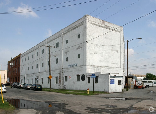

Property Detail
200 E 22Nd St
45185000
PARCEL 200, BLK 39, WILLIAMSTON & PT OF ARMISTEAD AV. VACATED
Apartment
Norfolk City
B and X Area of moderate flood hazard, usually the area between the limits of the 100-year and 500-year floods.
Virginia
2025
1.21 AC
2025
West Norfolk
003600
Hampton Roads
30,449 SF
Virginia Beach-Chesapeake-Norfolk, VA-NC
NEARBY LISTINGS FOR SALE OR LEASE
DEMOGRAPHICS near 200 E 22Nd St
1 mile
3 mile
5 mile
2025 Total Population
21,482
109,106
249,761
2030 Population
21,273
107,646
246,930
Pop Growth 2025-2030
(0.97%)
(1.34%)
(1.13%)
Average Age
37
37
37
2025 Total Households
9,715
45,138
100,599
HH Growth 2025-2030
(1.35%)
(1.50%)
(1.29%)
Median Household Inc
$54,259
$64,629
$61,120
Avg Household Size
2.10
2.20
2.30
2025 Avg HH Vehicles
1.00
2.00
2.00
Median Home Value
$357,536
$322,202
$281,735
Median Year Built
1964
1961
1963
Nearby Places
Map Layers
Map Styles
 Street
 Aerial
Transit
 Traffic
 Biking
Places
Listings with unknown addresses are not visible on the map
- Restaurants
- Banks
- Shops
- Fitness
- Groceries
PUBLIC TRANSPORTATION
AIRPORT
Norfolk International
Drive
Walk
Distance
Norfolk International
15 min
5.7 mi
Newport News/Williamsburg International
Drive
Walk
Distance
Newport News/Williamsburg International
31 min
28.1 mi
Nearby Properties
Address
Land Use
TOTAL SIZE
Lot Size
Zoning
Address
Land Use
TOTAL SIZE
Lot Size
Zoning
331,760 SF
24.97 AC
Address
Land Use
TOTAL SIZE
Lot Size
Zoning
5,704 SF
4.67 AC
D2
Address
Land Use
TOTAL SIZE
Lot Size
Zoning
85,756 SF
3.59 AC
D5
Address
Land Use
TOTAL SIZE
Lot Size
Zoning
421,540 SF
2.37 AC
Address
Land Use
TOTAL SIZE
Lot Size
Zoning
192,422 SF
10.70 AC
D4
Address
Land Use
TOTAL SIZE
Lot Size
Zoning
250,766 SF
31.14 AC
NMU
Address
Land Use
TOTAL SIZE
Lot Size
Zoning
390,960 SF
4.43 AC
Address
Land Use
TOTAL SIZE
Lot Size
Zoning
390,960 SF
4.43 AC
Address
Land Use
TOTAL SIZE
Lot Size
Zoning
73,136 SF
5.34 AC
IN2
Address
Land Use
TOTAL SIZE
Lot Size
Zoning
55.11 AC
IN2
Address
Land Use
TOTAL SIZE
Lot Size
Zoning
92.17 AC
OSP
Address
Land Use
TOTAL SIZE
Lot Size
Zoning
421,856 SF
2.64 AC
D1
Address
Land Use
TOTAL SIZE
Lot Size
Zoning
971,654 SF
6.01 AC
D2
Address
Land Use
TOTAL SIZE
Lot Size
Zoning
310,912 SF
3.94 AC
Address
Land Use
TOTAL SIZE
Lot Size
Zoning
473,072 SF
9.72 AC
SD
Address
Land Use
TOTAL SIZE
Lot Size
Zoning
68,643 SF
24.68 AC
Address
Land Use
TOTAL SIZE
Lot Size
Zoning
192,270 SF
1.99 AC
D2
Address
Land Use
TOTAL SIZE
Lot Size
Zoning
126,088 SF
4.91 AC
C2
Address
Land Use
TOTAL SIZE
Lot Size
Zoning
363,974 SF
1.49 AC
Address
Land Use
TOTAL SIZE
Lot Size
Zoning
66,718 SF
4.09 AC
D5
Address
Land Use
TOTAL SIZE
Lot Size
Zoning
4.92 AC
IN1
Address
Land Use
TOTAL SIZE
Lot Size
Zoning
356,598 SF
1.84 AC
D2
Address
Land Use
TOTAL SIZE
Lot Size
Zoning
50,384 SF
0.74 AC
Address
Land Use
TOTAL SIZE
Lot Size
Zoning
291,748 SF
3.40 AC
G1
Address
Land Use
TOTAL SIZE
Lot Size
Zoning
91,982 SF
22.78 AC
IN1
Address
Land Use
TOTAL SIZE
Lot Size
Zoning
79,577 SF
3.04 AC
C2
Address
Land Use
TOTAL SIZE
Lot Size
Zoning
35,091 SF
0.71 AC
Address
Land Use
TOTAL SIZE
Lot Size
Zoning
197,074 SF
6.69 AC
Address
Land Use
TOTAL SIZE
Lot Size
Zoning
640,920 SF
3.67 AC
HCEF
Address
Land Use
TOTAL SIZE
Lot Size
Zoning
188,152 SF
16.93 AC
The World's #1 Commercial Real Estate Marketplace
Connect with us
© 2026 CoStar Group
The information above has been obtained from sources believed reliable. While we do not doubt its accuracy we have not verified it and make no guarantee, warranty or representation about it. It is your responsibility to independently confirm its accuracy and completeness. Any projections, opinions, assumptions, or estimates used are for example only and do not represent the current or future performance of the property. The value of this transaction to you depends on tax and other factors which should be evaluated by your tax, financial, and legal advisors. You and your advisors should conduct a careful, independent investigation of the property to determine to your satisfaction the suitability of the property for your needs.