Property Record
200 Pine Valley Rd, Saint Cloud, FL 34769
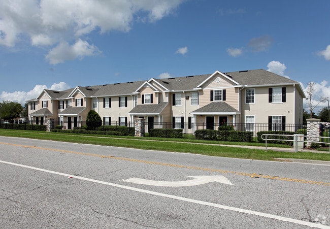


Property Detail
200 Pine Valley Rd
Orlando-Kissimmee-Sanford, FL
COM AT NE COR, W 20 FT TO W R/W OF BROWN CHAPEL RD S 580 FT TO POB; W 604.10 FT, S 568.38 FT, W 141.59 FT, S 500 FT, E 369.50 FT, N 330 FT, E 329.73 FT, N 740.87 FT TO POB LESS R/W COMMERCE CENTER DR AND LESS RD R/W BROWN CHAPEL RD ORD #2011-13 AND B
04-26-30-00U0-0041-0000
Osceola
Multifamilydwelling
Florida
B and X Area of moderate flood hazard, usually the area between the limits of the 100-year and 500-year floods.
41
2024
12.64 AC
2025
Lake Toho
043400
Orlando
208,677 SF
NEARBY LISTINGS FOR SALE OR LEASE
-
-
View all Saint Cloud listings for sale on LoopNet.com
DEMOGRAPHICS near 200 Pine Valley Rd
1 mile
3 mile
5 mile
2025 Total Population
8,950
53,568
115,173
2030 Population
10,405
62,735
134,906
Pop Growth 2025-2030
+ 16.26%
+ 17.11%
+ 17.13%
Average Age
41
39
39
2025 Total Households
3,393
18,904
39,046
HH Growth 2025-2030
+ 16.86%
+ 17.67%
+ 17.72%
Median Household Inc
$66,257
$75,362
$80,919
Avg Household Size
2.60
2.80
2.90
2025 Avg HH Vehicles
2.00
2.00
2.00
Median Home Value
$289,120
$363,968
$381,695
Median Year Built
1999
2001
2003
Nearby Places
Map Layers
Map Styles
 Street
 Aerial
Layers
 Traffic
 Biking
Places
Listings with unknown addresses are not visible on the map
- Restaurants
- Banks
- Shops
- Fitness
- Groceries
PUBLIC TRANSPORTATION
COMMUTER RAIL
Kissimmee Amtrak Station (Silver Meteor - Amtrak, Silver Star - Amtrak, SunRail - Amtrak)
Drive
Walk
Distance
Kissimmee Amtrak Station (Silver Meteor - Amtrak, Silver Star - Amtrak, SunRail - Amtrak)
15 min
7.2 mi
Tupperware (SunRail - Florida Department of Transportation)
Drive
Walk
Distance
Tupperware (SunRail - Florida Department of Transportation)
16 min
9.3 mi
AIRPORT
Orlando International
Drive
Walk
Distance
Orlando International
29 min
16.7 mi
Freight Ports
Port Canaveral
Drive
Walk
Distance
Port Canaveral
77 min
58.4 mi
Nearby Properties
Address
Land Use
TOTAL SIZE
Lot Size
Zoning
Address
Land Use
TOTAL SIZE
Lot Size
Zoning
457,374 SF
30.93 AC
OCT
Address
Land Use
TOTAL SIZE
Lot Size
Zoning
343,107 SF
16.26 AC
OEC
Address
Land Use
TOTAL SIZE
Lot Size
Zoning
270,959 SF
10.84 AC
SPUD
Address
Land Use
TOTAL SIZE
Lot Size
Zoning
275,507 SF
22.19 AC
RM-2
Address
Land Use
TOTAL SIZE
Lot Size
Zoning
437,037 SF
34.76 AC
OPUD
Address
Land Use
TOTAL SIZE
Lot Size
Zoning
188,719 SF
10.81 AC
Address
Land Use
TOTAL SIZE
Lot Size
Zoning
203,711 SF
10.27 AC
Address
Land Use
TOTAL SIZE
Lot Size
Zoning
187,302 SF
20.85 AC
Address
Land Use
TOTAL SIZE
Lot Size
Zoning
313,120 SF
54.86 AC
SP
Address
Land Use
TOTAL SIZE
Lot Size
Zoning
118,121 SF
237.16 AC
SP
Address
Land Use
TOTAL SIZE
Lot Size
Zoning
198,144 SF
12.18 AC
SR4
Address
Land Use
TOTAL SIZE
Lot Size
Zoning
185,953 SF
63.41 AC
SP
Address
Land Use
TOTAL SIZE
Lot Size
Zoning
227,369 SF
18.57 AC
ORM3
Address
Land Use
TOTAL SIZE
Lot Size
Zoning
82,614 SF
9.89 AC
SHB
Address
Land Use
TOTAL SIZE
Lot Size
Zoning
188,778 SF
15.62 AC
SR4
Address
Land Use
TOTAL SIZE
Lot Size
Zoning
106,078 SF
15.04 AC
SP
Address
Land Use
TOTAL SIZE
Lot Size
Zoning
63,524 SF
10.88 AC
OCR
Address
Land Use
TOTAL SIZE
Lot Size
Zoning
50,025 SF
4.45 AC
SP
Address
Land Use
TOTAL SIZE
Lot Size
Zoning
79,854 SF
8.89 AC
SHB
Address
Land Use
TOTAL SIZE
Lot Size
Zoning
66,171 SF
8.42 AC
OCR
Address
Land Use
TOTAL SIZE
Lot Size
Zoning
136,124 SF
14.46 AC
SAC
Address
Land Use
TOTAL SIZE
Lot Size
Zoning
137,208 SF
37.64 AC
OAC
Address
Land Use
TOTAL SIZE
Lot Size
Zoning
122,514 SF
22.15 AC
OAC
Address
Land Use
TOTAL SIZE
Lot Size
Zoning
187,534 SF
19.79 AC
Address
Land Use
TOTAL SIZE
Lot Size
Zoning
53,134 SF
6.09 AC
OPD
Address
Land Use
TOTAL SIZE
Lot Size
Zoning
69,000 SF
26.74 AC
OCR
Address
Land Use
TOTAL SIZE
Lot Size
Zoning
89,210 SF
10.94 AC
OCR
Address
Land Use
TOTAL SIZE
Lot Size
Zoning
60,772 SF
6.42 AC
SP
Address
Land Use
TOTAL SIZE
Lot Size
Zoning
84,902 SF
11.12 AC
SPUD
The World's #1 Commercial Real Estate Marketplace
Connect with us
© 2026 CoStar Group
The information above has been obtained from sources believed reliable. While we do not doubt its accuracy we have not verified it and make no guarantee, warranty or representation about it. It is your responsibility to independently confirm its accuracy and completeness. Any projections, opinions, assumptions, or estimates used are for example only and do not represent the current or future performance of the property. The value of this transaction to you depends on tax and other factors which should be evaluated by your tax, financial, and legal advisors. You and your advisors should conduct a careful, independent investigation of the property to determine to your satisfaction the suitability of the property for your needs.