Property Record
200 S Powell St, Oak Grove, MO 64075
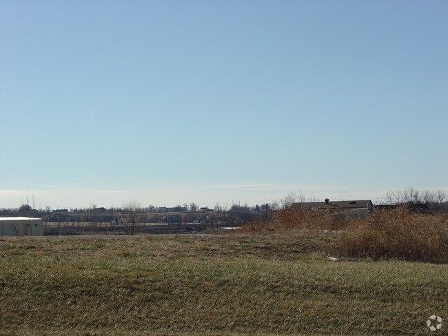

Property Detail
200 S Powell St
Kansas City, MO-KS
KEY INDUSTRIAL PARK 2ND PLAT---LOT 12
38-800-02-22-00-0-00-000
Jackson
Miscellaneous
Missouri
B and X Area of moderate flood hazard, usually the area between the limits of the 100-year and 500-year floods.
12
2024
1.36 AC
2025
East Jackson County
014004
Kansas City
18,000 SF
NEARBY LISTINGS FOR SALE OR LEASE
DEMOGRAPHICS near 200 S Powell St
1 mile
3 mile
5 mile
2025 Total Population
2,346
11,729
31,965
2030 Population
2,433
11,965
32,550
Pop Growth 2025-2030
+ 3.71%
+ 2.01%
+ 1.83%
Average Age
39
39
38
2025 Total Households
864
4,377
11,578
HH Growth 2025-2030
+ 3.59%
+ 2.01%
+ 1.82%
Median Household Inc
$98,449
$81,410
$87,623
Avg Household Size
2.70
2.60
2.70
2025 Avg HH Vehicles
3.00
2.00
2.00
Median Home Value
$311,961
$252,757
$282,955
Median Year Built
2001
1989
1997
Nearby Places
Map Layers
Map Styles
 Street
 Aerial
Layers
 Traffic
 Biking
Places
Listings with unknown addresses are not visible on the map
- Restaurants
- Banks
- Shops
- Fitness
- Groceries
PUBLIC TRANSPORTATION
AIRPORT
Kansas City International
Drive
Walk
Distance
Kansas City International
62 min
47.5 mi
Nearby Properties
Address
Land Use
TOTAL SIZE
Lot Size
Zoning
Address
Land Use
TOTAL SIZE
Lot Size
Zoning
83,793 SF
8.22 AC
Address
Land Use
TOTAL SIZE
Lot Size
Zoning
346,714 SF
47.22 AC
Address
Land Use
TOTAL SIZE
Lot Size
Zoning
108,300 SF
14.31 AC
Address
Land Use
TOTAL SIZE
Lot Size
Zoning
48,032 SF
9.85 AC
Address
Land Use
TOTAL SIZE
Lot Size
Zoning
59,584 SF
4.44 AC
Address
Land Use
TOTAL SIZE
Lot Size
Zoning
24,691 SF
51.46 AC
Address
Land Use
TOTAL SIZE
Lot Size
Zoning
70,158 SF
4.74 AC
Address
Land Use
TOTAL SIZE
Lot Size
Zoning
1,154 SF
160 AC
Address
Land Use
TOTAL SIZE
Lot Size
Zoning
57,430 SF
Address
Land Use
TOTAL SIZE
Lot Size
Zoning
24,785 SF
15.19 AC
Address
Land Use
TOTAL SIZE
Lot Size
Zoning
28,325 SF
6 AC
Address
Land Use
TOTAL SIZE
Lot Size
Zoning
5,544 SF
Address
Land Use
TOTAL SIZE
Lot Size
Zoning
44,413 SF
8.11 AC
Address
Land Use
TOTAL SIZE
Lot Size
Zoning
16,509 SF
9.27 AC
Address
Land Use
TOTAL SIZE
Lot Size
Zoning
30,030 SF
0.40 AC
Address
Land Use
TOTAL SIZE
Lot Size
Zoning
50,078 SF
6.60 AC
Address
Land Use
TOTAL SIZE
Lot Size
Zoning
Address
Land Use
TOTAL SIZE
Lot Size
Zoning
27,213 SF
2.10 AC
Address
Land Use
TOTAL SIZE
Lot Size
Zoning
43,303 SF
12.29 AC
Address
Land Use
TOTAL SIZE
Lot Size
Zoning
Address
Land Use
TOTAL SIZE
Lot Size
Zoning
1,932 SF
1.01 AC
Address
Land Use
TOTAL SIZE
Lot Size
Zoning
4,480 SF
128.75 AC
Address
Land Use
TOTAL SIZE
Lot Size
Zoning
44,122 SF
11 AC
Address
Land Use
TOTAL SIZE
Lot Size
Zoning
32,480 SF
3.69 AC
Address
Land Use
TOTAL SIZE
Lot Size
Zoning
24,940 SF
12.44 AC
Address
Land Use
TOTAL SIZE
Lot Size
Zoning
14,322 SF
1.36 AC
Address
Land Use
TOTAL SIZE
Lot Size
Zoning
Address
Land Use
TOTAL SIZE
Lot Size
Zoning
7,833 SF
5.13 AC
Address
Land Use
TOTAL SIZE
Lot Size
Zoning
25,234 SF
1.50 AC
Address
Land Use
TOTAL SIZE
Lot Size
Zoning
12,193 SF
2.04 AC
The World's #1 Commercial Real Estate Marketplace
Connect with us
© 2026 CoStar Group
The information above has been obtained from sources believed reliable. While we do not doubt its accuracy we have not verified it and make no guarantee, warranty or representation about it. It is your responsibility to independently confirm its accuracy and completeness. Any projections, opinions, assumptions, or estimates used are for example only and do not represent the current or future performance of the property. The value of this transaction to you depends on tax and other factors which should be evaluated by your tax, financial, and legal advisors. You and your advisors should conduct a careful, independent investigation of the property to determine to your satisfaction the suitability of the property for your needs.