Property Record
200 Shepard Rd, Walsenburg, CO 81089
Save to a Folder
{{folder.Name}}
{{folder.ListingIds.length}} Properties
{{folder.ListingIds.length}} Property
Create a New Folder
Property Detail
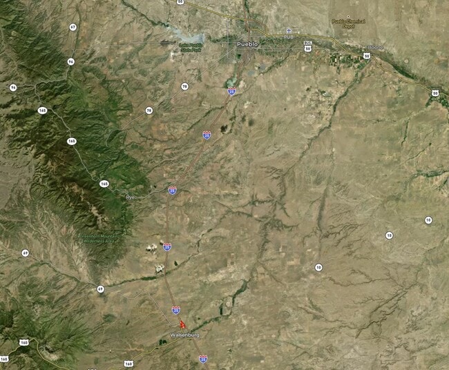
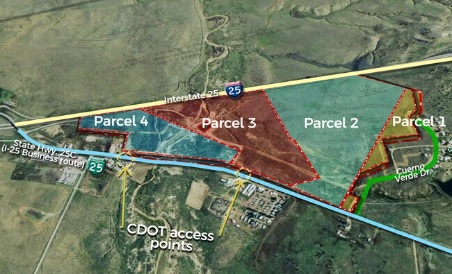
200 Shepard Rd
Other Market Areas
A TRACT OF LAND IN 4-28-66 N2NW4, AND IN 33-27-66 DES. AS FOLL: BEG AT A PT. ON THE E'LY ROW LINE OF HWY 85-87 FROM WHICH THE
60159
HUERFANO
Taxexempt
Colorado
2025
0.69 AC
2025
Colorado East Area
9609002380
NEARBY LISTINGS FOR SALE OR LEASE
DEMOGRAPHICS near 200 Shepard Rd
1 mile
3 mile
5 mile
2025 Total Population
90
3,373
3,503
2030 Population
91
3,416
3,548
Pop Growth 2025-2030
+ 1.11%
+ 1.27%
+ 1.28%
Average Age
44
45
45
2025 Total Households
39
1,521
1,584
HH Growth 2025-2030
+ 2.56%
+ 1.25%
+ 1.20%
Median Household Inc
$39,499
$48,347
$48,934
Avg Household Size
2.30
2.20
2.20
2025 Avg HH Vehicles
2.00
2.00
2.00
Median Home Value
$159,999
$155,153
$160,164
Median Year Built
1961
1955
1957
Nearby Places
Map Layers
Map Styles
 Street
 Aerial
Layers
 Traffic
 Biking
Places
Listings with unknown addresses are not visible on the map
- Restaurants
- Banks
- Shops
- Fitness
- Groceries
SALE & LEASE HISTORY
LISTING DATE
SALE/LEASE

Apr 26, 2021
For Sale
Nearby Properties
Address
Land Use
TOTAL SIZE
Lot Size
Zoning
Address
Land Use
TOTAL SIZE
Lot Size
Zoning
81.66 AC
Address
Land Use
TOTAL SIZE
Lot Size
Zoning
2.84 AC
Address
Land Use
TOTAL SIZE
Lot Size
Zoning
2.32 AC
Address
Land Use
TOTAL SIZE
Lot Size
Zoning
Address
Land Use
TOTAL SIZE
Lot Size
Zoning
4,354 SF
37.23 AC
Address
Land Use
TOTAL SIZE
Lot Size
Zoning
35.78 AC
Address
Land Use
TOTAL SIZE
Lot Size
Zoning
1,394 SF
3.86 AC
Address
Land Use
TOTAL SIZE
Lot Size
Zoning
28,487 SF
2.12 AC
Address
Land Use
TOTAL SIZE
Lot Size
Zoning
19,686 SF
2.49 AC
Address
Land Use
TOTAL SIZE
Lot Size
Zoning
19,920 SF
0.22 AC
Address
Land Use
TOTAL SIZE
Lot Size
Zoning
23,274 SF
1.65 AC
Address
Land Use
TOTAL SIZE
Lot Size
Zoning
7,725 SF
7.77 AC
Address
Land Use
TOTAL SIZE
Lot Size
Zoning
7.67 AC
Address
Land Use
TOTAL SIZE
Lot Size
Zoning
6,009 SF
1.61 AC
Address
Land Use
TOTAL SIZE
Lot Size
Zoning
28,858 SF
1.18 AC
Address
Land Use
TOTAL SIZE
Lot Size
Zoning
7,200 SF
0.78 AC
Address
Land Use
TOTAL SIZE
Lot Size
Zoning
30,039 SF
63,616 AC
Address
Land Use
TOTAL SIZE
Lot Size
Zoning
9,159 SF
0.31 AC
Address
Land Use
TOTAL SIZE
Lot Size
Zoning
58,225 SF
8.05 AC
Address
Land Use
TOTAL SIZE
Lot Size
Zoning
3,174 SF
0.96 AC
Address
Land Use
TOTAL SIZE
Lot Size
Zoning
3,960 SF
35.02 AC
Address
Land Use
TOTAL SIZE
Lot Size
Zoning
1.09 AC
Address
Land Use
TOTAL SIZE
Lot Size
Zoning
2,442 SF
0.78 AC
Address
Land Use
TOTAL SIZE
Lot Size
Zoning
10,540 SF
1.17 AC
Address
Land Use
TOTAL SIZE
Lot Size
Zoning
5,320 SF
0.12 AC
Address
Land Use
TOTAL SIZE
Lot Size
Zoning
3,222 SF
0.39 AC
Address
Land Use
TOTAL SIZE
Lot Size
Zoning
5,414 SF
0.41 AC
Address
Land Use
TOTAL SIZE
Lot Size
Zoning
8,396 SF
0.42 AC
Address
Land Use
TOTAL SIZE
Lot Size
Zoning
20,484 SF
0.25 AC
The World's #1 Commercial Real Estate Marketplace
Connect with us
© 2026 CoStar Group
The information above has been obtained from sources believed reliable. While we do not doubt its accuracy we have not verified it and make no guarantee, warranty or representation about it. It is your responsibility to independently confirm its accuracy and completeness. Any projections, opinions, assumptions, or estimates used are for example only and do not represent the current or future performance of the property. The value of this transaction to you depends on tax and other factors which should be evaluated by your tax, financial, and legal advisors. You and your advisors should conduct a careful, independent investigation of the property to determine to your satisfaction the suitability of the property for your needs.