Property Record
20002 Franz Rd, Katy, TX 77449


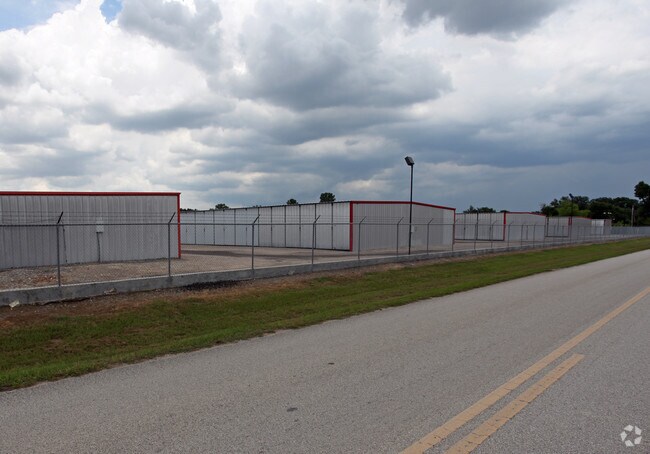
Property Detail
20002 Franz Rd
0431030000085
TRS E & F ABST 437 H&TCRR SEC 41 BLK 2
Shipyard
HARRIS
AE The base floodplain where base flood elevations are provided. AE Zones are now used on new format FIRMs instead of A1-A30 Zones.
Texas
2024
6.45 AC
2025
Katy/Grand Parkway West
542202
Houston
105,600 SF
Houston-Pasadena-The Woodlands, TX
NEARBY LISTINGS FOR SALE OR LEASE
DEMOGRAPHICS near 20002 Franz Rd
1 mile
3 mile
5 mile
2025 Total Population
19,580
140,910
314,922
2030 Population
20,675
150,063
338,347
Pop Growth 2025-2030
+ 5.59%
+ 6.50%
+ 7.44%
Average Age
37
37
36
2025 Total Households
6,433
46,853
103,204
HH Growth 2025-2030
+ 5.70%
+ 6.71%
+ 7.66%
Median Household Inc
$76,118
$84,289
$91,318
Avg Household Size
3.00
3.00
3.00
2025 Avg HH Vehicles
2.00
2.00
2.00
Median Home Value
$240,480
$277,726
$296,713
Median Year Built
1995
1999
2003
Nearby Places
Map Layers
Map Styles
 Street
 Aerial
Layers
 Traffic
 Biking
Places
Listings with unknown addresses are not visible on the map
- Restaurants
- Banks
- Shops
- Fitness
- Groceries
PUBLIC TRANSPORTATION
AIRPORT
William P Hobby
Drive
Walk
Distance
William P Hobby
54 min
36.8 mi
George Bush Intcntl/Houston
Drive
Walk
Distance
George Bush Intcntl/Houston
49 min
38.1 mi
Freight Ports
Port of Houston
Drive
Walk
Distance
Port of Houston
48 min
33.6 mi
Nearby Properties
Address
Land Use
TOTAL SIZE
Lot Size
Zoning
Address
Land Use
TOTAL SIZE
Lot Size
Zoning
695,923 SF
6.63 AC
Address
Land Use
TOTAL SIZE
Lot Size
Zoning
807,360 SF
54.15 AC
Address
Land Use
TOTAL SIZE
Lot Size
Zoning
681,561 SF
7.98 AC
Address
Land Use
TOTAL SIZE
Lot Size
Zoning
614,847 SF
42 AC
Address
Land Use
TOTAL SIZE
Lot Size
Zoning
439,347 SF
13.50 AC
Address
Land Use
TOTAL SIZE
Lot Size
Zoning
380,278 SF
12.61 AC
Address
Land Use
TOTAL SIZE
Lot Size
Zoning
417,092 SF
17.58 AC
Address
Land Use
TOTAL SIZE
Lot Size
Zoning
891,129 SF
44.39 AC
Address
Land Use
TOTAL SIZE
Lot Size
Zoning
339,835 SF
12.09 AC
Address
Land Use
TOTAL SIZE
Lot Size
Zoning
375,486 SF
12.36 AC
Address
Land Use
TOTAL SIZE
Lot Size
Zoning
341,844 SF
16.71 AC
Address
Land Use
TOTAL SIZE
Lot Size
Zoning
343,605 SF
11.90 AC
Address
Land Use
TOTAL SIZE
Lot Size
Zoning
319,717 SF
10.45 AC
Address
Land Use
TOTAL SIZE
Lot Size
Zoning
319,341 SF
14.88 AC
Address
Land Use
TOTAL SIZE
Lot Size
Zoning
324,201 SF
12.39 AC
Address
Land Use
TOTAL SIZE
Lot Size
Zoning
290,973 SF
15 AC
Address
Land Use
TOTAL SIZE
Lot Size
Zoning
492,836 SF
30.20 AC
Address
Land Use
TOTAL SIZE
Lot Size
Zoning
347,834 SF
15.25 AC
Address
Land Use
TOTAL SIZE
Lot Size
Zoning
272,033 SF
12.74 AC
Address
Land Use
TOTAL SIZE
Lot Size
Zoning
278,684 SF
13 AC
Address
Land Use
TOTAL SIZE
Lot Size
Zoning
335,899 SF
12.62 AC
Address
Land Use
TOTAL SIZE
Lot Size
Zoning
395,495 SF
13.83 AC
Address
Land Use
TOTAL SIZE
Lot Size
Zoning
384,260 SF
18 AC
Address
Land Use
TOTAL SIZE
Lot Size
Zoning
276,470 SF
8.88 AC
Address
Land Use
TOTAL SIZE
Lot Size
Zoning
266,532 SF
6.45 AC
Address
Land Use
TOTAL SIZE
Lot Size
Zoning
235,837 SF
7.99 AC
Address
Land Use
TOTAL SIZE
Lot Size
Zoning
326,912 SF
13.78 AC
Address
Land Use
TOTAL SIZE
Lot Size
Zoning
284,321 SF
10.54 AC
Address
Land Use
TOTAL SIZE
Lot Size
Zoning
307,596 SF
9.62 AC
Address
Land Use
TOTAL SIZE
Lot Size
Zoning
214,347 SF
30.70 AC
The World's #1 Commercial Real Estate Marketplace
Connect with us
© 2026 CoStar Group
The information above has been obtained from sources believed reliable. While we do not doubt its accuracy we have not verified it and make no guarantee, warranty or representation about it. It is your responsibility to independently confirm its accuracy and completeness. Any projections, opinions, assumptions, or estimates used are for example only and do not represent the current or future performance of the property. The value of this transaction to you depends on tax and other factors which should be evaluated by your tax, financial, and legal advisors. You and your advisors should conduct a careful, independent investigation of the property to determine to your satisfaction the suitability of the property for your needs.