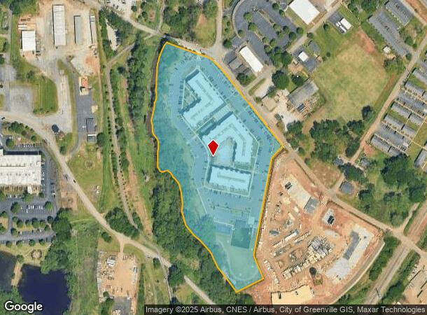
Property Record
2001 Tsali Cir, Greenville, SC 29601

NEARBY LISTINGS FOR SALE OR LEASE
Property Detail
2001 Tsali Cir
Greenville-Anderson-Mauldin, SC
MAP 0140.00; 5
0140.00-01-001.01
Greenville
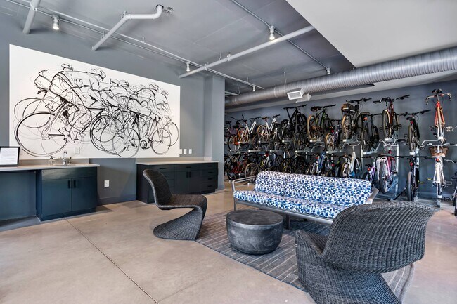
Apartment
South Carolina
AE
001.01
45045C0381E
8.29 AC
2025
Southernside
2024
Greenville/Spartanburg
000200
DEMOGRAPHICS near 2001 Tsali Cir
1 Mile
3 Mile
5 Mile
2024 Total Population
11,392
83,806
162,584
2029 Population
12,778
93,656
180,056
Pop Growth 2024-2029
+ 12.17%
+ 11.75%
+ 10.75%
Average Age
36
38
38
2024 Total Households
4,263
35,269
67,837
HH Growth 2024-2029
+ 12.15%
+ 12.03%
+ 11.00%
Median Household Inc
$32,967
$48,652
$52,271
Avg Household Size
2.60
2.20
2.30
2024 Avg HH Vehicles
2.00
2.00
2.00
Median Home Value
$123,566
$226,072
$243,471
Median Year Built
1974
1979
1978
Nearby Places
Map Layers
Map Styles
 Street
 Aerial
- Restaurants
- Banks
- Shops
- Fitness
- Groceries
PUBLIC TRANSPORTATION
COMMUTER RAIL
Greenville Amtrak Station (Crescent - Amtrak)
DRIVE
WALK
Distance
Greenville Amtrak Station (Crescent - Amtrak)
4 min
1.3 mi
AIRPORT
Greenville Spartanburg International
DRIVE
WALK
Distance
Greenville Spartanburg International
27 min
15.8 mi
Freight Ports
North Charleston Terminal
DRIVE
WALK
Distance
North Charleston Terminal
234 min
206.5 mi
Nearby Properties
Address
Land Use
TOTAL SIZE
Lot Size
Zoning
Address
Land Use
TOTAL SIZE
Lot Size
Zoning
22.97 AC
R12
Address
Land Use
TOTAL SIZE
Lot Size
Zoning
1.01 AC
C4
Address
Land Use
TOTAL SIZE
Lot Size
Zoning
0.39 AC
C4
Address
Land Use
TOTAL SIZE
Lot Size
Zoning
28.88 AC
RM
Address
Land Use
TOTAL SIZE
Lot Size
Zoning
28.72 AC
C3
Address
Land Use
TOTAL SIZE
Lot Size
Zoning
9.91 AC
C3
Address
Land Use
TOTAL SIZE
Lot Size
Zoning
6.21 AC
C3
Address
Land Use
TOTAL SIZE
Lot Size
Zoning
1.92 AC
C4
Address
Land Use
TOTAL SIZE
Lot Size
Zoning
20.04 AC
RM
Address
Land Use
TOTAL SIZE
Lot Size
Zoning
0.53 AC
C4
Address
Land Use
TOTAL SIZE
Lot Size
Zoning
1.62 AC
C3
Address
Land Use
TOTAL SIZE
Lot Size
Zoning
11.13 AC
OD
Address
Land Use
TOTAL SIZE
Lot Size
Zoning
1.19 AC
C4
Address
Land Use
TOTAL SIZE
Lot Size
Zoning
47.64 AC
R6
Address
Land Use
TOTAL SIZE
Lot Size
Zoning
0.02 AC
C4
Address
Land Use
TOTAL SIZE
Lot Size
Zoning
9.57 AC
C3
Address
Land Use
TOTAL SIZE
Lot Size
Zoning
2.08 AC
C4
Address
Land Use
TOTAL SIZE
Lot Size
Zoning
10.10 AC
RM
Address
Land Use
TOTAL SIZE
Lot Size
Zoning
4.18 AC
C2
Address
Land Use
TOTAL SIZE
Lot Size
Zoning
0.65 AC
Address
Land Use
TOTAL SIZE
Lot Size
Zoning
Address
Land Use
TOTAL SIZE
Lot Size
Zoning
2.62 AC
S1
Address
Land Use
TOTAL SIZE
Lot Size
Zoning
3 AC
C4
Address
Land Use
TOTAL SIZE
Lot Size
Zoning
5.07 AC
S1
Address
Land Use
TOTAL SIZE
Lot Size
Zoning
14.85 AC
S1
Address
Land Use
TOTAL SIZE
Lot Size
Zoning
954 SF
7.83 AC
S1
Address
Land Use
TOTAL SIZE
Lot Size
Zoning
2.71 AC
RM2
Address
Land Use
TOTAL SIZE
Lot Size
Zoning
2.69 AC
C4
Address
Land Use
TOTAL SIZE
Lot Size
Zoning
27.38 AC
R75
Address
Land Use
TOTAL SIZE
Lot Size
Zoning
29.53 AC
RM1
The World's #1 Commercial Real Estate Marketplace
Connect with us
© 2026 CoStar Group
The information above has been obtained from sources believed reliable. While we do not doubt its accuracy we have not verified it and make no guarantee, warranty or representation about it. It is your responsibility to independently confirm its accuracy and completeness. Any projections, opinions, assumptions, or estimates used are for example only and do not represent the current or future performance of the property. The value of this transaction to you depends on tax and other factors which should be evaluated by your tax, financial, and legal advisors. You and your advisors should conduct a careful, independent investigation of the property to determine to your satisfaction the suitability of the property for your needs.