Property Record
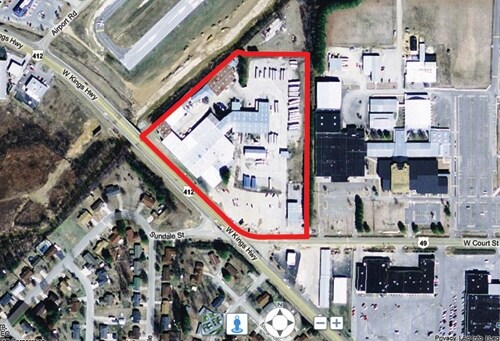
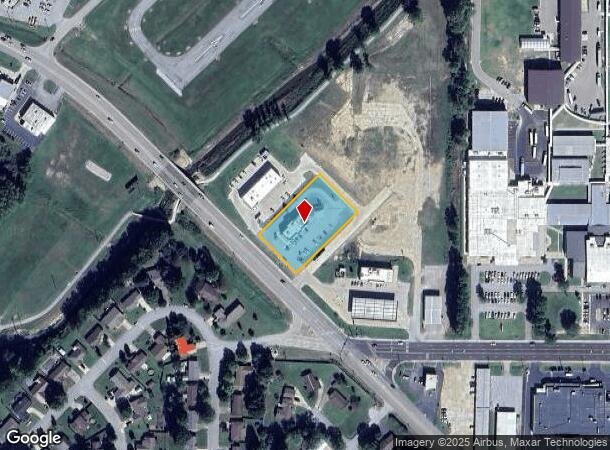
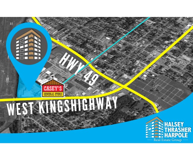
2001 W Kingshighway, Paragould, AR 72450
NEARBY LISTINGS FOR SALE OR LEASE
Property Detail
2001 W Kingshighway
1002-36320-012
PT NE SE OF SEC 35 TWP 17N RNG 5E & PT NW SW OF SEC 36 TWP 17N RNG 5E (46,750SF OR 1.07AC) AS DESCRIBED IN DEED 2025001887.
Restaurantdrivein
Greene
AE
Arkansas
05055C0345F
1.07 AC
2025
Arkansas North Area
2025
Other Market Areas
480402
Paragould, AR
3,609 SF
DEMOGRAPHICS near 2001 W Kingshighway
1 Mile
3 Mile
5 Mile
2024 Total Population
4,104
27,466
33,650
2029 Population
4,290
28,847
35,338
Pop Growth 2024-2029
+ 4.53%
+ 5.03%
+ 5.02%
Average Age
40
38
38
2024 Total Households
1,730
10,644
12,976
HH Growth 2024-2029
+ 4.51%
+ 5.11%
+ 5.10%
Median Household Inc
$62,060
$48,150
$49,568
Avg Household Size
2.30
2.50
2.50
2024 Avg HH Vehicles
2.00
2.00
2.00
Median Home Value
$161,936
$146,744
$151,201
Median Year Built
1979
1987
1988
Nearby Places
Map Layers
Map Styles
 Street
 Aerial
- Restaurants
- Banks
- Shops
- Fitness
- Groceries
SALE & LEASE HISTORY
LISTING DATE
SALE/LEASE

Sep 24, 2016
For Sale
Sep 24, 2016
For Sale
Jun 19, 2019
For Sale
Apr 06, 2017
For Sale
Nearby Properties
Address
Land Use
TOTAL SIZE
Lot Size
Zoning
Address
Land Use
TOTAL SIZE
Lot Size
Zoning
3,506 SF
15.68 AC
Address
Land Use
TOTAL SIZE
Lot Size
Zoning
63,070 SF
14.03 AC
Address
Land Use
TOTAL SIZE
Lot Size
Zoning
225,765 SF
63.30 AC
Address
Land Use
TOTAL SIZE
Lot Size
Zoning
126,604 SF
11.69 AC
Address
Land Use
TOTAL SIZE
Lot Size
Zoning
2,134 SF
18.67 AC
Address
Land Use
TOTAL SIZE
Lot Size
Zoning
181,782 SF
19.67 AC
Address
Land Use
TOTAL SIZE
Lot Size
Zoning
112,124 SF
12.49 AC
Address
Land Use
TOTAL SIZE
Lot Size
Zoning
94,163 SF
10.15 AC
Address
Land Use
TOTAL SIZE
Lot Size
Zoning
424,787 SF
48.45 AC
Address
Land Use
TOTAL SIZE
Lot Size
Zoning
408,667 SF
45.44 AC
Address
Land Use
TOTAL SIZE
Lot Size
Zoning
67,898 SF
19.35 AC
Address
Land Use
TOTAL SIZE
Lot Size
Zoning
10,593 SF
20.60 AC
Address
Land Use
TOTAL SIZE
Lot Size
Zoning
21,772 SF
7.75 AC
Address
Land Use
TOTAL SIZE
Lot Size
Zoning
45,706 SF
6.39 AC
Address
Land Use
TOTAL SIZE
Lot Size
Zoning
49,015 SF
1.73 AC
Address
Land Use
TOTAL SIZE
Lot Size
Zoning
592,819 SF
30 AC
Address
Land Use
TOTAL SIZE
Lot Size
Zoning
8,960 SF
1.61 AC
Address
Land Use
TOTAL SIZE
Lot Size
Zoning
27,172 SF
1.83 AC
Address
Land Use
TOTAL SIZE
Lot Size
Zoning
18,998 SF
7.15 AC
Address
Land Use
TOTAL SIZE
Lot Size
Zoning
101,600 SF
20 AC
Address
Land Use
TOTAL SIZE
Lot Size
Zoning
16,775 SF
1.86 AC
Address
Land Use
TOTAL SIZE
Lot Size
Zoning
106,512 SF
5.88 AC
Address
Land Use
TOTAL SIZE
Lot Size
Zoning
78,432 SF
3.84 AC
Address
Land Use
TOTAL SIZE
Lot Size
Zoning
228,497 SF
17.91 AC
Address
Land Use
TOTAL SIZE
Lot Size
Zoning
300,000 SF
18.70 AC
Address
Land Use
TOTAL SIZE
Lot Size
Zoning
13,340 SF
1.48 AC
Address
Land Use
TOTAL SIZE
Lot Size
Zoning
40,836 SF
6.15 AC
Address
Land Use
TOTAL SIZE
Lot Size
Zoning
14,466 SF
1.76 AC
Address
Land Use
TOTAL SIZE
Lot Size
Zoning
682,666 SF
47.50 AC
Address
Land Use
TOTAL SIZE
Lot Size
Zoning
42,013 SF
2.48 AC
The World's #1 Commercial Real Estate Marketplace
Connect with us
© 2026 CoStar Group
The information above has been obtained from sources believed reliable. While we do not doubt its accuracy we have not verified it and make no guarantee, warranty or representation about it. It is your responsibility to independently confirm its accuracy and completeness. Any projections, opinions, assumptions, or estimates used are for example only and do not represent the current or future performance of the property. The value of this transaction to you depends on tax and other factors which should be evaluated by your tax, financial, and legal advisors. You and your advisors should conduct a careful, independent investigation of the property to determine to your satisfaction the suitability of the property for your needs.