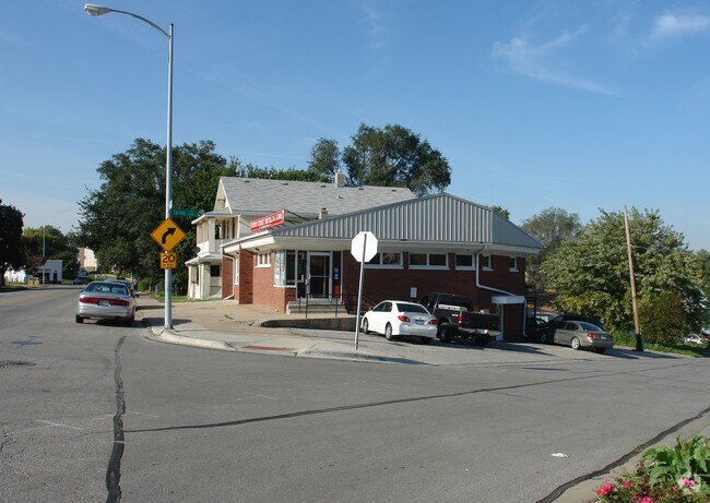
Property Record
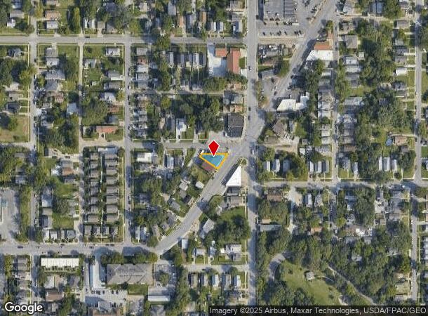
2002 Vinton St, Omaha, NE 68108
NEARBY LISTINGS FOR SALE OR LEASE
Property Detail
2002 Vinton St
Omaha-Council Bluffs, NE-IA
Vinton Place
0256-0000-24
VINTON PLACE LOT 2 BLOCK 0 IRREG LOTS 1&
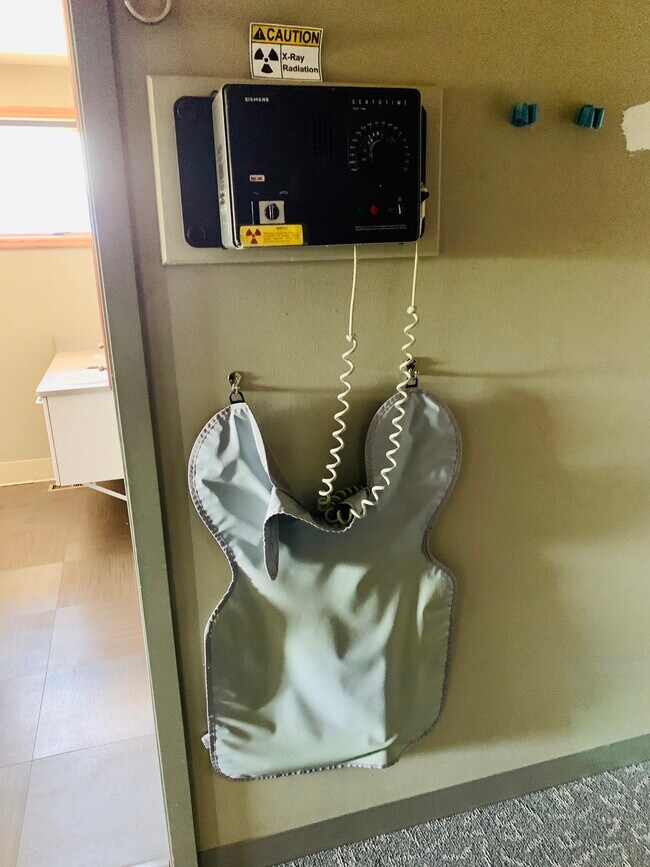
Medicalbuilding
Douglas
X
Nebraska
31153C0080G
2,1
2024
0.10 AC
2025
Downtown Omaha
002400
Omaha/Council Bluffs
4,394 SF
DEMOGRAPHICS near 2002 Vinton St
1 Mile
3 Mile
5 Mile
2024 Total Population
16,518
115,300
245,617
2029 Population
16,707
117,495
250,519
Pop Growth 2024-2029
+ 1.14%
+ 1.90%
+ 2.00%
Average Age
34
35
36
2024 Total Households
5,317
45,869
97,130
HH Growth 2024-2029
+ 1.20%
+ 2.23%
+ 2.13%
Median Household Inc
$49,499
$50,329
$53,970
Avg Household Size
2.90
2.30
2.40
2024 Avg HH Vehicles
2.00
2.00
2.00
Median Home Value
$141,065
$155,902
$163,789
Median Year Built
1946
1951
1956
Nearby Places
Map Layers
Map Styles
 Street
 Aerial
- Restaurants
- Banks
- Shops
- Fitness
- Groceries
PUBLIC TRANSPORTATION
COMMUTER RAIL
DRIVE
WALK
Distance
4 min
1.9 mi
DRIVE
WALK
Distance
5 min
2.0 mi
AIRPORT
Eppley Airfield
DRIVE
WALK
Distance
Eppley Airfield
15 min
6.0 mi
SALE & LEASE HISTORY
LISTING DATE
SALE/LEASE

May 27, 2020
For Lease
Aug 13, 2019
For Sale
Nearby Properties
Address
Land Use
TOTAL SIZE
Lot Size
Zoning
Address
Land Use
TOTAL SIZE
Lot Size
Zoning
1,068,760 SF
1.72 AC
Address
Land Use
TOTAL SIZE
Lot Size
Zoning
1,318,852 SF
8.77 AC
Address
Land Use
TOTAL SIZE
Lot Size
Zoning
603,518 SF
5.55 AC
CBD
Address
Land Use
TOTAL SIZE
Lot Size
Zoning
36.26 AC
P-C
Address
Land Use
TOTAL SIZE
Lot Size
Zoning
534,110 SF
4.35 AC
Address
Land Use
TOTAL SIZE
Lot Size
Zoning
30.39 AC
P-C
Address
Land Use
TOTAL SIZE
Lot Size
Zoning
362,402 SF
1.94 AC
Address
Land Use
TOTAL SIZE
Lot Size
Zoning
318,811 SF
11.51 AC
Address
Land Use
TOTAL SIZE
Lot Size
Zoning
370,431 SF
8.57 AC
Address
Land Use
TOTAL SIZE
Lot Size
Zoning
254,306 SF
0.82 AC
Address
Land Use
TOTAL SIZE
Lot Size
Zoning
426,416 SF
1.55 AC
Address
Land Use
TOTAL SIZE
Lot Size
Zoning
16.18 AC
P-C
Address
Land Use
TOTAL SIZE
Lot Size
Zoning
1,027,620 SF
4.33 AC
Address
Land Use
TOTAL SIZE
Lot Size
Zoning
378,420 SF
0.72 AC
Address
Land Use
TOTAL SIZE
Lot Size
Zoning
276,622 SF
3.90 AC
Address
Land Use
TOTAL SIZE
Lot Size
Zoning
189,720 SF
1.22 AC
CBD
Address
Land Use
TOTAL SIZE
Lot Size
Zoning
346,816 SF
0.80 AC
Address
Land Use
TOTAL SIZE
Lot Size
Zoning
318,392 SF
7.77 AC
Address
Land Use
TOTAL SIZE
Lot Size
Zoning
4.22 AC
R-4
Address
Land Use
TOTAL SIZE
Lot Size
Zoning
319,440 SF
3.05 AC
Address
Land Use
TOTAL SIZE
Lot Size
Zoning
206,591 SF
0.60 AC
Address
Land Use
TOTAL SIZE
Lot Size
Zoning
335,431 SF
0.79 AC
Address
Land Use
TOTAL SIZE
Lot Size
Zoning
27.38 AC
I-2
Address
Land Use
TOTAL SIZE
Lot Size
Zoning
10.91 AC
R-3
Address
Land Use
TOTAL SIZE
Lot Size
Zoning
140,130 SF
1.89 AC
Address
Land Use
TOTAL SIZE
Lot Size
Zoning
149,737 SF
1.93 AC
Address
Land Use
TOTAL SIZE
Lot Size
Zoning
274,024 SF
1.46 AC
Address
Land Use
TOTAL SIZE
Lot Size
Zoning
254,548 SF
1.67 AC
Address
Land Use
TOTAL SIZE
Lot Size
Zoning
198,447 SF
1.36 AC
The World's #1 Commercial Real Estate Marketplace
Connect with us
© 2025 CoStar Group
The information above has been obtained from sources believed reliable. While we do not doubt its accuracy we have not verified it and make no guarantee, warranty or representation about it. It is your responsibility to independently confirm its accuracy and completeness. Any projections, opinions, assumptions, or estimates used are for example only and do not represent the current or future performance of the property. The value of this transaction to you depends on tax and other factors which should be evaluated by your tax, financial, and legal advisors. You and your advisors should conduct a careful, independent investigation of the property to determine to your satisfaction the suitability of the property for your needs.