Property Record
2008 2008 Rd, Vermilion, OH 44089


Property Detail
2008 2008 Rd
12-01778-000
1-B,14 E SIDE SR 60 6.24A
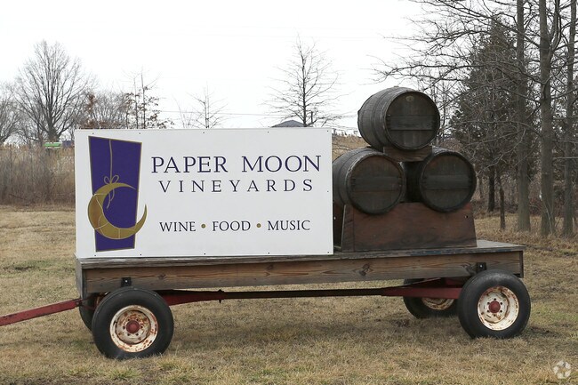
Storebuilding
ERIE
B and X Area of moderate flood hazard, usually the area between the limits of the 100-year and 500-year floods.
Ohio
2025
6.24 AC
2025
Erie County
040100
Cleveland
14,400 SF
Sandusky, OH
NEARBY LISTINGS FOR SALE OR LEASE
-
-
View all Vermilion listings for sale on LoopNet.com
DEMOGRAPHICS near 2008 2008 Rd
1 mile
3 mile
5 mile
2025 Total Population
2,838
12,405
17,678
2030 Population
2,755
12,433
17,804
Pop Growth 2025-2030
(2.92%)
+ 0.23%
+ 0.71%
Average Age
46
46
46
2025 Total Households
1,226
5,392
7,594
HH Growth 2025-2030
(3.26%)
+ 0.13%
+ 0.63%
Median Household Inc
$72,411
$73,345
$74,136
Avg Household Size
2.30
2.30
2.30
2025 Avg HH Vehicles
2.00
2.00
2.00
Median Home Value
$176,397
$205,042
$226,237
Median Year Built
1966
1967
1970
Nearby Places
Map Layers
Map Styles
 Street
 Aerial
Layers
 Traffic
 Biking
Places
Listings with unknown addresses are not visible on the map
- Restaurants
- Banks
- Shops
- Fitness
- Groceries
PUBLIC TRANSPORTATION
AIRPORT
Cleveland-Hopkins International
Drive
Walk
Distance
Cleveland-Hopkins International
44 min
31.9 mi
Freight Ports
Port of Toledo
Drive
Walk
Distance
Port of Toledo
98 min
78.6 mi
Nearby Properties
Address
Land Use
TOTAL SIZE
Lot Size
Zoning
Address
Land Use
TOTAL SIZE
Lot Size
Zoning
50,462 SF
2.56 AC
Address
Land Use
TOTAL SIZE
Lot Size
Zoning
73,044 SF
12.09 AC
Address
Land Use
TOTAL SIZE
Lot Size
Zoning
130,030 SF
15.61 AC
Address
Land Use
TOTAL SIZE
Lot Size
Zoning
Address
Land Use
TOTAL SIZE
Lot Size
Zoning
6,125 SF
21.87 AC
Address
Land Use
TOTAL SIZE
Lot Size
Zoning
1,512 SF
2.42 AC
Address
Land Use
TOTAL SIZE
Lot Size
Zoning
19,984 SF
25.94 AC
Address
Land Use
TOTAL SIZE
Lot Size
Zoning
61,596 SF
5.10 AC
Address
Land Use
TOTAL SIZE
Lot Size
Zoning
16,343 SF
0.20 AC
Address
Land Use
TOTAL SIZE
Lot Size
Zoning
16,030 SF
0.78 AC
Address
Land Use
TOTAL SIZE
Lot Size
Zoning
12,840 SF
14.53 AC
Address
Land Use
TOTAL SIZE
Lot Size
Zoning
36,094 SF
14.40 AC
Address
Land Use
TOTAL SIZE
Lot Size
Zoning
Address
Land Use
TOTAL SIZE
Lot Size
Zoning
Address
Land Use
TOTAL SIZE
Lot Size
Zoning
Address
Land Use
TOTAL SIZE
Lot Size
Zoning
65,597 SF
7.60 AC
Address
Land Use
TOTAL SIZE
Lot Size
Zoning
3,724 SF
17.66 AC
Address
Land Use
TOTAL SIZE
Lot Size
Zoning
41,726 SF
10.09 AC
Address
Land Use
TOTAL SIZE
Lot Size
Zoning
34,966 SF
2.64 AC
Address
Land Use
TOTAL SIZE
Lot Size
Zoning
5,112 SF
12.71 AC
Address
Land Use
TOTAL SIZE
Lot Size
Zoning
6,125 SF
8 AC
Address
Land Use
TOTAL SIZE
Lot Size
Zoning
24.04 AC
Address
Land Use
TOTAL SIZE
Lot Size
Zoning
1.50 AC
Address
Land Use
TOTAL SIZE
Lot Size
Zoning
9,360 SF
3.30 AC
Address
Land Use
TOTAL SIZE
Lot Size
Zoning
4,588 SF
0.26 AC
Address
Land Use
TOTAL SIZE
Lot Size
Zoning
Address
Land Use
TOTAL SIZE
Lot Size
Zoning
1,248 SF
55.53 AC
Address
Land Use
TOTAL SIZE
Lot Size
Zoning
10,368 SF
5.01 AC
Address
Land Use
TOTAL SIZE
Lot Size
Zoning
Address
Land Use
TOTAL SIZE
Lot Size
Zoning
9,760 SF
5.06 AC
The World's #1 Commercial Real Estate Marketplace
Connect with us
© 2026 CoStar Group
The information above has been obtained from sources believed reliable. While we do not doubt its accuracy we have not verified it and make no guarantee, warranty or representation about it. It is your responsibility to independently confirm its accuracy and completeness. Any projections, opinions, assumptions, or estimates used are for example only and do not represent the current or future performance of the property. The value of this transaction to you depends on tax and other factors which should be evaluated by your tax, financial, and legal advisors. You and your advisors should conduct a careful, independent investigation of the property to determine to your satisfaction the suitability of the property for your needs.