Property Record
201 75Th St W, Bradenton, FL 34209
Save to a Folder
{{folder.Name}}
{{folder.ListingIds.length}} Properties
{{folder.ListingIds.length}} Property
Create a New Folder
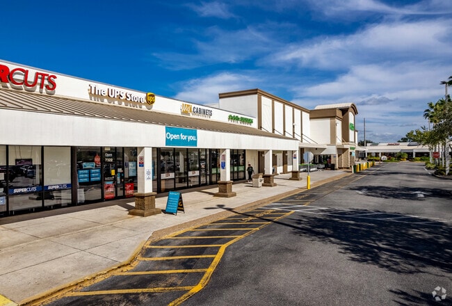
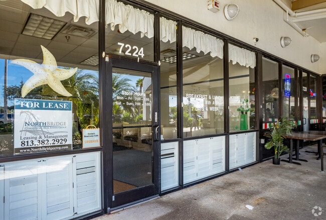
Property Detail
201 75Th St W
38986-0005-5
COM AT THE SW COR OF THE NW1/4 OF THE SE1/4 OF SEC 30; RUN TH N 00 DEG 08 MIN 01 SEC W ALG THE W LN OF SD NW1/4 OF THE SE1/4 OF SEC 30 (SD W LN ALSO BEING THE C/L OF 75TH ST W) A
Miscellaneous
MANATEE
GC,RSF-4.5
Florida
B and X Area of moderate flood hazard, usually the area between the limits of the 100-year and 500-year floods.
0.42 AC
0
Manatee
2026
Tampa/St Petersburg
000407
North Port-Bradenton-Sarasota, FL
NEARBY LISTINGS FOR SALE OR LEASE
DEMOGRAPHICS near 201 75Th St W
1 mile
3 mile
5 mile
2025 Total Population
9,267
51,412
134,872
2030 Population
10,300
57,333
151,774
Pop Growth 2025-2030
+ 11.15%
+ 11.52%
+ 12.53%
Average Age
50
51
47
2025 Total Households
4,080
23,589
60,890
HH Growth 2025-2030
+ 11.35%
+ 11.95%
+ 13.04%
Median Household Inc
$88,075
$80,872
$65,537
Avg Household Size
2.20
2.10
2.10
2025 Avg HH Vehicles
2.00
2.00
2.00
Median Home Value
$430,318
$389,559
$346,573
Median Year Built
1979
1981
1980
Nearby Places
Map Layers
Map Styles
 Street
 Aerial
Layers
 Traffic
 Biking
Places
Listings with unknown addresses are not visible on the map
- Restaurants
- Banks
- Shops
- Fitness
- Groceries
PUBLIC TRANSPORTATION
AIRPORT
Sarasota/Bradenton International
Drive
Walk
Distance
Sarasota/Bradenton International
21 min
11.4 mi
St Pete-Clearwater International
Drive
Walk
Distance
St Pete-Clearwater International
61 min
40.5 mi
Freight Ports
Port Manatee
Drive
Walk
Distance
Port Manatee
29 min
16.1 mi
SALE & LEASE HISTORY
LISTING DATE
SALE/LEASE

Sep 25, 2016
For Lease
Jan 25, 2017
For Lease
Jan 25, 2017
For Lease
Jan 19, 2017
For Lease
Feb 26, 2021
For Lease
Nearby Properties
Address
Land Use
TOTAL SIZE
Lot Size
Zoning
Address
Land Use
TOTAL SIZE
Lot Size
Zoning
508,298 SF
18.71 AC
P
Address
Land Use
TOTAL SIZE
Lot Size
Zoning
356,808 SF
24.25 AC
RMF-9 MULT
Address
Land Use
TOTAL SIZE
Lot Size
Zoning
279,545 SF
19.41 AC
BR_R-1
Address
Land Use
TOTAL SIZE
Lot Size
Zoning
297,456 SF
17.24 AC
GC,RMF-9
Address
Land Use
TOTAL SIZE
Lot Size
Zoning
395,543 SF
29.18 AC
BR_R-3
Address
Land Use
TOTAL SIZE
Lot Size
Zoning
235,443 SF
14.75 AC
RMF-9 MULT
Address
Land Use
TOTAL SIZE
Lot Size
Zoning
268,662 SF
21.35 AC
BR_PDP,BR_
Address
Land Use
TOTAL SIZE
Lot Size
Zoning
214,906 SF
20.71 AC
BR_R-1
Address
Land Use
TOTAL SIZE
Lot Size
Zoning
223,974 SF
17.41 AC
BR_R-2
Address
Land Use
TOTAL SIZE
Lot Size
Zoning
583,480 SF
16.52 AC
BR_R-3
Address
Land Use
TOTAL SIZE
Lot Size
Zoning
162,027 SF
14.21 AC
BR_R-2
Address
Land Use
TOTAL SIZE
Lot Size
Zoning
163,868 SF
12.60 AC
BR_R-3
Address
Land Use
TOTAL SIZE
Lot Size
Zoning
196,346 SF
33.03 AC
BR_R-1
Address
Land Use
TOTAL SIZE
Lot Size
Zoning
106,355 SF
120.66 AC
BR_PDP
Address
Land Use
TOTAL SIZE
Lot Size
Zoning
171,396 SF
15.03 AC
GC GENERA
Address
Land Use
TOTAL SIZE
Lot Size
Zoning
211,632 SF
24.68 AC
BR_SCC
Address
Land Use
TOTAL SIZE
Lot Size
Zoning
105,892 SF
18.10 AC
BR_R-1
Address
Land Use
TOTAL SIZE
Lot Size
Zoning
127,833 SF
2.01 AC
GC GENERA
Address
Land Use
TOTAL SIZE
Lot Size
Zoning
183,282 SF
17.80 AC
RSF-4.5 RE
Address
Land Use
TOTAL SIZE
Lot Size
Zoning
185,036 SF
11.81 AC
BR_SCC
Address
Land Use
TOTAL SIZE
Lot Size
Zoning
200,894 SF
9.15 AC
BR_SCC
Address
Land Use
TOTAL SIZE
Lot Size
Zoning
97,050 SF
8.54 AC
BR_R-1
Address
Land Use
TOTAL SIZE
Lot Size
Zoning
84,909 SF
3.33 AC
RSF-4.5 RE
Address
Land Use
TOTAL SIZE
Lot Size
Zoning
92,973 SF
2.34 AC
GC GENERA
Address
Land Use
TOTAL SIZE
Lot Size
Zoning
222,620 SF
15.42 AC
BR_SCC
Address
Land Use
TOTAL SIZE
Lot Size
Zoning
96,670 SF
9.97 AC
BR_SCC
Address
Land Use
TOTAL SIZE
Lot Size
Zoning
95,440 SF
9.62 AC
BR_R-1
Address
Land Use
TOTAL SIZE
Lot Size
Zoning
36,586 SF
4 AC
BR_P
Address
Land Use
TOTAL SIZE
Lot Size
Zoning
369,092 SF
7.89 AC
BR_R-1
Address
Land Use
TOTAL SIZE
Lot Size
Zoning
70,895 SF
6.95 AC
BR_P
The World's #1 Commercial Real Estate Marketplace
Connect with us
© 2026 CoStar Group
The information above has been obtained from sources believed reliable. While we do not doubt its accuracy we have not verified it and make no guarantee, warranty or representation about it. It is your responsibility to independently confirm its accuracy and completeness. Any projections, opinions, assumptions, or estimates used are for example only and do not represent the current or future performance of the property. The value of this transaction to you depends on tax and other factors which should be evaluated by your tax, financial, and legal advisors. You and your advisors should conduct a careful, independent investigation of the property to determine to your satisfaction the suitability of the property for your needs.