Property Record
201 E Bay Heights Rd, Englewood, FL 34223


NEARBY LISTINGS FOR SALE OR LEASE
Property Detail
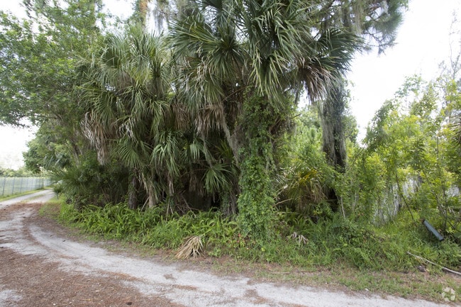
201 E Bay Heights Rd
Punta Gorda, FL
Grove City Land Companys Subdivision
412006127003
06 41 20 PARCEL 4-5 9.91 AC M/L A PARCEL 140 FT X 80 FT IN SW COR LT 31 ALSO LOT 32 LESS A 66 FT X 150 FT PARCEL IN SW COR OF LOT 32 ALSO A 50 FT X 160 FT TRIANGLE ADJ TO SE COR OF LOT 32 398/63 660/560 660/558 859/95 E1567/1990 2129/2021-20
Residentialacreage
Charlotte
AE
Florida
12115C0453G
31,32
2024
10.24 AC
2025
Charlotte County
030301
Southwest Florida
DEMOGRAPHICS near 201 E Bay Heights Rd
1 Mile
3 Mile
5 Mile
2024 Total Population
3,910
21,852
40,326
2029 Population
4,668
26,181
48,187
Pop Growth 2024-2029
+ 19.39%
+ 19.81%
+ 19.49%
Average Age
57
61
59
2024 Total Households
2,053
11,570
20,653
HH Growth 2024-2029
+ 19.43%
+ 20.05%
+ 19.68%
Median Household Inc
$57,360
$56,084
$56,928
Avg Household Size
1.80
1.80
1.90
2024 Avg HH Vehicles
1.00
1.00
2.00
Median Home Value
$276,804
$277,491
$281,504
Median Year Built
1976
1981
1985
Nearby Places
Map Layers
Map Styles
 Street
 Aerial
- Restaurants
- Banks
- Shops
- Fitness
- Groceries
PUBLIC TRANSPORTATION
AIRPORT
Punta Gorda
DRIVE
WALK
Distance
Punta Gorda
48 min
28.9 mi
Freight Ports
Port Manatee
DRIVE
WALK
Distance
Port Manatee
73 min
54.4 mi
SALE & LEASE HISTORY
LISTING DATE
SALE/LEASE

Nov 10, 2017
For Sale
May 03, 2019
For Sale
Feb 18, 2024
For Sale
Aug 23, 2017
For Sale
Aug 22, 2017
For Sale
Nearby Properties
Address
Land Use
TOTAL SIZE
Lot Size
Zoning
Address
Land Use
TOTAL SIZE
Lot Size
Zoning
796,848 SF
44.28 AC
RE1
Address
Land Use
TOTAL SIZE
Lot Size
Zoning
95,649 SF
10.41 AC
OPI
Address
Land Use
TOTAL SIZE
Lot Size
Zoning
193,100 SF
26.30 AC
PD
Address
Land Use
TOTAL SIZE
Lot Size
Zoning
55,952 SF
4.69 AC
MMF7.5
Address
Land Use
TOTAL SIZE
Lot Size
Zoning
73,356 SF
8.98 AC
GU
Address
Land Use
TOTAL SIZE
Lot Size
Zoning
30,565 SF
136.67 AC
GU
Address
Land Use
TOTAL SIZE
Lot Size
Zoning
28,490 SF
172 AC
PKR
Address
Land Use
TOTAL SIZE
Lot Size
Zoning
33,654 SF
10.19 AC
RMF5
Address
Land Use
TOTAL SIZE
Lot Size
Zoning
91,934 SF
8.39 AC
PD
Address
Land Use
TOTAL SIZE
Lot Size
Zoning
63,480 SF
6.22 AC
RMF3
Address
Land Use
TOTAL SIZE
Lot Size
Zoning
54.51 AC
SAPD
Address
Land Use
TOTAL SIZE
Lot Size
Zoning
112,350 SF
2.84 AC
CG
Address
Land Use
TOTAL SIZE
Lot Size
Zoning
103,161 SF
2.54 AC
ILW
Address
Land Use
TOTAL SIZE
Lot Size
Zoning
111,505 SF
9.53 AC
CG
Address
Land Use
TOTAL SIZE
Lot Size
Zoning
6,061 SF
13.72 AC
MES
Address
Land Use
TOTAL SIZE
Lot Size
Zoning
95,900 SF
5.56 AC
RMF3
Address
Land Use
TOTAL SIZE
Lot Size
Zoning
70,165 SF
22.18 AC
CG
Address
Land Use
TOTAL SIZE
Lot Size
Zoning
58,185 SF
3.40 AC
IG
Address
Land Use
TOTAL SIZE
Lot Size
Zoning
71,462 SF
24.99 AC
RE1
Address
Land Use
TOTAL SIZE
Lot Size
Zoning
2,495 SF
6.97 AC
RMH
Address
Land Use
TOTAL SIZE
Lot Size
Zoning
89,501 SF
6.52 AC
CG
Address
Land Use
TOTAL SIZE
Lot Size
Zoning
50,672 SF
77.41 AC
RMF1
Address
Land Use
TOTAL SIZE
Lot Size
Zoning
25,777 SF
12.18 AC
PD
Address
Land Use
TOTAL SIZE
Lot Size
Zoning
4,219 SF
69.48 AC
GU
Address
Land Use
TOTAL SIZE
Lot Size
Zoning
25,478 SF
11.06 AC
IG
Address
Land Use
TOTAL SIZE
Lot Size
Zoning
42,228 SF
9.24 AC
RE1
Address
Land Use
TOTAL SIZE
Lot Size
Zoning
72,168 SF
7.11 AC
CG
Address
Land Use
TOTAL SIZE
Lot Size
Zoning
1,459 SF
11.21 AC
RSF4
Address
Land Use
TOTAL SIZE
Lot Size
Zoning
38,753 SF
8.78 AC
OPI
Address
Land Use
TOTAL SIZE
Lot Size
Zoning
44,594 SF
5.70 AC
CG
The World's #1 Commercial Real Estate Marketplace
Connect with us
© 2025 CoStar Group
The information above has been obtained from sources believed reliable. While we do not doubt its accuracy we have not verified it and make no guarantee, warranty or representation about it. It is your responsibility to independently confirm its accuracy and completeness. Any projections, opinions, assumptions, or estimates used are for example only and do not represent the current or future performance of the property. The value of this transaction to you depends on tax and other factors which should be evaluated by your tax, financial, and legal advisors. You and your advisors should conduct a careful, independent investigation of the property to determine to your satisfaction the suitability of the property for your needs.