Property Record
201 E Riverside Dr, Austin, TX 78704
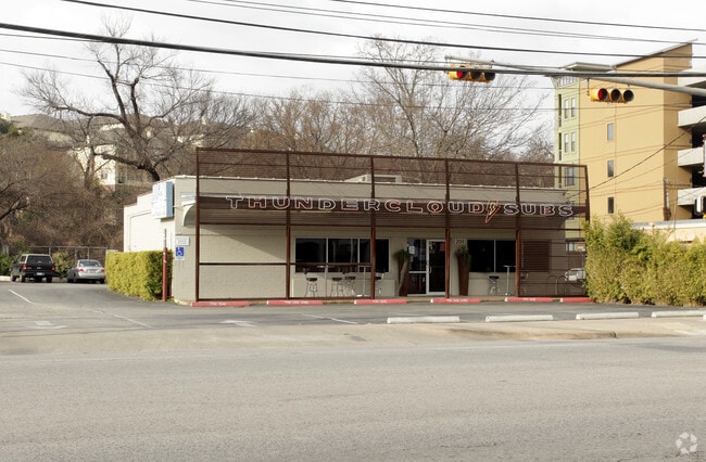

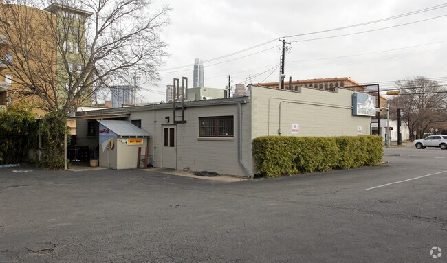
Property Detail
201 E Riverside Dr
Austin-Round Rock-San Marcos, TX
ABS 8 SUR 20 DECKER I ACR .21 MARTIN ESTATE
187784
Travis
Restaurantdrivein
Texas
AE The base floodplain where base flood elevations are provided. AE Zones are now used on new format FIRMs instead of A1-A30 Zones.
d
2025
0.21 AC
2025
South
001401
Austin
1,800 SF
NEARBY LISTINGS FOR SALE OR LEASE
DEMOGRAPHICS near 201 E Riverside Dr
1 mile
3 mile
5 mile
2025 Total Population
23,103
200,397
374,046
2030 Population
24,686
211,551
393,989
Pop Growth 2025-2030
+ 6.85%
+ 5.57%
+ 5.33%
Average Age
41
35
36
2025 Total Households
13,862
97,282
170,886
HH Growth 2025-2030
+ 7.53%
+ 6.45%
+ 6.12%
Median Household Inc
$150,869
$86,328
$90,282
Avg Household Size
1.60
1.80
2.00
2025 Avg HH Vehicles
1.00
1.00
2.00
Median Home Value
$948,545
$842,702
$763,701
Median Year Built
2009
2000
1996
Nearby Places
Map Layers
Map Styles
 Street
 Aerial
Transit
 Traffic
 Biking
Places
Listings with unknown addresses are not visible on the map
- Restaurants
- Banks
- Shops
- Fitness
- Groceries
PUBLIC TRANSPORTATION
COMMUTER RAIL
Drive
Walk
Distance
5 min
1.7 mi
AIRPORT
Austin-Bergstrom International
Drive
Walk
Distance
Austin-Bergstrom International
24 min
10.3 mi
Nearby Properties
Address
Land Use
TOTAL SIZE
Lot Size
Zoning
Address
Land Use
TOTAL SIZE
Lot Size
Zoning
9,768 SF
386.80 AC
Address
Land Use
TOTAL SIZE
Lot Size
Zoning
1,008,789 SF
17.50 AC
Address
Land Use
TOTAL SIZE
Lot Size
Zoning
20,550 SF
14.15 AC
Address
Land Use
TOTAL SIZE
Lot Size
Zoning
262 SF
65.06 AC
Address
Land Use
TOTAL SIZE
Lot Size
Zoning
28.39 AC
Address
Land Use
TOTAL SIZE
Lot Size
Zoning
Address
Land Use
TOTAL SIZE
Lot Size
Zoning
28.62 AC
Address
Land Use
TOTAL SIZE
Lot Size
Zoning
1,156,135 SF
1.74 AC
Address
Land Use
TOTAL SIZE
Lot Size
Zoning
1,003,475 SF
1.84 AC
Address
Land Use
TOTAL SIZE
Lot Size
Zoning
27.17 AC
Address
Land Use
TOTAL SIZE
Lot Size
Zoning
136,900 SF
19.32 AC
Address
Land Use
TOTAL SIZE
Lot Size
Zoning
786,600 SF
1.27 AC
Address
Land Use
TOTAL SIZE
Lot Size
Zoning
24.50 AC
Address
Land Use
TOTAL SIZE
Lot Size
Zoning
9,034 SF
28.69 AC
Address
Land Use
TOTAL SIZE
Lot Size
Zoning
30.96 AC
Address
Land Use
TOTAL SIZE
Lot Size
Zoning
709,300 SF
0.94 AC
Address
Land Use
TOTAL SIZE
Lot Size
Zoning
498,684 SF
61.86 AC
Address
Land Use
TOTAL SIZE
Lot Size
Zoning
18.52 AC
Address
Land Use
TOTAL SIZE
Lot Size
Zoning
47.20 AC
Address
Land Use
TOTAL SIZE
Lot Size
Zoning
1,400,000 SF
3.07 AC
Address
Land Use
TOTAL SIZE
Lot Size
Zoning
789,220 SF
14.34 AC
Address
Land Use
TOTAL SIZE
Lot Size
Zoning
35,041 SF
28.65 AC
Address
Land Use
TOTAL SIZE
Lot Size
Zoning
21 AC
Address
Land Use
TOTAL SIZE
Lot Size
Zoning
999,200 SF
25 AC
Address
Land Use
TOTAL SIZE
Lot Size
Zoning
513,567 SF
1.78 AC
Address
Land Use
TOTAL SIZE
Lot Size
Zoning
500,511 SF
0.82 AC
Address
Land Use
TOTAL SIZE
Lot Size
Zoning
609,613 SF
1.31 AC
Address
Land Use
TOTAL SIZE
Lot Size
Zoning
24.06 AC
Address
Land Use
TOTAL SIZE
Lot Size
Zoning
826,478 SF
1.75 AC
The World's #1 Commercial Real Estate Marketplace
Connect with us
© 2026 CoStar Group
The information above has been obtained from sources believed reliable. While we do not doubt its accuracy we have not verified it and make no guarantee, warranty or representation about it. It is your responsibility to independently confirm its accuracy and completeness. Any projections, opinions, assumptions, or estimates used are for example only and do not represent the current or future performance of the property. The value of this transaction to you depends on tax and other factors which should be evaluated by your tax, financial, and legal advisors. You and your advisors should conduct a careful, independent investigation of the property to determine to your satisfaction the suitability of the property for your needs.