Property Record
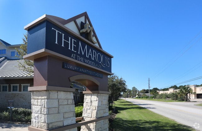
201 Pruitt Rd, Spring, TX 77380

Property Detail
201 Pruitt Rd
2133-00-00205
S213300 - ALEXAN OF PRUITT ROAD, RES B-1 (ALEXAN SPRINGS APT P#2007005179 RES A), ACRES 12.8726
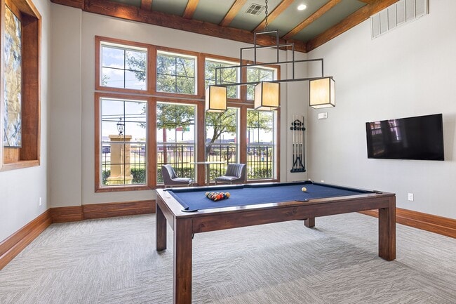
Multifamilydwelling
Montgomery
6
Texas
AE The base floodplain where base flood elevations are provided. AE Zones are now used on new format FIRMs instead of A1-A30 Zones.
12.87 AC
2024
Grogan's Mill
2025
Houston
691403
Houston-Pasadena-The Woodlands, TX
293,997 SF
NEARBY LISTINGS FOR SALE OR LEASE
-
-
View all Spring listings for sale on LoopNet.com
DEMOGRAPHICS near 201 Pruitt Rd
1 mile
3 mile
5 mile
2025 Total Population
7,141
70,793
211,735
2030 Population
8,288
80,744
238,530
Pop Growth 2025-2030
+ 16.06%
+ 14.06%
+ 12.65%
Average Age
33
37
37
2025 Total Households
2,886
27,526
77,306
HH Growth 2025-2030
+ 16.56%
+ 14.70%
+ 13.27%
Median Household Inc
$56,976
$89,377
$101,966
Avg Household Size
2.40
2.50
2.70
2025 Avg HH Vehicles
2.00
2.00
2.00
Median Home Value
$303,333
$314,457
$337,416
Median Year Built
2001
2000
2004
Nearby Places
Map Layers
Map Styles
 Street
 Aerial
Transit
 Traffic
 Biking
Places
Listings with unknown addresses are not visible on the map
- Restaurants
- Banks
- Shops
- Fitness
- Groceries
PUBLIC TRANSPORTATION
AIRPORT
George Bush Intcntl/Houston
Drive
Walk
Distance
George Bush Intcntl/Houston
22 min
17.8 mi
Freight Ports
Port of Houston
Drive
Walk
Distance
Port of Houston
45 min
33.5 mi
Nearby Properties
Address
Land Use
TOTAL SIZE
Lot Size
Zoning
Address
Land Use
TOTAL SIZE
Lot Size
Zoning
6,576,138 SF
186.74 AC
Address
Land Use
TOTAL SIZE
Lot Size
Zoning
1,186,001 SF
13.27 AC
Address
Land Use
TOTAL SIZE
Lot Size
Zoning
1,004,830 SF
7.83 AC
Address
Land Use
TOTAL SIZE
Lot Size
Zoning
974,064 SF
11.79 AC
Address
Land Use
TOTAL SIZE
Lot Size
Zoning
802,274 SF
2.68 AC
Address
Land Use
TOTAL SIZE
Lot Size
Zoning
670,665 SF
6.70 AC
Address
Land Use
TOTAL SIZE
Lot Size
Zoning
571,041 SF
4.82 AC
Address
Land Use
TOTAL SIZE
Lot Size
Zoning
178,645 SF
8.74 AC
Address
Land Use
TOTAL SIZE
Lot Size
Zoning
457,883 SF
3.74 AC
Address
Land Use
TOTAL SIZE
Lot Size
Zoning
327,377 SF
24.02 AC
6
Address
Land Use
TOTAL SIZE
Lot Size
Zoning
327,018 SF
21.91 AC
6
Address
Land Use
TOTAL SIZE
Lot Size
Zoning
368,000 SF
8.65 AC
Address
Land Use
TOTAL SIZE
Lot Size
Zoning
467,928 SF
6 AC
Address
Land Use
TOTAL SIZE
Lot Size
Zoning
296,094 SF
10.19 AC
Address
Land Use
TOTAL SIZE
Lot Size
Zoning
279,413 SF
12.45 AC
6
Address
Land Use
TOTAL SIZE
Lot Size
Zoning
532,751 SF
6.43 AC
Address
Land Use
TOTAL SIZE
Lot Size
Zoning
314,169 SF
3.09 AC
Address
Land Use
TOTAL SIZE
Lot Size
Zoning
364,860 SF
14.96 AC
Address
Land Use
TOTAL SIZE
Lot Size
Zoning
377,266 SF
17.44 AC
Address
Land Use
TOTAL SIZE
Lot Size
Zoning
325,294 SF
21.81 AC
6
Address
Land Use
TOTAL SIZE
Lot Size
Zoning
388,855 SF
19.86 AC
6
Address
Land Use
TOTAL SIZE
Lot Size
Zoning
454,330 SF
9.77 AC
Address
Land Use
TOTAL SIZE
Lot Size
Zoning
360,340 SF
14.29 AC
Address
Land Use
TOTAL SIZE
Lot Size
Zoning
373,310 SF
2.47 AC
Address
Land Use
TOTAL SIZE
Lot Size
Zoning
327,690 SF
14.50 AC
Address
Land Use
TOTAL SIZE
Lot Size
Zoning
141,454 SF
21.13 AC
Address
Land Use
TOTAL SIZE
Lot Size
Zoning
471,015 SF
6.63 AC
Address
Land Use
TOTAL SIZE
Lot Size
Zoning
397,984 SF
6.42 AC
Address
Land Use
TOTAL SIZE
Lot Size
Zoning
333,146 SF
14.81 AC
6
Address
Land Use
TOTAL SIZE
Lot Size
Zoning
343,521 SF
9.88 AC
The World's #1 Commercial Real Estate Marketplace
Connect with us
© 2026 CoStar Group
The information above has been obtained from sources believed reliable. While we do not doubt its accuracy we have not verified it and make no guarantee, warranty or representation about it. It is your responsibility to independently confirm its accuracy and completeness. Any projections, opinions, assumptions, or estimates used are for example only and do not represent the current or future performance of the property. The value of this transaction to you depends on tax and other factors which should be evaluated by your tax, financial, and legal advisors. You and your advisors should conduct a careful, independent investigation of the property to determine to your satisfaction the suitability of the property for your needs.