Property Record
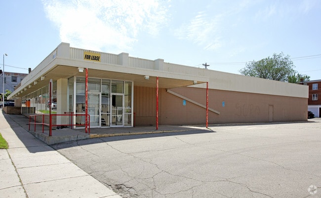
201 W Main St, Albert Lea, MN 56007

Property Detail
201 W Main St
Albert Lea, MN
MORIN'S ADDITION LOT-018 BLOCK-004 LOT 18 BLK 4 MORINS ADDITION
34.007.1300
Freeborn
Commercialnec
Minnesota
B3
18
B and X Area of moderate flood hazard, usually the area between the limits of the 100-year and 500-year floods.
0.85 AC
2025
Minnesota South Area
2026
Other Market Areas
180800
NEARBY LISTINGS FOR SALE OR LEASE
-
-
View all Albert Lea listings for sale on LoopNet.com
DEMOGRAPHICS near 201 W Main St
1 mile
3 mile
5 mile
2025 Total Population
8,729
19,379
20,524
2030 Population
8,691
19,237
20,367
Pop Growth 2025-2030
(0.44%)
(0.73%)
(0.76%)
Average Age
40
43
43
2025 Total Households
3,737
8,276
8,743
HH Growth 2025-2030
(0.35%)
(0.74%)
(0.77%)
Median Household Inc
$57,222
$62,460
$63,688
Avg Household Size
2.20
2.20
2.20
2025 Avg HH Vehicles
2.00
2.00
2.00
Median Home Value
$131,543
$160,750
$164,845
Median Year Built
1951
1959
1959
Nearby Places
Map Layers
Map Styles
 Street
 Aerial
Layers
 Traffic
 Biking
Places
Listings with unknown addresses are not visible on the map
- Restaurants
- Banks
- Shops
- Fitness
- Groceries
Nearby Properties
Address
Land Use
TOTAL SIZE
Lot Size
Zoning
Address
Land Use
TOTAL SIZE
Lot Size
Zoning
8.30 AC
PD
Address
Land Use
TOTAL SIZE
Lot Size
Zoning
26.38 AC
Address
Land Use
TOTAL SIZE
Lot Size
Zoning
2.01 AC
B3
Address
Land Use
TOTAL SIZE
Lot Size
Zoning
21.14 AC
Address
Land Use
TOTAL SIZE
Lot Size
Zoning
81.57 AC
I1
Address
Land Use
TOTAL SIZE
Lot Size
Zoning
5.41 AC
PD
Address
Land Use
TOTAL SIZE
Lot Size
Zoning
15.50 AC
Address
Land Use
TOTAL SIZE
Lot Size
Zoning
Address
Land Use
TOTAL SIZE
Lot Size
Zoning
16.79 AC
B2
Address
Land Use
TOTAL SIZE
Lot Size
Zoning
5.68 AC
PD
Address
Land Use
TOTAL SIZE
Lot Size
Zoning
6.96 AC
I2
Address
Land Use
TOTAL SIZE
Lot Size
Zoning
69,582 SF
12.88 AC
B2
Address
Land Use
TOTAL SIZE
Lot Size
Zoning
Address
Land Use
TOTAL SIZE
Lot Size
Zoning
Address
Land Use
TOTAL SIZE
Lot Size
Zoning
31.20 AC
IDD
Address
Land Use
TOTAL SIZE
Lot Size
Zoning
0.88 AC
R3
Address
Land Use
TOTAL SIZE
Lot Size
Zoning
247,732 SF
13.04 AC
I2
Address
Land Use
TOTAL SIZE
Lot Size
Zoning
11.71 AC
B2
Address
Land Use
TOTAL SIZE
Lot Size
Zoning
4.98 AC
Address
Land Use
TOTAL SIZE
Lot Size
Zoning
4.87 AC
I2
Address
Land Use
TOTAL SIZE
Lot Size
Zoning
2.51 AC
R3
Address
Land Use
TOTAL SIZE
Lot Size
Zoning
9.37 AC
I2
Address
Land Use
TOTAL SIZE
Lot Size
Zoning
12.80 AC
PD
Address
Land Use
TOTAL SIZE
Lot Size
Zoning
0.26 AC
B3
Address
Land Use
TOTAL SIZE
Lot Size
Zoning
6.64 AC
PD
Address
Land Use
TOTAL SIZE
Lot Size
Zoning
1.71 AC
PD
Address
Land Use
TOTAL SIZE
Lot Size
Zoning
2.90 AC
R3
Address
Land Use
TOTAL SIZE
Lot Size
Zoning
0.29 AC
Address
Land Use
TOTAL SIZE
Lot Size
Zoning
3.63 AC
The World's #1 Commercial Real Estate Marketplace
Connect with us
© 2026 CoStar Group
The information above has been obtained from sources believed reliable. While we do not doubt its accuracy we have not verified it and make no guarantee, warranty or representation about it. It is your responsibility to independently confirm its accuracy and completeness. Any projections, opinions, assumptions, or estimates used are for example only and do not represent the current or future performance of the property. The value of this transaction to you depends on tax and other factors which should be evaluated by your tax, financial, and legal advisors. You and your advisors should conduct a careful, independent investigation of the property to determine to your satisfaction the suitability of the property for your needs.