Property Record
201 W Us Highway 136, Rock Port, MO 64482

NEARBY LISTINGS FOR SALE OR LEASE
-
-
View all Rock Port listings for sale on LoopNet.com
Property Detail
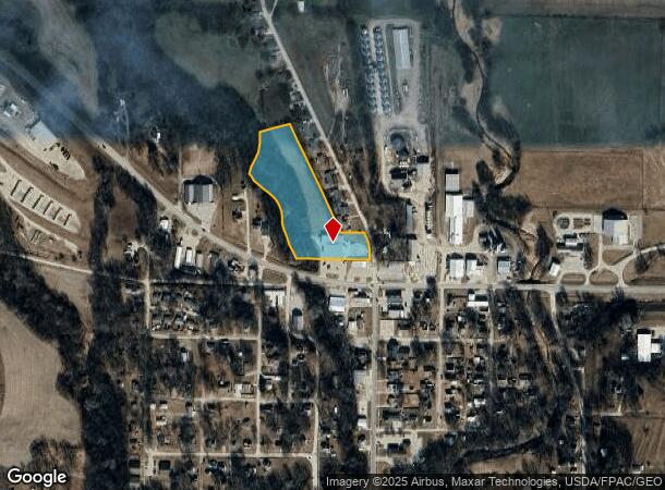
201 W Us Highway 136
Other Market Areas
Meek's Addition
5116-16-000150
ALL THAT PART OF THE NW QTR DESCRIBED AS FOLLOWS: COM @ A POINT 420' N SE COR
Supermarket
Atchison
2025
Missouri
2025
7
950200
5.05 AC
11,636 SF
Missouri North Area
DEMOGRAPHICS near 201 W Us Highway 136
1 Mile
3 Mile
5 Mile
2024 Total Population
1,362
1,646
1,788
2029 Population
1,338
1,617
1,756
Pop Growth 2024-2029
(1.76%)
(1.76%)
(1.79%)
Average Age
44
44
44
2024 Total Households
586
708
768
HH Growth 2024-2029
(1.88%)
(1.98%)
(1.95%)
Median Household Inc
$52,838
$53,333
$53,469
Avg Household Size
2.20
2.20
2.20
2024 Avg HH Vehicles
2.00
2.00
2.00
Median Home Value
$110,135
$111,667
$111,929
Median Year Built
1961
1961
1961
Nearby Places
Map Layers
Map Styles
 Street
 Aerial
- Restaurants
- Banks
- Shops
- Fitness
- Groceries
Nearby Properties
Address
Land Use
TOTAL SIZE
Lot Size
Zoning
Address
Land Use
TOTAL SIZE
Lot Size
Zoning
Address
Land Use
TOTAL SIZE
Lot Size
Zoning
Address
Land Use
TOTAL SIZE
Lot Size
Zoning
Address
Land Use
TOTAL SIZE
Lot Size
Zoning
1 AC
Address
Land Use
TOTAL SIZE
Lot Size
Zoning
Address
Land Use
TOTAL SIZE
Lot Size
Zoning
Address
Land Use
TOTAL SIZE
Lot Size
Zoning
1 AC
Address
Land Use
TOTAL SIZE
Lot Size
Zoning
Address
Land Use
TOTAL SIZE
Lot Size
Zoning
Address
Land Use
TOTAL SIZE
Lot Size
Zoning
1,500 SF
2 AC
Address
Land Use
TOTAL SIZE
Lot Size
Zoning
Address
Land Use
TOTAL SIZE
Lot Size
Zoning
Address
Land Use
TOTAL SIZE
Lot Size
Zoning
Address
Land Use
TOTAL SIZE
Lot Size
Zoning
Address
Land Use
TOTAL SIZE
Lot Size
Zoning
Address
Land Use
TOTAL SIZE
Lot Size
Zoning
Address
Land Use
TOTAL SIZE
Lot Size
Zoning
Address
Land Use
TOTAL SIZE
Lot Size
Zoning
Address
Land Use
TOTAL SIZE
Lot Size
Zoning
Address
Land Use
TOTAL SIZE
Lot Size
Zoning
Address
Land Use
TOTAL SIZE
Lot Size
Zoning
Address
Land Use
TOTAL SIZE
Lot Size
Zoning
7,840 SF
1.72 AC
Address
Land Use
TOTAL SIZE
Lot Size
Zoning
Address
Land Use
TOTAL SIZE
Lot Size
Zoning
2.43 AC
Address
Land Use
TOTAL SIZE
Lot Size
Zoning
400 SF
17.53 AC
Address
Land Use
TOTAL SIZE
Lot Size
Zoning
12,000 SF
41.30 AC
Address
Land Use
TOTAL SIZE
Lot Size
Zoning
9,100 SF
1.95 AC
Address
Land Use
TOTAL SIZE
Lot Size
Zoning
2,168 SF
7.60 AC
Address
Land Use
TOTAL SIZE
Lot Size
Zoning
3,914 SF
1.10 AC
The World's #1 Commercial Real Estate Marketplace
Connect with us
© 2026 CoStar Group
The information above has been obtained from sources believed reliable. While we do not doubt its accuracy we have not verified it and make no guarantee, warranty or representation about it. It is your responsibility to independently confirm its accuracy and completeness. Any projections, opinions, assumptions, or estimates used are for example only and do not represent the current or future performance of the property. The value of this transaction to you depends on tax and other factors which should be evaluated by your tax, financial, and legal advisors. You and your advisors should conduct a careful, independent investigation of the property to determine to your satisfaction the suitability of the property for your needs.