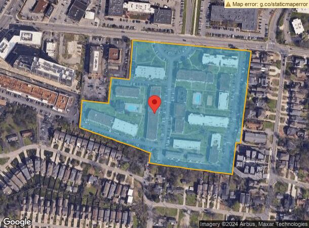
Property Record
2011 Richard Jones Rd, Nashville, TN 37215


NEARBY LISTINGS FOR SALE OR LEASE
Property Detail
2011 Richard Jones Rd
117-15-0-048.02
Plan Of Phoebe Nicholsons Subdivision
Apartment
SS RICHARD JONES ROAD W OF LONE OAK ROAD & PT CLOSED RD
X
Davidson
47037C0356H
Tennessee
2025
14.03 AC
2025
Green Hills
017901
Nashville
22,072 SF
Nashville-Davidson--Murfreesboro--Franklin, TN
DEMOGRAPHICS near 2011 Richard Jones Rd
1 Mile
3 Mile
5 Mile
2024 Total Population
10,592
77,316
199,434
2029 Population
10,402
76,543
200,653
Pop Growth 2024-2029
(1.79%)
(1.00%)
+ 0.61%
Average Age
42
38
37
2024 Total Households
4,645
32,672
89,644
HH Growth 2024-2029
(2.20%)
(1.29%)
+ 0.84%
Median Household Inc
$111,185
$107,090
$74,592
Avg Household Size
2.00
2.00
2.00
2024 Avg HH Vehicles
2.00
2.00
2.00
Median Home Value
$801,973
$818,987
$605,708
Median Year Built
1983
1979
1987
Nearby Places
Map Layers
Map Styles
 Street
 Aerial
- Restaurants
- Banks
- Shops
- Fitness
- Groceries
PUBLIC TRANSPORTATION
COMMUTER RAIL
Riverfront (East Corridor Line - Tennessee Regional Transportation Authority Music City Star (Music City Star))
DRIVE
WALK
Distance
Riverfront (East Corridor Line - Tennessee Regional Transportation Authority Music City Star (Music City Star))
10 min
5.2 mi
AIRPORT
Nashville International
DRIVE
WALK
Distance
Nashville International
16 min
10.4 mi
Freight Ports
Port of Mobile
DRIVE
WALK
Distance
Port of Mobile
485 min
443.5 mi
Nearby Properties
Address
Land Use
TOTAL SIZE
Lot Size
Zoning
Address
Land Use
TOTAL SIZE
Lot Size
Zoning
6,216 SF
131.92 AC
MULTI-ZONE
Address
Land Use
TOTAL SIZE
Lot Size
Zoning
30,648 SF
37.73 AC
ORI
Address
Land Use
TOTAL SIZE
Lot Size
Zoning
5,397 SF
36.19 AC
MULTI-ZONE
Address
Land Use
TOTAL SIZE
Lot Size
Zoning
1,339,972 SF
16.18 AC
ORI
Address
Land Use
TOTAL SIZE
Lot Size
Zoning
17.48 AC
MUG
Address
Land Use
TOTAL SIZE
Lot Size
Zoning
57,264 SF
7.80 AC
MUI
Address
Land Use
TOTAL SIZE
Lot Size
Zoning
24.42 AC
ORI
Address
Land Use
TOTAL SIZE
Lot Size
Zoning
13,764 SF
21 AC
SCR
Address
Land Use
TOTAL SIZE
Lot Size
Zoning
28.23 AC
MULTI-ZONE
Address
Land Use
TOTAL SIZE
Lot Size
Zoning
15.48 AC
MUI
Address
Land Use
TOTAL SIZE
Lot Size
Zoning
207,950 SF
3.47 AC
RM20
Address
Land Use
TOTAL SIZE
Lot Size
Zoning
146,363 SF
51.69 AC
CS
Address
Land Use
TOTAL SIZE
Lot Size
Zoning
414,234 SF
2.57 AC
SCR
Address
Land Use
TOTAL SIZE
Lot Size
Zoning
76,787 SF
3.86 AC
3ZZ
Address
Land Use
TOTAL SIZE
Lot Size
Zoning
184,700 SF
14.20 AC
RM40
Address
Land Use
TOTAL SIZE
Lot Size
Zoning
102,250 SF
8 AC
8ZZ
Address
Land Use
TOTAL SIZE
Lot Size
Zoning
9.31 AC
MULTI-ZONE
Address
Land Use
TOTAL SIZE
Lot Size
Zoning
80,280 SF
2.20 AC
OVUDO
Address
Land Use
TOTAL SIZE
Lot Size
Zoning
21,706 SF
7.85 AC
RM20
Address
Land Use
TOTAL SIZE
Lot Size
Zoning
101,601 SF
2 AC
MUG
Address
Land Use
TOTAL SIZE
Lot Size
Zoning
133,157 SF
1.05 AC
ORI
Address
Land Use
TOTAL SIZE
Lot Size
Zoning
345,528 SF
1.46 AC
SCR
Address
Land Use
TOTAL SIZE
Lot Size
Zoning
121,769 SF
4.64 AC
MULTI-ZONE
Address
Land Use
TOTAL SIZE
Lot Size
Zoning
23,999 SF
9.05 AC
SCR
Address
Land Use
TOTAL SIZE
Lot Size
Zoning
175,644 SF
2.97 AC
SCR
Address
Land Use
TOTAL SIZE
Lot Size
Zoning
5.17 AC
ORI
Address
Land Use
TOTAL SIZE
Lot Size
Zoning
328,248 SF
3.17 AC
4ZZ
Address
Land Use
TOTAL SIZE
Lot Size
Zoning
214,965 SF
1.45 AC
MUGA
Address
Land Use
TOTAL SIZE
Lot Size
Zoning
1,720 SF
5.48 AC
RM40
Address
Land Use
TOTAL SIZE
Lot Size
Zoning
91.99 AC
R8
The World's #1 Commercial Real Estate Marketplace
Connect with us
© 2026 CoStar Group
The information above has been obtained from sources believed reliable. While we do not doubt its accuracy we have not verified it and make no guarantee, warranty or representation about it. It is your responsibility to independently confirm its accuracy and completeness. Any projections, opinions, assumptions, or estimates used are for example only and do not represent the current or future performance of the property. The value of this transaction to you depends on tax and other factors which should be evaluated by your tax, financial, and legal advisors. You and your advisors should conduct a careful, independent investigation of the property to determine to your satisfaction the suitability of the property for your needs.