Property Record
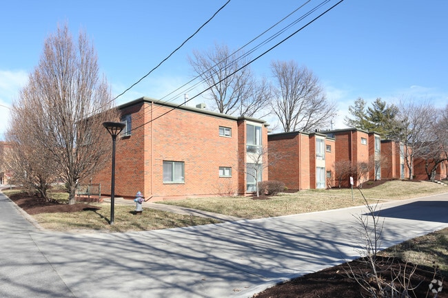
2012 W Ash St, Columbia, MO 65203


Property Detail
2012 W Ash St
16-220-00-00-005-00-01
LAND IN LIMITS NW PT W1/2 SW SE (TR 1 SUR 312-641) SUR 855-667 EXC PT FOR STREET
Gardenaptcourtapt5plusunits
Boone
R4
Missouri
B and X Area of moderate flood hazard, usually the area between the limits of the 100-year and 500-year floods.
10.98 AC
2025
Columbia/Jefferson City
2025
Other Market Areas
001300
Columbia, MO
56,430 SF
NEARBY LISTINGS FOR SALE OR LEASE
DEMOGRAPHICS near 2012 W Ash St
1 mile
3 mile
5 mile
2025 Total Population
9,077
65,449
121,116
2030 Population
9,507
67,948
125,474
Pop Growth 2025-2030
+ 4.74%
+ 3.82%
+ 3.60%
Average Age
39
36
36
2025 Total Households
4,519
25,785
49,094
HH Growth 2025-2030
+ 4.96%
+ 4.30%
+ 3.90%
Median Household Inc
$56,032
$61,345
$65,436
Avg Household Size
2.00
2.20
2.20
2025 Avg HH Vehicles
1.00
2.00
2.00
Median Home Value
$229,865
$279,299
$283,430
Median Year Built
1971
1985
1990
Nearby Places
Map Layers
Map Styles
 Street
 Aerial
Layers
 Traffic
 Biking
Places
Listings with unknown addresses are not visible on the map
- Restaurants
- Banks
- Shops
- Fitness
- Groceries
PUBLIC TRANSPORTATION
AIRPORT
Columbia Regional
Drive
Walk
Distance
Columbia Regional
23 min
15.8 mi
Freight Ports
Tulsa Port of Inola
Drive
Walk
Distance
Tulsa Port of Inola
384 min
338.5 mi
Nearby Properties
Address
Land Use
TOTAL SIZE
Lot Size
Zoning
Address
Land Use
TOTAL SIZE
Lot Size
Zoning
166,344 SF
33.80 AC
O1R3
Address
Land Use
TOTAL SIZE
Lot Size
Zoning
10,500 SF
23.53 AC
C3
Address
Land Use
TOTAL SIZE
Lot Size
Zoning
427,338 SF
31.01 AC
CP
Address
Land Use
TOTAL SIZE
Lot Size
Zoning
3,808 SF
0.39 AC
C2
Address
Land Use
TOTAL SIZE
Lot Size
Zoning
234,111 SF
2.27 AC
Address
Land Use
TOTAL SIZE
Lot Size
Zoning
159,169 SF
1.26 AC
R3
Address
Land Use
TOTAL SIZE
Lot Size
Zoning
60,098 SF
11.55 AC
R3
Address
Land Use
TOTAL SIZE
Lot Size
Zoning
134,625 SF
0.79 AC
C2
Address
Land Use
TOTAL SIZE
Lot Size
Zoning
45,750 SF
0.66 AC
R3
Address
Land Use
TOTAL SIZE
Lot Size
Zoning
61,250 SF
9.40 AC
C1
Address
Land Use
TOTAL SIZE
Lot Size
Zoning
181,262 SF
17.42 AC
Address
Land Use
TOTAL SIZE
Lot Size
Zoning
38,500 SF
3.10 AC
O1
Address
Land Use
TOTAL SIZE
Lot Size
Zoning
87,060 SF
0.37 AC
R3
Address
Land Use
TOTAL SIZE
Lot Size
Zoning
97,092 SF
1.56 AC
Address
Land Use
TOTAL SIZE
Lot Size
Zoning
82,970 SF
9.07 AC
C3
Address
Land Use
TOTAL SIZE
Lot Size
Zoning
136,448 SF
0.78 AC
C2
Address
Land Use
TOTAL SIZE
Lot Size
Zoning
191,918 SF
21.19 AC
C1
Address
Land Use
TOTAL SIZE
Lot Size
Zoning
17,589 SF
0.52 AC
C2
Address
Land Use
TOTAL SIZE
Lot Size
Zoning
159,568 SF
9.53 AC
Address
Land Use
TOTAL SIZE
Lot Size
Zoning
34,357 SF
15.59 AC
Address
Land Use
TOTAL SIZE
Lot Size
Zoning
20,098 SF
5.23 AC
OP
Address
Land Use
TOTAL SIZE
Lot Size
Zoning
34,707 SF
0.41 AC
R3
Address
Land Use
TOTAL SIZE
Lot Size
Zoning
35,436 SF
19.09 AC
Address
Land Use
TOTAL SIZE
Lot Size
Zoning
93,320 SF
0.50 AC
C2
Address
Land Use
TOTAL SIZE
Lot Size
Zoning
63,608 SF
6.89 AC
CP
Address
Land Use
TOTAL SIZE
Lot Size
Zoning
136,851 SF
2.23 AC
CP
Address
Land Use
TOTAL SIZE
Lot Size
Zoning
91,249 SF
11.66 AC
Address
Land Use
TOTAL SIZE
Lot Size
Zoning
159,984 SF
15.20 AC
R3
Address
Land Use
TOTAL SIZE
Lot Size
Zoning
115,194 SF
8.10 AC
C3
Address
Land Use
TOTAL SIZE
Lot Size
Zoning
25,578 SF
0.43 AC
C2
The World's #1 Commercial Real Estate Marketplace
Connect with us
© 2026 CoStar Group
The information above has been obtained from sources believed reliable. While we do not doubt its accuracy we have not verified it and make no guarantee, warranty or representation about it. It is your responsibility to independently confirm its accuracy and completeness. Any projections, opinions, assumptions, or estimates used are for example only and do not represent the current or future performance of the property. The value of this transaction to you depends on tax and other factors which should be evaluated by your tax, financial, and legal advisors. You and your advisors should conduct a careful, independent investigation of the property to determine to your satisfaction the suitability of the property for your needs.