Property Record
20133 Beach Rd, Plattsmouth, NE 68048

NEARBY LISTINGS FOR SALE OR LEASE
-
-
View all Plattsmouth listings for sale on LoopNet.com
Property Detail
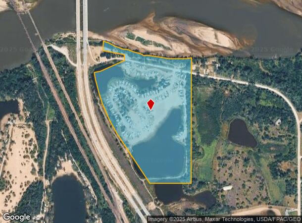
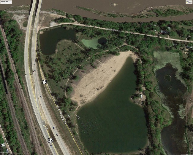
20133 Beach Rd
130167673
35-13-13 S PT GL4 EXC HWY NW1/4 (28.05)
Commercialnec
Cass
AE
Nebraska
31025C0120E
28.05 AC
2025
E Cass County
2025
Omaha/Council Bluffs
966100
Omaha, NE-IA
DEMOGRAPHICS near 20133 Beach Rd
1 mile
3 mile
5 mile
2024 Total Population
232
5,371
30,733
2029 Population
252
5,740
33,002
Pop Growth 2024-2029
+ 8.62%
+ 6.87%
+ 7.38%
Average Age
43
41
37
2024 Total Households
89
2,056
11,361
HH Growth 2024-2029
+ 7.87%
+ 6.91%
+ 7.34%
Median Household Inc
$94,999
$104,832
$88,230
Avg Household Size
2.50
2.60
2.60
2024 Avg HH Vehicles
2.00
2.00
2.00
Median Home Value
$364,285
$302,220
$250,744
Median Year Built
1983
1994
1993
Nearby Places
Map Layers
Map Styles
 Street
 Aerial
Transit
 Traffic
 Biking
Places
Listings with unknown addresses are not visible on the map
- Restaurants
- Banks
- Shops
- Fitness
- Groceries
PUBLIC TRANSPORTATION
AIRPORT
Eppley Airfield
Drive
Walk
Distance
Eppley Airfield
46 min
29.4 mi
Freight Ports
Tulsa Port Of Catoosa
Drive
Walk
Distance
Tulsa Port Of Catoosa
450 min
373.4 mi
SALE & LEASE HISTORY
LISTING DATE
SALE/LEASE

Aug 31, 2017
For Sale
Nearby Properties
Address
Land Use
TOTAL SIZE
Lot Size
Zoning
Address
Land Use
TOTAL SIZE
Lot Size
Zoning
141,620 SF
84.13 AC
ILM
Address
Land Use
TOTAL SIZE
Lot Size
Zoning
101,606 SF
5.01 AC
RG20
Address
Land Use
TOTAL SIZE
Lot Size
Zoning
4.75 AC
IGM
Address
Land Use
TOTAL SIZE
Lot Size
Zoning
12,425 SF
4.16 AC
03-COMMERC
Address
Land Use
TOTAL SIZE
Lot Size
Zoning
43.33 AC
RD50
Address
Land Use
TOTAL SIZE
Lot Size
Zoning
12,000 SF
2.95 AC
03-COMMERC
Address
Land Use
TOTAL SIZE
Lot Size
Zoning
10,000 SF
34.82 AC
04-INDUSTR
Address
Land Use
TOTAL SIZE
Lot Size
Zoning
5,001 SF
4.91 AC
Address
Land Use
TOTAL SIZE
Lot Size
Zoning
14,758 SF
43.38 AC
AG
Address
Land Use
TOTAL SIZE
Lot Size
Zoning
48,677 SF
0.74 AC
IL
Address
Land Use
TOTAL SIZE
Lot Size
Zoning
8,225 SF
11.99 AC
IL
Address
Land Use
TOTAL SIZE
Lot Size
Zoning
8,000 SF
12.95 AC
03-COMMERC
Address
Land Use
TOTAL SIZE
Lot Size
Zoning
4,438 SF
1.16 AC
03-COMMERC
Address
Land Use
TOTAL SIZE
Lot Size
Zoning
8,359 SF
5.07 AC
Address
Land Use
TOTAL SIZE
Lot Size
Zoning
24,000 SF
2.70 AC
IL
Address
Land Use
TOTAL SIZE
Lot Size
Zoning
864 SF
74.43 AC
RD50
Address
Land Use
TOTAL SIZE
Lot Size
Zoning
7,482 SF
10.01 AC
AG
Address
Land Use
TOTAL SIZE
Lot Size
Zoning
7.99 AC
Address
Land Use
TOTAL SIZE
Lot Size
Zoning
8,325 SF
4.77 AC
Address
Land Use
TOTAL SIZE
Lot Size
Zoning
7,945 SF
5.07 AC
Address
Land Use
TOTAL SIZE
Lot Size
Zoning
8,340 SF
4.82 AC
Address
Land Use
TOTAL SIZE
Lot Size
Zoning
14,760 SF
4.48 AC
BHS
Address
Land Use
TOTAL SIZE
Lot Size
Zoning
6,112 SF
10.08 AC
Address
Land Use
TOTAL SIZE
Lot Size
Zoning
7,458 SF
4.47 AC
Address
Land Use
TOTAL SIZE
Lot Size
Zoning
5,835 SF
3.71 AC
Address
Land Use
TOTAL SIZE
Lot Size
Zoning
5,494 SF
10 AC
AGD
Address
Land Use
TOTAL SIZE
Lot Size
Zoning
3,400 SF
160.19 AC
06-RECREAT
Address
Land Use
TOTAL SIZE
Lot Size
Zoning
6,253 SF
5.78 AC
AGR
Address
Land Use
TOTAL SIZE
Lot Size
Zoning
6,654 SF
4.61 AC
The World's #1 Commercial Real Estate Marketplace
Connect with us
© 2026 CoStar Group
The information above has been obtained from sources believed reliable. While we do not doubt its accuracy we have not verified it and make no guarantee, warranty or representation about it. It is your responsibility to independently confirm its accuracy and completeness. Any projections, opinions, assumptions, or estimates used are for example only and do not represent the current or future performance of the property. The value of this transaction to you depends on tax and other factors which should be evaluated by your tax, financial, and legal advisors. You and your advisors should conduct a careful, independent investigation of the property to determine to your satisfaction the suitability of the property for your needs.