Property Record
2015 W Washington St, Stayton, OR 97383

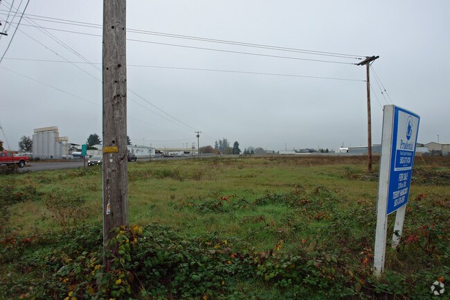

Property Detail
2015 W Washington St
Salem, OR
STAYTON INDUSTRIAL PARK IN STAYTON BLOCK 1 LOT 4 ACRES .85
104571
MARION
Commercialacreage
Oregon
CP
4
B and X Area of moderate flood hazard, usually the area between the limits of the 100-year and 500-year floods.
0.07 AC
2024
Marion County
2025
Portland
010701
NEARBY LISTINGS FOR SALE OR LEASE
DEMOGRAPHICS near 2015 W Washington St
1 mile
3 mile
5 mile
2025 Total Population
3,722
13,467
20,866
2030 Population
3,772
13,723
21,174
Pop Growth 2025-2030
+ 1.34%
+ 1.90%
+ 1.48%
Average Age
39
42
41
2025 Total Households
1,387
5,017
7,532
HH Growth 2025-2030
+ 1.51%
+ 2.07%
+ 1.66%
Median Household Inc
$62,705
$72,369
$77,243
Avg Household Size
2.70
2.60
2.70
2025 Avg HH Vehicles
2.00
2.00
2.00
Median Home Value
$400,461
$467,922
$460,043
Median Year Built
1977
1988
1988
Nearby Places
Map Layers
Map Styles
 Street
 Aerial
Transit
 Traffic
 Biking
Places
Listings with unknown addresses are not visible on the map
- Restaurants
- Banks
- Shops
- Fitness
- Groceries
SALE & LEASE HISTORY
LISTING DATE
SALE/LEASE

Sep 24, 2016
For Sale
Oct 06, 2016
For Sale
Oct 06, 2016
For Sale
Mar 14, 2017
For Sale
Jun 07, 2021
For Sale
Jan 31, 2017
For Sale
Jan 31, 2017
For Sale
Nearby Properties
Address
Land Use
TOTAL SIZE
Lot Size
Zoning
Address
Land Use
TOTAL SIZE
Lot Size
Zoning
110,833 SF
7.20 AC
P
Address
Land Use
TOTAL SIZE
Lot Size
Zoning
Address
Land Use
TOTAL SIZE
Lot Size
Zoning
Address
Land Use
TOTAL SIZE
Lot Size
Zoning
15.76 AC
IL
Address
Land Use
TOTAL SIZE
Lot Size
Zoning
103,745 SF
5.02 AC
HD; CG
Address
Land Use
TOTAL SIZE
Lot Size
Zoning
7.25 AC
IL
Address
Land Use
TOTAL SIZE
Lot Size
Zoning
549,542 SF
50.91 AC
IL; LD
Address
Land Use
TOTAL SIZE
Lot Size
Zoning
4 AC
P; R-1
Address
Land Use
TOTAL SIZE
Lot Size
Zoning
53,890 SF
3.27 AC
HD
Address
Land Use
TOTAL SIZE
Lot Size
Zoning
29,891 SF
10.75 AC
ID; P; AR
Address
Land Use
TOTAL SIZE
Lot Size
Zoning
32,552 SF
7.47 AC
P
Address
Land Use
TOTAL SIZE
Lot Size
Zoning
47,638 SF
7.48 AC
CG
Address
Land Use
TOTAL SIZE
Lot Size
Zoning
49,450 SF
1.20 AC
C
Address
Land Use
TOTAL SIZE
Lot Size
Zoning
42,969 SF
4.10 AC
CG
Address
Land Use
TOTAL SIZE
Lot Size
Zoning
35,837 SF
2.94 AC
C
Address
Land Use
TOTAL SIZE
Lot Size
Zoning
27,787 SF
2.19 AC
C
Address
Land Use
TOTAL SIZE
Lot Size
Zoning
174,640 SF
15 AC
IL
Address
Land Use
TOTAL SIZE
Lot Size
Zoning
32,488 SF
3 AC
C
Address
Land Use
TOTAL SIZE
Lot Size
Zoning
Address
Land Use
TOTAL SIZE
Lot Size
Zoning
27,060 SF
2.36 AC
MD
Address
Land Use
TOTAL SIZE
Lot Size
Zoning
21,704 SF
110.82 AC
UT-20
Address
Land Use
TOTAL SIZE
Lot Size
Zoning
39,168 SF
2.33 AC
HD
Address
Land Use
TOTAL SIZE
Lot Size
Zoning
25,566 SF
3.49 AC
P
Address
Land Use
TOTAL SIZE
Lot Size
Zoning
41,871 SF
3 AC
CG; CR
Address
Land Use
TOTAL SIZE
Lot Size
Zoning
8.22 AC
IL
Address
Land Use
TOTAL SIZE
Lot Size
Zoning
20,200 SF
6.05 AC
IL
Address
Land Use
TOTAL SIZE
Lot Size
Zoning
32,736 SF
1.92 AC
HD
Address
Land Use
TOTAL SIZE
Lot Size
Zoning
69,292 SF
8.36 AC
IL
Address
Land Use
TOTAL SIZE
Lot Size
Zoning
33,954 SF
1.59 AC
R-2
Address
Land Use
TOTAL SIZE
Lot Size
Zoning
The World's #1 Commercial Real Estate Marketplace
Connect with us
© 2026 CoStar Group
The information above has been obtained from sources believed reliable. While we do not doubt its accuracy we have not verified it and make no guarantee, warranty or representation about it. It is your responsibility to independently confirm its accuracy and completeness. Any projections, opinions, assumptions, or estimates used are for example only and do not represent the current or future performance of the property. The value of this transaction to you depends on tax and other factors which should be evaluated by your tax, financial, and legal advisors. You and your advisors should conduct a careful, independent investigation of the property to determine to your satisfaction the suitability of the property for your needs.