Property Record
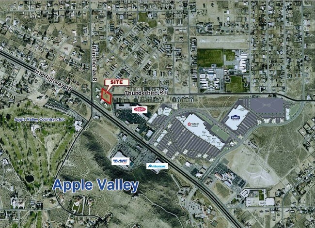
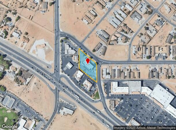
20154 Us Highway 18, Apple Valley, CA 92307
NEARBY LISTINGS FOR SALE OR LEASE
-
-
-
-
Yucca Loma Rd rd @ Apple Valley Rd
Apple Valley, CA 92307
$1,475,000 - $8,950,000
4.39 - 17.06 AC Lot
Land
-
-
-
-
View all Apple Valley listings for sale on LoopNet.com
Property Detail
20154 Us Highway 18
0441-301-03
Town Of Apple Valley
Autorepair
PARCEL MAP 15151 PARCEL 3 BOOK 185 PAGE 41 EX ST
X
San Bernardino
06071C5840H
California
2024
0.96 AC
2025
Mojave River Valley
009714
Inland Empire (California)
6,947 SF
Riverside-San Bernardino-Ontario, CA
DEMOGRAPHICS near 20154 Us Highway 18
1 Mile
3 Mile
5 Mile
2024 Total Population
6,185
40,717
98,859
2029 Population
6,271
41,326
101,290
Pop Growth 2024-2029
+ 1.39%
+ 1.50%
+ 2.46%
Average Age
34
38
38
2024 Total Households
2,000
13,259
32,787
HH Growth 2024-2029
+ 1.40%
+ 1.50%
+ 2.51%
Median Household Inc
$46,182
$78,638
$67,726
Avg Household Size
3.10
3.00
2.90
2024 Avg HH Vehicles
2.00
2.00
2.00
Median Home Value
$370,220
$384,855
$366,176
Median Year Built
1981
1984
1986
Nearby Places
Map Layers
Map Styles
 Street
 Aerial
- Restaurants
- Banks
- Shops
- Fitness
- Groceries
PUBLIC TRANSPORTATION
COMMUTER RAIL
Victorville Amtrak (Southwest Chief - Amtrak)
DRIVE
WALK
Distance
Victorville Amtrak (Southwest Chief - Amtrak)
7 min
4.5 mi
Freight Ports
Port of Long Beach
DRIVE
WALK
Distance
Port of Long Beach
123 min
103.4 mi
Nearby Properties
Address
Land Use
TOTAL SIZE
Lot Size
Zoning
Address
Land Use
TOTAL SIZE
Lot Size
Zoning
Address
Land Use
TOTAL SIZE
Lot Size
Zoning
172,153 SF
13.13 AC
Address
Land Use
TOTAL SIZE
Lot Size
Zoning
103,804 SF
14.32 AC
Address
Land Use
TOTAL SIZE
Lot Size
Zoning
57,365 SF
5.61 AC
Address
Land Use
TOTAL SIZE
Lot Size
Zoning
26,980 SF
2.50 AC
Address
Land Use
TOTAL SIZE
Lot Size
Zoning
27,455 SF
3.17 AC
Address
Land Use
TOTAL SIZE
Lot Size
Zoning
20,309 SF
2.35 AC
Address
Land Use
TOTAL SIZE
Lot Size
Zoning
Address
Land Use
TOTAL SIZE
Lot Size
Zoning
12,504 SF
2.97 AC
Address
Land Use
TOTAL SIZE
Lot Size
Zoning
42,078 SF
4.85 AC
AP
Address
Land Use
TOTAL SIZE
Lot Size
Zoning
29,042 SF
2.62 AC
Address
Land Use
TOTAL SIZE
Lot Size
Zoning
14,739 SF
1.38 AC
Address
Land Use
TOTAL SIZE
Lot Size
Zoning
49,851 SF
17.67 AC
Address
Land Use
TOTAL SIZE
Lot Size
Zoning
16,804 SF
1.80 AC
Address
Land Use
TOTAL SIZE
Lot Size
Zoning
5,394 SF
1.88 AC
Address
Land Use
TOTAL SIZE
Lot Size
Zoning
39,741 SF
3.68 AC
Address
Land Use
TOTAL SIZE
Lot Size
Zoning
15,408 SF
1.05 AC
Address
Land Use
TOTAL SIZE
Lot Size
Zoning
14,235 SF
1.15 AC
Address
Land Use
TOTAL SIZE
Lot Size
Zoning
610 AC
Address
Land Use
TOTAL SIZE
Lot Size
Zoning
2,618 SF
6.77 AC
Address
Land Use
TOTAL SIZE
Lot Size
Zoning
27,661 SF
2.36 AC
Address
Land Use
TOTAL SIZE
Lot Size
Zoning
138,827 SF
12.53 AC
Address
Land Use
TOTAL SIZE
Lot Size
Zoning
14,989 SF
1.42 AC
Address
Land Use
TOTAL SIZE
Lot Size
Zoning
19,328 SF
1.24 AC
Address
Land Use
TOTAL SIZE
Lot Size
Zoning
4,128 SF
0.99 AC
Address
Land Use
TOTAL SIZE
Lot Size
Zoning
28,929 SF
1.57 AC
Address
Land Use
TOTAL SIZE
Lot Size
Zoning
22,275 SF
2.27 AC
936
Address
Land Use
TOTAL SIZE
Lot Size
Zoning
3,500 SF
0.51 AC
Address
Land Use
TOTAL SIZE
Lot Size
Zoning
1.32 AC
936
Address
Land Use
TOTAL SIZE
Lot Size
Zoning
68,684 SF
1.55 AC
936
The World's #1 Commercial Real Estate Marketplace
Connect with us
© 2025 CoStar Group
The information above has been obtained from sources believed reliable. While we do not doubt its accuracy we have not verified it and make no guarantee, warranty or representation about it. It is your responsibility to independently confirm its accuracy and completeness. Any projections, opinions, assumptions, or estimates used are for example only and do not represent the current or future performance of the property. The value of this transaction to you depends on tax and other factors which should be evaluated by your tax, financial, and legal advisors. You and your advisors should conduct a careful, independent investigation of the property to determine to your satisfaction the suitability of the property for your needs.