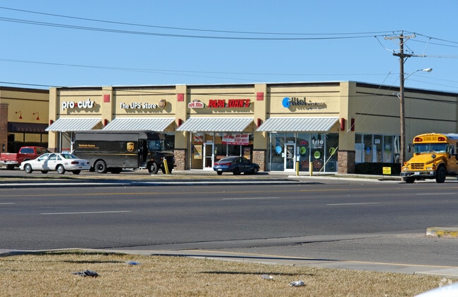
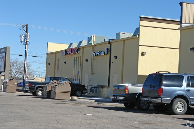
Property Record
2018 E 42Nd St, Odessa, TX 79762

Property Detail
2018 E 42Nd St
33200-00065-00000
VONWAY BLOCK 1 E 6.636 ACRES OF LOT 13 & W 20 OF LOT 5
Commercialnec
Ector
ED5
Texas
B and X Area of moderate flood hazard, usually the area between the limits of the 100-year and 500-year floods.
5,13
2025
6.68 AC
2025
Midland & Odessa
000400
Other Market Areas
81,810 SF
Odessa, TX
NEARBY LISTINGS FOR SALE OR LEASE
DEMOGRAPHICS near 2018 E 42Nd St
1 mile
3 mile
5 mile
2025 Total Population
15,599
68,930
129,086
2030 Population
16,466
73,363
138,328
Pop Growth 2025-2030
+ 5.56%
+ 6.43%
+ 7.16%
Average Age
35
35
35
2025 Total Households
5,981
25,652
47,151
HH Growth 2025-2030
+ 6.87%
+ 7.71%
+ 8.37%
Median Household Inc
$74,999
$68,813
$67,776
Avg Household Size
2.50
2.60
2.60
2025 Avg HH Vehicles
2.00
2.00
2.00
Median Home Value
$231,914
$196,685
$210,646
Median Year Built
1973
1973
1979
Nearby Places
Map Layers
Map Styles
 Street
 Aerial
Layers
 Traffic
 Biking
Places
Listings with unknown addresses are not visible on the map
- Restaurants
- Banks
- Shops
- Fitness
- Groceries
PUBLIC TRANSPORTATION
AIRPORT
Midland International Air And Space Port
Drive
Walk
Distance
Midland International Air And Space Port
18 min
12.0 mi
Freight Ports
Port of Corpus Christi
Drive
Walk
Distance
Port of Corpus Christi
508 min
487.7 mi
Nearby Properties
Address
Land Use
TOTAL SIZE
Lot Size
Zoning
Address
Land Use
TOTAL SIZE
Lot Size
Zoning
21,296 SF
541.62 AC
EF1
Address
Land Use
TOTAL SIZE
Lot Size
Zoning
Address
Land Use
TOTAL SIZE
Lot Size
Zoning
Address
Land Use
TOTAL SIZE
Lot Size
Zoning
22,304 SF
67.42 AC
EB4
Address
Land Use
TOTAL SIZE
Lot Size
Zoning
Address
Land Use
TOTAL SIZE
Lot Size
Zoning
54,990 SF
46.21 AC
ED5
Address
Land Use
TOTAL SIZE
Lot Size
Zoning
544,894 SF
20.41 AC
EF1
Address
Land Use
TOTAL SIZE
Lot Size
Zoning
Address
Land Use
TOTAL SIZE
Lot Size
Zoning
Address
Land Use
TOTAL SIZE
Lot Size
Zoning
Address
Land Use
TOTAL SIZE
Lot Size
Zoning
426,687 SF
81.50 AC
ES2
Address
Land Use
TOTAL SIZE
Lot Size
Zoning
159,239 SF
6.64 AC
EE1
Address
Land Use
TOTAL SIZE
Lot Size
Zoning
57,566 SF
Address
Land Use
TOTAL SIZE
Lot Size
Zoning
87,558 SF
62.63 AC
ED3
Address
Land Use
TOTAL SIZE
Lot Size
Zoning
2,268 SF
15.91 AC
EB2
Address
Land Use
TOTAL SIZE
Lot Size
Zoning
Address
Land Use
TOTAL SIZE
Lot Size
Zoning
124,185 SF
9.10 AC
ED3
Address
Land Use
TOTAL SIZE
Lot Size
Zoning
192,022 SF
8.83 AC
ED3
Address
Land Use
TOTAL SIZE
Lot Size
Zoning
80,722 SF
20.09 AC
ED3
Address
Land Use
TOTAL SIZE
Lot Size
Zoning
3,336 SF
11.21 AC
EF5
Address
Land Use
TOTAL SIZE
Lot Size
Zoning
197,580 SF
8.77 AC
ED3
Address
Land Use
TOTAL SIZE
Lot Size
Zoning
36,084 SF
18.99 AC
EF3
Address
Land Use
TOTAL SIZE
Lot Size
Zoning
Address
Land Use
TOTAL SIZE
Lot Size
Zoning
5,200 SF
7.16 AC
EF7
Address
Land Use
TOTAL SIZE
Lot Size
Zoning
Address
Land Use
TOTAL SIZE
Lot Size
Zoning
155,744 SF
49.20 AC
EA7
Address
Land Use
TOTAL SIZE
Lot Size
Zoning
99,244 SF
4.66 AC
EE1
Address
Land Use
TOTAL SIZE
Lot Size
Zoning
2,512 SF
7.47 AC
EF7
Address
Land Use
TOTAL SIZE
Lot Size
Zoning
7,236 SF
10.80 AC
ED3
Address
Land Use
TOTAL SIZE
Lot Size
Zoning
19,401 SF
20.70 AC
ES2
The World's #1 Commercial Real Estate Marketplace
Connect with us
© 2026 CoStar Group
The information above has been obtained from sources believed reliable. While we do not doubt its accuracy we have not verified it and make no guarantee, warranty or representation about it. It is your responsibility to independently confirm its accuracy and completeness. Any projections, opinions, assumptions, or estimates used are for example only and do not represent the current or future performance of the property. The value of this transaction to you depends on tax and other factors which should be evaluated by your tax, financial, and legal advisors. You and your advisors should conduct a careful, independent investigation of the property to determine to your satisfaction the suitability of the property for your needs.