Property Record
202 20Th St Se, Huron, SD 57350
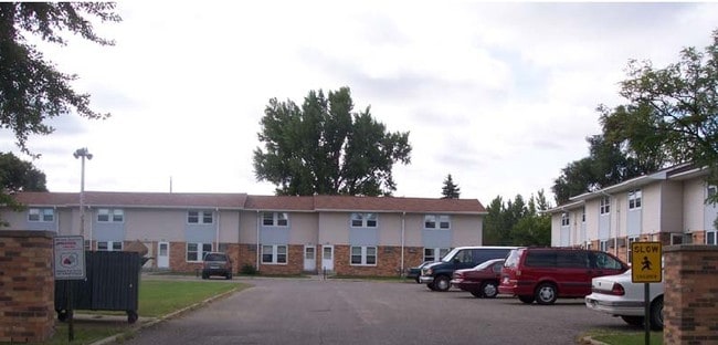


Property Detail
202 20Th St Se
Huron, SD
NA: TRACT P EXC S 165 & EXC N 30 OL 7-110-61
11008
Beadle
Commercialnec
South Dakota
C and X Area of minimal flood hazard, usually depicted on FIRMs as above the 500-year flood level.
1.48 AC
2024
South Dakota Area
2025
Other Market Areas
957100
NEARBY LISTINGS FOR SALE OR LEASE
-
-
View all Huron listings for sale on LoopNet.com
DEMOGRAPHICS near 202 20Th St Se
1 mile
3 mile
5 mile
2025 Total Population
6,767
15,269
15,844
2030 Population
6,844
15,572
16,163
Pop Growth 2025-2030
+ 1.14%
+ 1.98%
+ 2.01%
Average Age
38
38
38
2025 Total Households
2,604
5,912
6,133
HH Growth 2025-2030
+ 1.19%
+ 2.05%
+ 2.07%
Median Household Inc
$64,150
$57,999
$58,787
Avg Household Size
2.50
2.40
2.40
2025 Avg HH Vehicles
2.00
2.00
2.00
Median Home Value
$201,398
$178,540
$180,732
Median Year Built
1972
1966
1966
Nearby Places
Map Layers
Map Styles
 Street
 Aerial
Transit
 Traffic
 Biking
Places
Listings with unknown addresses are not visible on the map
- Restaurants
- Banks
- Shops
- Fitness
- Groceries
Nearby Properties
Address
Land Use
TOTAL SIZE
Lot Size
Zoning
Address
Land Use
TOTAL SIZE
Lot Size
Zoning
16.63 AC
Address
Land Use
TOTAL SIZE
Lot Size
Zoning
12.06 AC
Address
Land Use
TOTAL SIZE
Lot Size
Zoning
2.29 AC
Address
Land Use
TOTAL SIZE
Lot Size
Zoning
5.66 AC
Address
Land Use
TOTAL SIZE
Lot Size
Zoning
Address
Land Use
TOTAL SIZE
Lot Size
Zoning
3.95 AC
Address
Land Use
TOTAL SIZE
Lot Size
Zoning
9.46 AC
Address
Land Use
TOTAL SIZE
Lot Size
Zoning
2.72 AC
Address
Land Use
TOTAL SIZE
Lot Size
Zoning
11.23 AC
Address
Land Use
TOTAL SIZE
Lot Size
Zoning
8.40 AC
Address
Land Use
TOTAL SIZE
Lot Size
Zoning
2.28 AC
Address
Land Use
TOTAL SIZE
Lot Size
Zoning
Address
Land Use
TOTAL SIZE
Lot Size
Zoning
3.28 AC
Address
Land Use
TOTAL SIZE
Lot Size
Zoning
3.26 AC
Address
Land Use
TOTAL SIZE
Lot Size
Zoning
Address
Land Use
TOTAL SIZE
Lot Size
Zoning
Address
Land Use
TOTAL SIZE
Lot Size
Zoning
Address
Land Use
TOTAL SIZE
Lot Size
Zoning
7.25 AC
Address
Land Use
TOTAL SIZE
Lot Size
Zoning
8.08 AC
Address
Land Use
TOTAL SIZE
Lot Size
Zoning
2.07 AC
Address
Land Use
TOTAL SIZE
Lot Size
Zoning
Address
Land Use
TOTAL SIZE
Lot Size
Zoning
1.23 AC
Address
Land Use
TOTAL SIZE
Lot Size
Zoning
1.48 AC
Address
Land Use
TOTAL SIZE
Lot Size
Zoning
5.75 AC
Address
Land Use
TOTAL SIZE
Lot Size
Zoning
Address
Land Use
TOTAL SIZE
Lot Size
Zoning
20.69 AC
Address
Land Use
TOTAL SIZE
Lot Size
Zoning
2.70 AC
Address
Land Use
TOTAL SIZE
Lot Size
Zoning
9.74 AC
Address
Land Use
TOTAL SIZE
Lot Size
Zoning
8.75 AC
Address
Land Use
TOTAL SIZE
Lot Size
Zoning
2.03 AC
The World's #1 Commercial Real Estate Marketplace
Connect with us
© 2026 CoStar Group
The information above has been obtained from sources believed reliable. While we do not doubt its accuracy we have not verified it and make no guarantee, warranty or representation about it. It is your responsibility to independently confirm its accuracy and completeness. Any projections, opinions, assumptions, or estimates used are for example only and do not represent the current or future performance of the property. The value of this transaction to you depends on tax and other factors which should be evaluated by your tax, financial, and legal advisors. You and your advisors should conduct a careful, independent investigation of the property to determine to your satisfaction the suitability of the property for your needs.