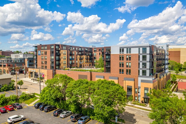
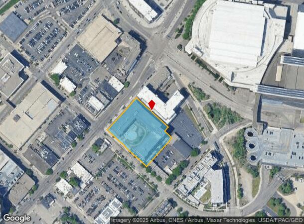
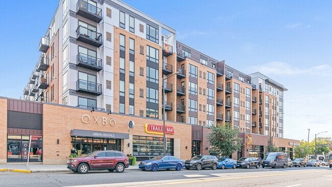
Property Record
202 7Th St W, Saint Paul, MN 55102
NEARBY LISTINGS FOR SALE OR LEASE
Property Detail
202 7Th St W
Minneapolis-St. Paul-Bloomington, MN-WI
Rice&Irvines Add B26-41&46-53
06-28-22-23-0179
RICE&IRVINES ADD B26-41&46-53 EX N 20 FT; LOTS 8 THRU 14 BLK 26 AND ...OF SD LOT 4 AND SD L THERE TERM
Apartment
Ramsey
X
Minnesota
27037C0050E
4,8-1
2024
1.46 AC
2025
West Seventh
036000
Minneapolis/St Paul
290,482 SF
DEMOGRAPHICS near 202 7Th St W
1 Mile
3 Mile
5 Mile
2024 Total Population
24,337
161,983
360,754
2029 Population
24,210
158,277
353,279
Pop Growth 2024-2029
(0.52%)
(2.29%)
(2.07%)
Average Age
41
37
37
2024 Total Households
13,461
64,726
143,499
HH Growth 2024-2029
(0.55%)
(2.28%)
(2.05%)
Median Household Inc
$60,147
$64,037
$66,788
Avg Household Size
1.70
2.30
2.40
2024 Avg HH Vehicles
1.00
2.00
2.00
Median Home Value
$296,099
$258,419
$276,928
Median Year Built
1967
1949
1957
Nearby Places
Map Layers
Map Styles
 Street
 Aerial
- Restaurants
- Banks
- Shops
- Fitness
- Groceries
PUBLIC TRANSPORTATION
TRANSIT/SUBWAY
10Th St Station (METRO Green Line - Metro Transit)
DRIVE
WALK
Distance
10Th St Station (METRO Green Line - Metro Transit)
3 min
13 min
0.7 mi
Central Station (METRO Green Line - Metro Transit)
DRIVE
WALK
Distance
Central Station (METRO Green Line - Metro Transit)
2 min
13 min
0.7 mi
Union Depot Crossing (METRO Green Line - Metro Transit)
DRIVE
WALK
Distance
Union Depot Crossing (METRO Green Line - Metro Transit)
2 min
16 min
0.9 mi
Robert St Station (METRO Green Line - Metro Transit)
DRIVE
WALK
Distance
Robert St Station (METRO Green Line - Metro Transit)
3 min
19 min
1.0 mi
Capitol / Rice St Station (METRO Green Line - Metro Transit)
DRIVE
WALK
Distance
Capitol / Rice St Station (METRO Green Line - Metro Transit)
3 min
19 min
1.0 mi
COMMUTER RAIL
St. Paul-Minneapolis (Empire Builder - Amtrak)
DRIVE
WALK
Distance
St. Paul-Minneapolis (Empire Builder - Amtrak)
3 min
19 min
1.0 mi
AIRPORT
Minneapolis-St Paul International/Wold-Chamberlain
DRIVE
WALK
Distance
Minneapolis-St Paul International/Wold-Chamberlain
14 min
8.7 mi
Freight Ports
Port Milwaukee
DRIVE
WALK
Distance
Port Milwaukee
363 min
330.2 mi
SALE & LEASE HISTORY
LISTING DATE
SALE/LEASE

Jul 17, 2017
For Lease
Feb 07, 2017
For Lease
Nearby Properties
Address
Land Use
TOTAL SIZE
Lot Size
Zoning
Address
Land Use
TOTAL SIZE
Lot Size
Zoning
384,515 SF
18.04 AC
Address
Land Use
TOTAL SIZE
Lot Size
Zoning
384,515 SF
1.33 AC
Address
Land Use
TOTAL SIZE
Lot Size
Zoning
582,896 SF
14 AC
Address
Land Use
TOTAL SIZE
Lot Size
Zoning
825,463 SF
7.04 AC
Address
Land Use
TOTAL SIZE
Lot Size
Zoning
63.12 AC
Address
Land Use
TOTAL SIZE
Lot Size
Zoning
646,900 SF
7.66 AC
Address
Land Use
TOTAL SIZE
Lot Size
Zoning
32,854 SF
5.55 AC
Address
Land Use
TOTAL SIZE
Lot Size
Zoning
18.24 AC
Address
Land Use
TOTAL SIZE
Lot Size
Zoning
408.23 AC
Address
Land Use
TOTAL SIZE
Lot Size
Zoning
420,177 SF
2.13 AC
Address
Land Use
TOTAL SIZE
Lot Size
Zoning
516,325 SF
16.81 AC
Address
Land Use
TOTAL SIZE
Lot Size
Zoning
759,622 SF
2.66 AC
Address
Land Use
TOTAL SIZE
Lot Size
Zoning
786,042 SF
2.10 AC
Address
Land Use
TOTAL SIZE
Lot Size
Zoning
643,305 SF
1.93 AC
Address
Land Use
TOTAL SIZE
Lot Size
Zoning
7.41 AC
Address
Land Use
TOTAL SIZE
Lot Size
Zoning
793,465 SF
1.93 AC
Address
Land Use
TOTAL SIZE
Lot Size
Zoning
329,070 SF
5.75 AC
Address
Land Use
TOTAL SIZE
Lot Size
Zoning
160,800 SF
5.05 AC
Address
Land Use
TOTAL SIZE
Lot Size
Zoning
393,443 SF
3.75 AC
Address
Land Use
TOTAL SIZE
Lot Size
Zoning
260,739 SF
3.04 AC
Address
Land Use
TOTAL SIZE
Lot Size
Zoning
445,437 SF
7.80 AC
Address
Land Use
TOTAL SIZE
Lot Size
Zoning
265,736 SF
6.67 AC
Address
Land Use
TOTAL SIZE
Lot Size
Zoning
3.13 AC
Address
Land Use
TOTAL SIZE
Lot Size
Zoning
455,628 SF
2.81 AC
Address
Land Use
TOTAL SIZE
Lot Size
Zoning
207.61 AC
Address
Land Use
TOTAL SIZE
Lot Size
Zoning
364,480 SF
8.33 AC
Address
Land Use
TOTAL SIZE
Lot Size
Zoning
444,819 SF
0.86 AC
Address
Land Use
TOTAL SIZE
Lot Size
Zoning
13.10 AC
Address
Land Use
TOTAL SIZE
Lot Size
Zoning
401,435 SF
1.92 AC
The World's #1 Commercial Real Estate Marketplace
Connect with us
© 2025 CoStar Group
The information above has been obtained from sources believed reliable. While we do not doubt its accuracy we have not verified it and make no guarantee, warranty or representation about it. It is your responsibility to independently confirm its accuracy and completeness. Any projections, opinions, assumptions, or estimates used are for example only and do not represent the current or future performance of the property. The value of this transaction to you depends on tax and other factors which should be evaluated by your tax, financial, and legal advisors. You and your advisors should conduct a careful, independent investigation of the property to determine to your satisfaction the suitability of the property for your needs.