Property Record
2020 Mansfield Webb Rd, Arlington, TX 76002
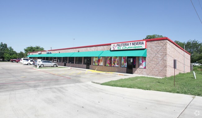


Property Detail
2020 Mansfield Webb Rd
03324737
WEBB, TOWN OF BLOCK 1
Commercialnec
TARRANT
B and X Area of moderate flood hazard, usually the area between the limits of the 100-year and 500-year floods.
Texas
2024
0.89 AC
2025
SE Outlying Tarrant
111562
Dallas/Ft Worth
11,000 SF
Dallas-Fort Worth-Arlington, TX
NEARBY LISTINGS FOR SALE OR LEASE
DEMOGRAPHICS near 2020 Mansfield Webb Rd
1 mile
3 mile
5 mile
2025 Total Population
12,750
111,450
275,771
2030 Population
13,345
116,505
289,215
Pop Growth 2025-2030
+ 4.67%
+ 4.54%
+ 4.88%
Average Age
36
36
37
2025 Total Households
3,833
34,136
88,715
HH Growth 2025-2030
+ 4.88%
+ 4.69%
+ 5.00%
Median Household Inc
$113,657
$100,865
$95,920
Avg Household Size
3.30
3.20
3.00
2025 Avg HH Vehicles
3.00
2.00
2.00
Median Home Value
$335,921
$329,753
$342,668
Median Year Built
2004
2001
1998
Nearby Places
Map Layers
Map Styles
 Street
 Aerial
Transit
 Traffic
 Biking
Places
Listings with unknown addresses are not visible on the map
- Restaurants
- Banks
- Shops
- Fitness
- Groceries
PUBLIC TRANSPORTATION
AIRPORT
Dallas-Fort Worth International
Drive
Walk
Distance
Dallas-Fort Worth International
30 min
20.9 mi
Dallas Love Field
Drive
Walk
Distance
Dallas Love Field
41 min
29.5 mi
Freight Ports
Port of Shreveport
Drive
Walk
Distance
Port of Shreveport
232 min
215.2 mi
SALE & LEASE HISTORY
LISTING DATE
SALE/LEASE

Sep 25, 2016
For Lease
Nearby Properties
Address
Land Use
TOTAL SIZE
Lot Size
Zoning
Address
Land Use
TOTAL SIZE
Lot Size
Zoning
399,570 SF
75.21 AC
Address
Land Use
TOTAL SIZE
Lot Size
Zoning
804,384 SF
48.38 AC
Address
Land Use
TOTAL SIZE
Lot Size
Zoning
1,114,563 SF
89.72 AC
Address
Land Use
TOTAL SIZE
Lot Size
Zoning
324,849 SF
13.52 AC
Address
Land Use
TOTAL SIZE
Lot Size
Zoning
453,257 SF
121.21 AC
Address
Land Use
TOTAL SIZE
Lot Size
Zoning
326,267 SF
13.11 AC
Address
Land Use
TOTAL SIZE
Lot Size
Zoning
352,649 SF
17.16 AC
Address
Land Use
TOTAL SIZE
Lot Size
Zoning
260,008 SF
139.37 AC
Address
Land Use
TOTAL SIZE
Lot Size
Zoning
419,875 SF
108.14 AC
Address
Land Use
TOTAL SIZE
Lot Size
Zoning
270,214 SF
17.85 AC
Address
Land Use
TOTAL SIZE
Lot Size
Zoning
821,502 SF
45.37 AC
Address
Land Use
TOTAL SIZE
Lot Size
Zoning
352,999 SF
60.81 AC
Address
Land Use
TOTAL SIZE
Lot Size
Zoning
315,359 SF
15 AC
Address
Land Use
TOTAL SIZE
Lot Size
Zoning
302,022 SF
15.37 AC
Address
Land Use
TOTAL SIZE
Lot Size
Zoning
193,680 SF
8.25 AC
Address
Land Use
TOTAL SIZE
Lot Size
Zoning
246,204 SF
15.16 AC
Address
Land Use
TOTAL SIZE
Lot Size
Zoning
258,908 SF
22.41 AC
Address
Land Use
TOTAL SIZE
Lot Size
Zoning
209,307 SF
15.34 AC
Address
Land Use
TOTAL SIZE
Lot Size
Zoning
77,038 SF
11.46 AC
Address
Land Use
TOTAL SIZE
Lot Size
Zoning
557,478 SF
28.73 AC
Address
Land Use
TOTAL SIZE
Lot Size
Zoning
165,539 SF
14.49 AC
Address
Land Use
TOTAL SIZE
Lot Size
Zoning
226,676 SF
9.83 AC
Address
Land Use
TOTAL SIZE
Lot Size
Zoning
376,297 SF
41.50 AC
Address
Land Use
TOTAL SIZE
Lot Size
Zoning
177,384 SF
28.68 AC
Address
Land Use
TOTAL SIZE
Lot Size
Zoning
437,500 SF
26.27 AC
Address
Land Use
TOTAL SIZE
Lot Size
Zoning
116,159 SF
7.13 AC
Address
Land Use
TOTAL SIZE
Lot Size
Zoning
427,622 SF
24.26 AC
Address
Land Use
TOTAL SIZE
Lot Size
Zoning
319,126 SF
16.68 AC
Address
Land Use
TOTAL SIZE
Lot Size
Zoning
365,000 SF
9.81 AC
Address
Land Use
TOTAL SIZE
Lot Size
Zoning
160,000 SF
37.89 AC
The World's #1 Commercial Real Estate Marketplace
Connect with us
© 2026 CoStar Group
The information above has been obtained from sources believed reliable. While we do not doubt its accuracy we have not verified it and make no guarantee, warranty or representation about it. It is your responsibility to independently confirm its accuracy and completeness. Any projections, opinions, assumptions, or estimates used are for example only and do not represent the current or future performance of the property. The value of this transaction to you depends on tax and other factors which should be evaluated by your tax, financial, and legal advisors. You and your advisors should conduct a careful, independent investigation of the property to determine to your satisfaction the suitability of the property for your needs.