Property Record
20220 Jefferson Blvd, Hagerstown, MD 21742


NEARBY LISTINGS FOR SALE OR LEASE
-
-
View all Hagerstown listings for sale on LoopNet.com
Property Detail
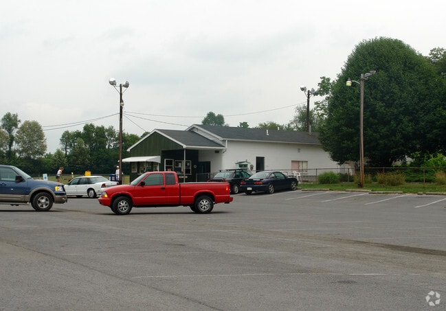
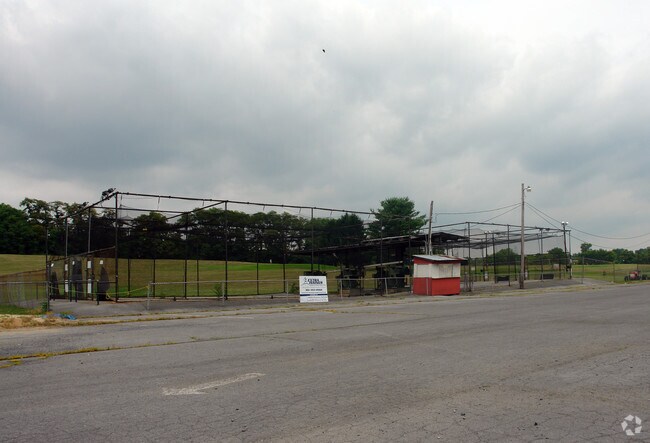
20220 Jefferson Blvd
18-022958
Grier David
Warehouse
33.25 ACRS REM E/S TROVINGER MILL RD
AE
Washington
24043C0143D
Maryland
2024
33.25 AC
2025
Washington County
011203
Washington, DC
917 SF
Hagerstown-Martinsburg, MD-WV
DEMOGRAPHICS near 20220 Jefferson Blvd
1 Mile
3 Mile
5 Mile
2024 Total Population
2,892
38,374
83,524
2029 Population
2,922
38,981
84,631
Pop Growth 2024-2029
+ 1.04%
+ 1.58%
+ 1.33%
Average Age
40
40
40
2024 Total Households
1,097
15,687
33,514
HH Growth 2024-2029
+ 1.19%
+ 1.68%
+ 1.37%
Median Household Inc
$83,519
$51,299
$57,097
Avg Household Size
2.60
2.40
2.40
2024 Avg HH Vehicles
2.00
2.00
2.00
Median Home Value
$270,270
$227,468
$220,892
Median Year Built
1979
1972
1971
Nearby Places
Map Layers
Map Styles
 Street
 Aerial
- Restaurants
- Banks
- Shops
- Fitness
- Groceries
PUBLIC TRANSPORTATION
AIRPORT
Hagerstown Regional/Richard A Henson Field
DRIVE
WALK
Distance
Hagerstown Regional/Richard A Henson Field
15 min
7.2 mi
SALE & LEASE HISTORY
LISTING DATE
SALE/LEASE

Sep 24, 2016
For Sale
Nearby Properties
Address
Land Use
TOTAL SIZE
Lot Size
Zoning
Address
Land Use
TOTAL SIZE
Lot Size
Zoning
502,262 SF
36.64 AC
ORI
Address
Land Use
TOTAL SIZE
Lot Size
Zoning
1,236,085 SF
134.31 AC
IMU
Address
Land Use
TOTAL SIZE
Lot Size
Zoning
77,027 SF
310.67 AC
ERT
Address
Land Use
TOTAL SIZE
Lot Size
Zoning
200,815 SF
9.14 AC
ORI
Address
Land Use
TOTAL SIZE
Lot Size
Zoning
216 SF
52.93 AC
RH
Address
Land Use
TOTAL SIZE
Lot Size
Zoning
151,660 SF
56.24 AC
RMOD
Address
Land Use
TOTAL SIZE
Lot Size
Zoning
77,934 SF
12.79 AC
RMED
Address
Land Use
TOTAL SIZE
Lot Size
Zoning
82,403 SF
1.32 AC
CCMU
Address
Land Use
TOTAL SIZE
Lot Size
Zoning
290,600 SF
51.35 AC
IMU
Address
Land Use
TOTAL SIZE
Lot Size
Zoning
7,427 SF
79.25 AC
RS
Address
Land Use
TOTAL SIZE
Lot Size
Zoning
94,185 SF
9.25 AC
RMED
Address
Land Use
TOTAL SIZE
Lot Size
Zoning
88,116 SF
18.44 AC
RMOD
Address
Land Use
TOTAL SIZE
Lot Size
Zoning
71,928 SF
24.77 AC
RMOD
Address
Land Use
TOTAL SIZE
Lot Size
Zoning
67,434 SF
4.30 AC
RS
Address
Land Use
TOTAL SIZE
Lot Size
Zoning
80,816 SF
19.68 AC
ORI
Address
Land Use
TOTAL SIZE
Lot Size
Zoning
17,574 SF
13.98 AC
RH
Address
Land Use
TOTAL SIZE
Lot Size
Zoning
23,086 SF
19.36 AC
CR
Address
Land Use
TOTAL SIZE
Lot Size
Zoning
3,159 SF
14.99 AC
CR
Address
Land Use
TOTAL SIZE
Lot Size
Zoning
198 SF
7.04 AC
RH
Address
Land Use
TOTAL SIZE
Lot Size
Zoning
18,799 SF
0.75 AC
CCMU
Address
Land Use
TOTAL SIZE
Lot Size
Zoning
54,843 SF
3.08 AC
POM
Address
Land Use
TOTAL SIZE
Lot Size
Zoning
272,643 SF
5.22 AC
RH
Address
Land Use
TOTAL SIZE
Lot Size
Zoning
31,816 SF
0.47 AC
CCMU
Address
Land Use
TOTAL SIZE
Lot Size
Zoning
56,400 SF
0.27 AC
CCMU
Address
Land Use
TOTAL SIZE
Lot Size
Zoning
1,516 SF
9.39 AC
CG
Address
Land Use
TOTAL SIZE
Lot Size
Zoning
1,152 SF
27.83 AC
U
Address
Land Use
TOTAL SIZE
Lot Size
Zoning
7,273 SF
146.87 AC
AR
Address
Land Use
TOTAL SIZE
Lot Size
Zoning
4,180 SF
244.75 AC
RT
Address
Land Use
TOTAL SIZE
Lot Size
Zoning
52,443 SF
2.19 AC
RH
Address
Land Use
TOTAL SIZE
Lot Size
Zoning
61,343 SF
3.73 AC
CG
The World's #1 Commercial Real Estate Marketplace
Connect with us
© 2025 CoStar Group
The information above has been obtained from sources believed reliable. While we do not doubt its accuracy we have not verified it and make no guarantee, warranty or representation about it. It is your responsibility to independently confirm its accuracy and completeness. Any projections, opinions, assumptions, or estimates used are for example only and do not represent the current or future performance of the property. The value of this transaction to you depends on tax and other factors which should be evaluated by your tax, financial, and legal advisors. You and your advisors should conduct a careful, independent investigation of the property to determine to your satisfaction the suitability of the property for your needs.