Property Record
20255 N 59Th Ave, Glendale, AZ 85308


Property Detail
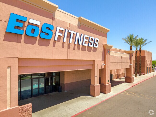
20255 N 59Th Ave
200-23-940
TH POR SW4 SEC 20 DAF COM SW COR SD SEC 20 TH N 288.52F TO PT TH E TO TPOB TH N 28F TH E 182.50F TH N 248.55F TH W 182.50F TO PT ON ELY R/W LN 59TH AVE TH N 36.01F TH E 488.99F TH S 77.75F TH E 138.52 F TH N 122.75F TH E 16.07F TO PT ON WLY BDRY LN F
Regionalshoppingcenterormallwithanchorstore
Maricopa
C-R
Arizona
C and X Area of minimal flood hazard, usually depicted on FIRMs as above the 500-year flood level.
5.78 AC
2025
Ctrl Peoria/Arrowhead
2025
Phoenix
614300
Phoenix-Mesa-Chandler, AZ
50,352 SF
NEARBY LISTINGS FOR SALE OR LEASE
DEMOGRAPHICS near 20255 N 59Th Ave
1 mile
3 mile
5 mile
2025 Total Population
11,503
92,049
268,475
2030 Population
11,913
94,862
277,397
Pop Growth 2025-2030
+ 3.56%
+ 3.06%
+ 3.32%
Average Age
42
41
41
2025 Total Households
4,468
34,371
100,923
HH Growth 2025-2030
+ 3.54%
+ 3.11%
+ 3.40%
Median Household Inc
$115,517
$105,704
$97,112
Avg Household Size
2.40
2.60
2.60
2025 Avg HH Vehicles
2.00
2.00
2.00
Median Home Value
$645,181
$488,274
$468,586
Median Year Built
1995
1992
1992
Nearby Places
Map Layers
Map Styles
 Street
 Aerial
Layers
 Traffic
 Biking
Places
Listings with unknown addresses are not visible on the map
- Restaurants
- Banks
- Shops
- Fitness
- Groceries
PUBLIC TRANSPORTATION
AIRPORT
Phoenix Sky Harbor International
Drive
Walk
Distance
Phoenix Sky Harbor International
39 min
27.0 mi
SALE & LEASE HISTORY
LISTING DATE
SALE/LEASE

Jul 05, 2017
For Lease
Aug 03, 2017
For Lease
Apr 10, 2017
For Lease
Nearby Properties
Address
Land Use
TOTAL SIZE
Lot Size
Zoning
Address
Land Use
TOTAL SIZE
Lot Size
Zoning
45,900 SF
11.09 AC
PAD
Address
Land Use
TOTAL SIZE
Lot Size
Zoning
1,360,424 SF
88.31 AC
C-BP
Address
Land Use
TOTAL SIZE
Lot Size
Zoning
7,916 SF
5.26 AC
C-C
Address
Land Use
TOTAL SIZE
Lot Size
Zoning
53,813 SF
1,286.11 AC
Address
Land Use
TOTAL SIZE
Lot Size
Zoning
812,333 SF
31.75 AC
SR-30
Address
Land Use
TOTAL SIZE
Lot Size
Zoning
4,500 SF
13.50 AC
PAD
Address
Land Use
TOTAL SIZE
Lot Size
Zoning
284,223 SF
10.02 AC
C-C
Address
Land Use
TOTAL SIZE
Lot Size
Zoning
360,026 SF
74.94 AC
R-6
Address
Land Use
TOTAL SIZE
Lot Size
Zoning
0.47 AC
Address
Land Use
TOTAL SIZE
Lot Size
Zoning
399,561 SF
16.30 AC
Address
Land Use
TOTAL SIZE
Lot Size
Zoning
291,137 SF
38.49 AC
AG
Address
Land Use
TOTAL SIZE
Lot Size
Zoning
226,169 SF
20.48 AC
Address
Land Use
TOTAL SIZE
Lot Size
Zoning
133,377 SF
17.52 AC
PAD
Address
Land Use
TOTAL SIZE
Lot Size
Zoning
89,875 SF
72.52 AC
R-43AG
Address
Land Use
TOTAL SIZE
Lot Size
Zoning
280,356 SF
12.73 AC
PAD
Address
Land Use
TOTAL SIZE
Lot Size
Zoning
440,494 SF
26.25 AC
PAD
Address
Land Use
TOTAL SIZE
Lot Size
Zoning
392,885 SF
17.67 AC
M-H
Address
Land Use
TOTAL SIZE
Lot Size
Zoning
126,781 SF
10.06 AC
C-C
Address
Land Use
TOTAL SIZE
Lot Size
Zoning
344,908 SF
20.69 AC
C-C
Address
Land Use
TOTAL SIZE
Lot Size
Zoning
126,814 SF
31.56 AC
R17
Address
Land Use
TOTAL SIZE
Lot Size
Zoning
244,979 SF
35.16 AC
C-BP
Address
Land Use
TOTAL SIZE
Lot Size
Zoning
200,658 SF
23.14 AC
C-BP
Address
Land Use
TOTAL SIZE
Lot Size
Zoning
127,100 SF
3.57 AC
PAD
Address
Land Use
TOTAL SIZE
Lot Size
Zoning
96,016 SF
4.47 AC
PAD
Address
Land Use
TOTAL SIZE
Lot Size
Zoning
187,392 SF
10.36 AC
PAD
Address
Land Use
TOTAL SIZE
Lot Size
Zoning
102,816 SF
35.12 AC
AG
Address
Land Use
TOTAL SIZE
Lot Size
Zoning
96,954 SF
13.47 AC
PAD
Address
Land Use
TOTAL SIZE
Lot Size
Zoning
127,616 SF
27.49 AC
PAD
Address
Land Use
TOTAL SIZE
Lot Size
Zoning
209,546 SF
14.65 AC
M-M
The World's #1 Commercial Real Estate Marketplace
Connect with us
© 2026 CoStar Group
The information above has been obtained from sources believed reliable. While we do not doubt its accuracy we have not verified it and make no guarantee, warranty or representation about it. It is your responsibility to independently confirm its accuracy and completeness. Any projections, opinions, assumptions, or estimates used are for example only and do not represent the current or future performance of the property. The value of this transaction to you depends on tax and other factors which should be evaluated by your tax, financial, and legal advisors. You and your advisors should conduct a careful, independent investigation of the property to determine to your satisfaction the suitability of the property for your needs.