Property Record
2028 E Memorial Rd, Edmond, OK 73013


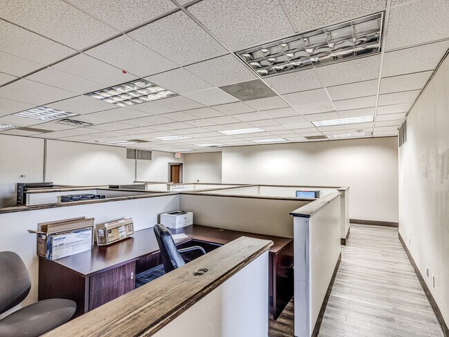
Current Lease Availabilities
Property Detail
2028 E Memorial Rd
140351815
UNPLTD PT SEC 13 13N 3W 000 000 PT NW4 SEC 13 13N 3W BEG 50FT S & 250FT E OF NW/C NW4 TH E222FT S240FT W222FT N240FT TO BEG CONT 1.22ACRS MORE OR LESS
Taxexempt
OKLAHOMA
PUD
Oklahoma
B and X Area of moderate flood hazard, usually the area between the limits of the 100-year and 500-year floods.
1.22 AC
0
Edmond
2025
Oklahoma City
108302
Oklahoma City, OK
13,101 SF
NEARBY LISTINGS FOR SALE OR LEASE
DEMOGRAPHICS near 2028 E Memorial Rd
1 mile
3 mile
5 mile
2025 Total Population
8,770
45,052
147,077
2030 Population
8,878
45,628
149,779
Pop Growth 2025-2030
+ 1.23%
+ 1.28%
+ 1.84%
Average Age
36
38
38
2025 Total Households
3,562
18,068
60,892
HH Growth 2025-2030
+ 1.38%
+ 1.48%
+ 2.10%
Median Household Inc
$77,634
$85,135
$77,014
Avg Household Size
2.10
2.40
2.30
2025 Avg HH Vehicles
2.00
2.00
2.00
Median Home Value
$289,213
$293,584
$283,916
Median Year Built
1993
1987
1988
Nearby Places
Map Layers
Map Styles
 Street
 Aerial
Layers
 Traffic
 Biking
Places
Listings with unknown addresses are not visible on the map
- Restaurants
- Banks
- Shops
- Fitness
- Groceries
PUBLIC TRANSPORTATION
AIRPORT
Will Rogers World
Drive
Walk
Distance
Will Rogers World
31 min
21.4 mi
Nearby Properties
Address
Land Use
TOTAL SIZE
Lot Size
Zoning
Address
Land Use
TOTAL SIZE
Lot Size
Zoning
242,907 SF
I-2
Address
Land Use
TOTAL SIZE
Lot Size
Zoning
469,063 SF
71.44 AC
I-2
Address
Land Use
TOTAL SIZE
Lot Size
Zoning
268,796 SF
45.68 AC
I-2
Address
Land Use
TOTAL SIZE
Lot Size
Zoning
399,688 SF
80.57 AC
PUD
Address
Land Use
TOTAL SIZE
Lot Size
Zoning
32.33 AC
Address
Land Use
TOTAL SIZE
Lot Size
Zoning
285,136 SF
13.04 AC
PUD
Address
Land Use
TOTAL SIZE
Lot Size
Zoning
470,139 SF
80.39 AC
I-2
Address
Land Use
TOTAL SIZE
Lot Size
Zoning
225,492 SF
11.86 AC
R-4
Address
Land Use
TOTAL SIZE
Lot Size
Zoning
43,489 SF
14.86 AC
PUD
Address
Land Use
TOTAL SIZE
Lot Size
Zoning
574,062 SF
53.69 AC
I-2
Address
Land Use
TOTAL SIZE
Lot Size
Zoning
242,196 SF
14.07 AC
Address
Land Use
TOTAL SIZE
Lot Size
Zoning
265,194 SF
13.67 AC
Address
Land Use
TOTAL SIZE
Lot Size
Zoning
234,208 SF
8.61 AC
PUD
Address
Land Use
TOTAL SIZE
Lot Size
Zoning
221,364 SF
12.09 AC
Address
Land Use
TOTAL SIZE
Lot Size
Zoning
138,774 SF
14.63 AC
Address
Land Use
TOTAL SIZE
Lot Size
Zoning
82,162 SF
6.13 AC
Address
Land Use
TOTAL SIZE
Lot Size
Zoning
167,664 SF
14.14 AC
Address
Land Use
TOTAL SIZE
Lot Size
Zoning
316,358 SF
39.39 AC
PUD
Address
Land Use
TOTAL SIZE
Lot Size
Zoning
570,717 SF
44 AC
I-2
Address
Land Use
TOTAL SIZE
Lot Size
Zoning
51,176 SF
23.24 AC
PUD
Address
Land Use
TOTAL SIZE
Lot Size
Zoning
68,548 SF
6.90 AC
I-2
Address
Land Use
TOTAL SIZE
Lot Size
Zoning
59,307 SF
3.75 AC
PUD
Address
Land Use
TOTAL SIZE
Lot Size
Zoning
113,781 SF
14.06 AC
PUD
Address
Land Use
TOTAL SIZE
Lot Size
Zoning
174,247 SF
9.41 AC
I-2
Address
Land Use
TOTAL SIZE
Lot Size
Zoning
148,620 SF
15.78 AC
PUD
Address
Land Use
TOTAL SIZE
Lot Size
Zoning
154,716 SF
15.12 AC
PUD
Address
Land Use
TOTAL SIZE
Lot Size
Zoning
132,226 SF
11.89 AC
Address
Land Use
TOTAL SIZE
Lot Size
Zoning
53,067 SF
5.55 AC
PUD
Address
Land Use
TOTAL SIZE
Lot Size
Zoning
64,296 SF
8.43 AC
The World's #1 Commercial Real Estate Marketplace
Connect with us
© 2026 CoStar Group
The information above has been obtained from sources believed reliable. While we do not doubt its accuracy we have not verified it and make no guarantee, warranty or representation about it. It is your responsibility to independently confirm its accuracy and completeness. Any projections, opinions, assumptions, or estimates used are for example only and do not represent the current or future performance of the property. The value of this transaction to you depends on tax and other factors which should be evaluated by your tax, financial, and legal advisors. You and your advisors should conduct a careful, independent investigation of the property to determine to your satisfaction the suitability of the property for your needs.