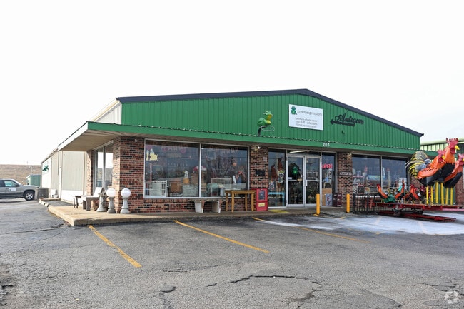
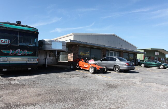
Property Record
203 W Dennis Ave, Olathe, KS 66061

Property Detail
203 W Dennis Ave
DP42000000-0002
L-P GAS SUBDIVISION LT 2 OLC 386A 2
Storebuilding
Johnson
M-2
Kansas
B and X Area of moderate flood hazard, usually the area between the limits of the 100-year and 500-year floods.
2
2025
0.80 AC
2025
South Johnson County
053557
Kansas City
8,400 SF
Kansas City, MO-KS
NEARBY LISTINGS FOR SALE OR LEASE
DEMOGRAPHICS near 203 W Dennis Ave
1 mile
3 mile
5 mile
2025 Total Population
7,222
76,644
149,366
2030 Population
7,444
78,680
154,386
Pop Growth 2025-2030
+ 3.07%
+ 2.66%
+ 3.36%
Average Age
37
37
38
2025 Total Households
2,782
26,830
52,545
HH Growth 2025-2030
+ 3.27%
+ 2.83%
+ 3.49%
Median Household Inc
$49,999
$96,958
$111,330
Avg Household Size
2.40
2.70
2.70
2025 Avg HH Vehicles
2.00
2.00
2.00
Median Home Value
$235,553
$316,527
$362,034
Median Year Built
1963
1985
1994
Nearby Places
Map Layers
Map Styles
 Street
 Aerial
Layers
 Traffic
 Biking
Places
Listings with unknown addresses are not visible on the map
- Restaurants
- Banks
- Shops
- Fitness
- Groceries
PUBLIC TRANSPORTATION
AIRPORT
Kansas City International
Drive
Walk
Distance
Kansas City International
50 min
39.7 mi
Nearby Properties
Address
Land Use
TOTAL SIZE
Lot Size
Zoning
Address
Land Use
TOTAL SIZE
Lot Size
Zoning
401,604 SF
28.35 AC
CP-O
Address
Land Use
TOTAL SIZE
Lot Size
Zoning
356,910 SF
50.52 AC
RP-4
Address
Land Use
TOTAL SIZE
Lot Size
Zoning
307,761 SF
6.59 AC
C-2
Address
Land Use
TOTAL SIZE
Lot Size
Zoning
512,643 SF
75.55 AC
AG
Address
Land Use
TOTAL SIZE
Lot Size
Zoning
97,340 SF
1.82 AC
C-2
Address
Land Use
TOTAL SIZE
Lot Size
Zoning
456,742 SF
27.31 AC
R-1
Address
Land Use
TOTAL SIZE
Lot Size
Zoning
211,054 SF
72.40 AC
R-1
Address
Land Use
TOTAL SIZE
Lot Size
Zoning
720,320 SF
39.19 AC
MP-2
Address
Land Use
TOTAL SIZE
Lot Size
Zoning
130,576 SF
15.20 AC
RP-4
Address
Land Use
TOTAL SIZE
Lot Size
Zoning
5,355 SF
0.87 AC
431.AS
Address
Land Use
TOTAL SIZE
Lot Size
Zoning
66,664 SF
2.94 AC
C-2
Address
Land Use
TOTAL SIZE
Lot Size
Zoning
195,167 SF
15.55 AC
R-1
Address
Land Use
TOTAL SIZE
Lot Size
Zoning
508,664 SF
29.46 AC
MP-2
Address
Land Use
TOTAL SIZE
Lot Size
Zoning
499,084 SF
28.99 AC
RUR
Address
Land Use
TOTAL SIZE
Lot Size
Zoning
934,502 SF
34.09 AC
BP
Address
Land Use
TOTAL SIZE
Lot Size
Zoning
177,274 SF
2.69 AC
C-2
Address
Land Use
TOTAL SIZE
Lot Size
Zoning
146,401 SF
7.68 AC
C-1
Address
Land Use
TOTAL SIZE
Lot Size
Zoning
251,981 SF
10.79 AC
R-5
Address
Land Use
TOTAL SIZE
Lot Size
Zoning
137,955 SF
23.80 AC
R-1
Address
Land Use
TOTAL SIZE
Lot Size
Zoning
129,325 SF
4.50 AC
R-1
Address
Land Use
TOTAL SIZE
Lot Size
Zoning
236,108 SF
12.38 AC
R-1
Address
Land Use
TOTAL SIZE
Lot Size
Zoning
53,359 SF
41.55 AC
R-1
Address
Land Use
TOTAL SIZE
Lot Size
Zoning
19,460 SF
9.12 AC
R-1
Address
Land Use
TOTAL SIZE
Lot Size
Zoning
188,944 SF
31.48 AC
R-1
Address
Land Use
TOTAL SIZE
Lot Size
Zoning
44,486 SF
2.70 AC
C-2
Address
Land Use
TOTAL SIZE
Lot Size
Zoning
61,479 SF
8.14 AC
C-2
Address
Land Use
TOTAL SIZE
Lot Size
Zoning
228,577 SF
17.11 AC
M-2
Address
Land Use
TOTAL SIZE
Lot Size
Zoning
157,344 SF
12.69 AC
R-1
Address
Land Use
TOTAL SIZE
Lot Size
Zoning
44,486 SF
3.05 AC
C-2
Address
Land Use
TOTAL SIZE
Lot Size
Zoning
75,560 SF
32.62 AC
CTY RUR
The World's #1 Commercial Real Estate Marketplace
Connect with us
© 2026 CoStar Group
The information above has been obtained from sources believed reliable. While we do not doubt its accuracy we have not verified it and make no guarantee, warranty or representation about it. It is your responsibility to independently confirm its accuracy and completeness. Any projections, opinions, assumptions, or estimates used are for example only and do not represent the current or future performance of the property. The value of this transaction to you depends on tax and other factors which should be evaluated by your tax, financial, and legal advisors. You and your advisors should conduct a careful, independent investigation of the property to determine to your satisfaction the suitability of the property for your needs.