Property Record
2032 Thomasville Rd, Tallahassee, FL 32308


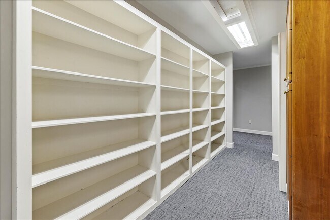
Current Lease Availabilities
NEARBY LISTINGS FOR SALE OR LEASE
Property Detail
2032 Thomasville Rd
Tallahassee, FL
Unplatted Land
11-19-20-406-000.0
19 1N 1E IN SE 1/4 (BETWEEN LOTS 52 & 54 BLK A GLENDALE ESTATES OR 1205/968 2095/1984 1987
Officebuilding
Leon
X
Florida
12073C0282F
52,54
2025
0.69 AC
2025
NE Tallahassee
000800
Tallahassee
10,593 SF
DEMOGRAPHICS near 2032 Thomasville Rd
1 Mile
3 Mile
5 Mile
2024 Total Population
7,970
81,094
178,120
2029 Population
8,402
84,886
186,745
Pop Growth 2024-2029
+ 5.42%
+ 4.68%
+ 4.84%
Average Age
40
36
35
2024 Total Households
3,822
36,407
77,542
HH Growth 2024-2029
+ 5.55%
+ 5.05%
+ 5.07%
Median Household Inc
$66,950
$50,144
$49,617
Avg Household Size
2.00
2.00
2.10
2024 Avg HH Vehicles
2.00
2.00
2.00
Median Home Value
$359,725
$254,030
$239,562
Median Year Built
1971
1982
1984
Nearby Places
Map Layers
Map Styles
 Street
 Aerial
- Restaurants
- Banks
- Shops
- Fitness
- Groceries
PUBLIC TRANSPORTATION
AIRPORT
Tallahassee International
DRIVE
WALK
Distance
Tallahassee International
21 min
9.5 mi
Nearby Properties
Address
Land Use
TOTAL SIZE
Lot Size
Zoning
Address
Land Use
TOTAL SIZE
Lot Size
Zoning
1,635,322 SF
29.76 AC
UT
Address
Land Use
TOTAL SIZE
Lot Size
Zoning
6,686,582 SF
86.50 AC
UT
Address
Land Use
TOTAL SIZE
Lot Size
Zoning
4,577,528 SF
108.47 AC
UT
Address
Land Use
TOTAL SIZE
Lot Size
Zoning
3,647,358 SF
49.17 AC
UT
Address
Land Use
TOTAL SIZE
Lot Size
Zoning
3,882,850 SF
22.64 AC
CM
Address
Land Use
TOTAL SIZE
Lot Size
Zoning
2,312,757 SF
10.87 AC
CCPD
Address
Land Use
TOTAL SIZE
Lot Size
Zoning
479,864 SF
19.01 AC
DI
Address
Land Use
TOTAL SIZE
Lot Size
Zoning
859,455 SF
3.79 AC
CU45
Address
Land Use
TOTAL SIZE
Lot Size
Zoning
367,978 SF
2.52 AC
RO
Address
Land Use
TOTAL SIZE
Lot Size
Zoning
361,804 SF
14.17 AC
CM
Address
Land Use
TOTAL SIZE
Lot Size
Zoning
806,710 SF
2.96 AC
CCPD
Address
Land Use
TOTAL SIZE
Lot Size
Zoning
664,514 SF
2.49 AC
UT
Address
Land Use
TOTAL SIZE
Lot Size
Zoning
369,383 SF
4.51 AC
UT
Address
Land Use
TOTAL SIZE
Lot Size
Zoning
899,528 SF
3.34 AC
CCPD
Address
Land Use
TOTAL SIZE
Lot Size
Zoning
307,884 SF
2.97 AC
CCPD
Address
Land Use
TOTAL SIZE
Lot Size
Zoning
616,484 SF
30.15 AC
UT
Address
Land Use
TOTAL SIZE
Lot Size
Zoning
428,190 SF
2.24 AC
CCPD
Address
Land Use
TOTAL SIZE
Lot Size
Zoning
756,294 SF
20.19 AC
OR3
Address
Land Use
TOTAL SIZE
Lot Size
Zoning
249,612 SF
1.67 AC
CCPD
Address
Land Use
TOTAL SIZE
Lot Size
Zoning
456,149 SF
22.50 AC
OR3
Address
Land Use
TOTAL SIZE
Lot Size
Zoning
652,729 SF
1.71 AC
UT
Address
Land Use
TOTAL SIZE
Lot Size
Zoning
775,087 SF
18.34 AC
Address
Land Use
TOTAL SIZE
Lot Size
Zoning
414,216 SF
2.23 AC
CU45
Address
Land Use
TOTAL SIZE
Lot Size
Zoning
498,616 SF
2.03 AC
CCPD
Address
Land Use
TOTAL SIZE
Lot Size
Zoning
531,932 SF
2.58 AC
DI
Address
Land Use
TOTAL SIZE
Lot Size
Zoning
280,000 SF
1.55 AC
CCPD
Address
Land Use
TOTAL SIZE
Lot Size
Zoning
538,290 SF
11.05 AC
Address
Land Use
TOTAL SIZE
Lot Size
Zoning
851,869 SF
5.15 AC
DI
Address
Land Use
TOTAL SIZE
Lot Size
Zoning
220,000 SF
2.50 AC
CCPD
Address
Land Use
TOTAL SIZE
Lot Size
Zoning
227,485 SF
2.43 AC
The World's #1 Commercial Real Estate Marketplace
Connect with us
© 2026 CoStar Group
The information above has been obtained from sources believed reliable. While we do not doubt its accuracy we have not verified it and make no guarantee, warranty or representation about it. It is your responsibility to independently confirm its accuracy and completeness. Any projections, opinions, assumptions, or estimates used are for example only and do not represent the current or future performance of the property. The value of this transaction to you depends on tax and other factors which should be evaluated by your tax, financial, and legal advisors. You and your advisors should conduct a careful, independent investigation of the property to determine to your satisfaction the suitability of the property for your needs.