Property Record
20320 State Highway 19, Canton, TX 75103


Property Detail
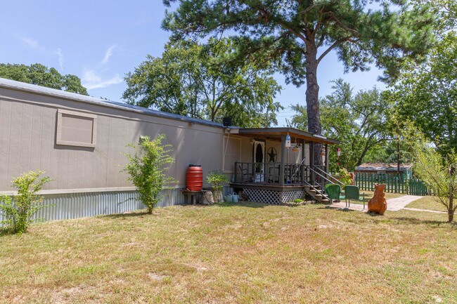
20320 State Highway 19
R000005211
ACRES: 0.630 ABST: 649 SUR: E PORTER
Commercialnec
VAN ZANDT
B and X Area of moderate flood hazard, usually the area between the limits of the 100-year and 500-year floods.
Texas
2024
0.63 AC
2025
Texas East Area
950602
Other Market Areas
3,290 SF
NEARBY LISTINGS FOR SALE OR LEASE
-
-
View all Canton listings for sale on LoopNet.com
DEMOGRAPHICS near 20320 State Highway 19
1 mile
3 mile
5 mile
2024 Total Population
353
2,367
9,874
2029 Population
400
2,698
11,247
Pop Growth 2024-2029
+ 13.31%
+ 13.98%
+ 13.91%
Average Age
45
44
42
2024 Total Households
134
887
3,773
HH Growth 2024-2029
+ 13.43%
+ 13.87%
+ 13.89%
Median Household Inc
$92,708
$76,207
$67,982
Avg Household Size
2.60
2.60
2.50
2024 Avg HH Vehicles
3.00
2.00
2.00
Median Home Value
$255,208
$234,401
$193,521
Median Year Built
2001
2000
1988
Nearby Places
Map Layers
Map Styles
 Street
 Aerial
Transit
 Traffic
 Biking
Places
Listings with unknown addresses are not visible on the map
- Restaurants
- Banks
- Shops
- Fitness
- Groceries
PUBLIC TRANSPORTATION
AIRPORT
Tyler Pounds Regional
Drive
Walk
Distance
Tyler Pounds Regional
50 min
41.4 mi
Freight Ports
Port of Shreveport
Drive
Walk
Distance
Port of Shreveport
157 min
143.5 mi
SALE & LEASE HISTORY
LISTING DATE
SALE/LEASE

Sep 23, 2019
For Sale
Nearby Properties
Address
Land Use
TOTAL SIZE
Lot Size
Zoning
Address
Land Use
TOTAL SIZE
Lot Size
Zoning
832.20 AC
Address
Land Use
TOTAL SIZE
Lot Size
Zoning
2,368 SF
378.96 AC
Address
Land Use
TOTAL SIZE
Lot Size
Zoning
47,698 SF
4.86 AC
Address
Land Use
TOTAL SIZE
Lot Size
Zoning
304.49 AC
Address
Land Use
TOTAL SIZE
Lot Size
Zoning
16,652 SF
4.40 AC
Address
Land Use
TOTAL SIZE
Lot Size
Zoning
12,796 SF
5.99 AC
Address
Land Use
TOTAL SIZE
Lot Size
Zoning
16,868 SF
2 AC
Address
Land Use
TOTAL SIZE
Lot Size
Zoning
319.24 AC
Address
Land Use
TOTAL SIZE
Lot Size
Zoning
253.74 AC
Address
Land Use
TOTAL SIZE
Lot Size
Zoning
2,070 SF
201.67 AC
Address
Land Use
TOTAL SIZE
Lot Size
Zoning
191.04 AC
Address
Land Use
TOTAL SIZE
Lot Size
Zoning
10,826 SF
2 AC
Address
Land Use
TOTAL SIZE
Lot Size
Zoning
176.15 AC
Address
Land Use
TOTAL SIZE
Lot Size
Zoning
172.10 AC
Address
Land Use
TOTAL SIZE
Lot Size
Zoning
152.90 AC
Address
Land Use
TOTAL SIZE
Lot Size
Zoning
146.11 AC
Address
Land Use
TOTAL SIZE
Lot Size
Zoning
Address
Land Use
TOTAL SIZE
Lot Size
Zoning
109.99 AC
Address
Land Use
TOTAL SIZE
Lot Size
Zoning
1,360 SF
123.50 AC
Address
Land Use
TOTAL SIZE
Lot Size
Zoning
169.98 AC
Address
Land Use
TOTAL SIZE
Lot Size
Zoning
105.10 AC
Address
Land Use
TOTAL SIZE
Lot Size
Zoning
100.13 AC
Address
Land Use
TOTAL SIZE
Lot Size
Zoning
113.74 AC
Address
Land Use
TOTAL SIZE
Lot Size
Zoning
Address
Land Use
TOTAL SIZE
Lot Size
Zoning
93.91 AC
Address
Land Use
TOTAL SIZE
Lot Size
Zoning
17,826 SF
1.29 AC
Address
Land Use
TOTAL SIZE
Lot Size
Zoning
Address
Land Use
TOTAL SIZE
Lot Size
Zoning
86.72 AC
Address
Land Use
TOTAL SIZE
Lot Size
Zoning
82.95 AC
The World's #1 Commercial Real Estate Marketplace
Connect with us
© 2026 CoStar Group
The information above has been obtained from sources believed reliable. While we do not doubt its accuracy we have not verified it and make no guarantee, warranty or representation about it. It is your responsibility to independently confirm its accuracy and completeness. Any projections, opinions, assumptions, or estimates used are for example only and do not represent the current or future performance of the property. The value of this transaction to you depends on tax and other factors which should be evaluated by your tax, financial, and legal advisors. You and your advisors should conduct a careful, independent investigation of the property to determine to your satisfaction the suitability of the property for your needs.