Property Record
2034 E Whitehill Rd, Prince George, VA 23875


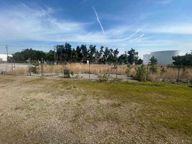
This Property Is For Sale
Property Detail
2034 E Whitehill Rd
22B(03)00-009-0
LT:9 BK: SEC:2; SUB:EAST WHITEHILL INDUS PARK; ACRES:1.5526
Officebuilding
Prince George
M-2
Virginia
C and X Area of minimal flood hazard, usually depicted on FIRMs as above the 500-year flood level.
9
2025
1.55 AC
2025
Prince George
850100
Richmond VA
3,596 SF
Richmond, VA
NEARBY LISTINGS FOR SALE OR LEASE
DEMOGRAPHICS near 2034 E Whitehill Rd
1 mile
3 mile
5 mile
2025 Total Population
6,797
43,587
104,416
2030 Population
6,949
44,736
106,669
Pop Growth 2025-2030
+ 2.24%
+ 2.64%
+ 2.16%
Average Age
28
37
39
2025 Total Households
941
16,246
38,451
HH Growth 2025-2030
+ 3.83%
+ 2.79%
+ 2.27%
Median Household Inc
$23,626
$60,292
$60,245
Avg Household Size
2.60
2.30
2.30
2025 Avg HH Vehicles
1.00
2.00
2.00
Median Home Value
$203,879
$231,344
$221,558
Median Year Built
1978
1972
1973
Nearby Places
Map Layers
Map Styles
 Street
 Aerial
Layers
 Traffic
 Biking
Places
Listings with unknown addresses are not visible on the map
- Restaurants
- Banks
- Shops
- Fitness
- Groceries
PUBLIC TRANSPORTATION
COMMUTER RAIL
Drive
Walk
Distance
9 min
4.8 mi
AIRPORT
Richmond International
Drive
Walk
Distance
Richmond International
37 min
27.0 mi
Nearby Properties
Address
Land Use
TOTAL SIZE
Lot Size
Zoning
Address
Land Use
TOTAL SIZE
Lot Size
Zoning
500 SF
390.12 AC
R7 - SINGL
Address
Land Use
TOTAL SIZE
Lot Size
Zoning
28.17 AC
PUD
Address
Land Use
TOTAL SIZE
Lot Size
Zoning
7,099 SF
13.51 AC
R-3
Address
Land Use
TOTAL SIZE
Lot Size
Zoning
498.93 AC
A-1
Address
Land Use
TOTAL SIZE
Lot Size
Zoning
209,515 SF
21.20 AC
B3
Address
Land Use
TOTAL SIZE
Lot Size
Zoning
188,368 SF
18.96 AC
B1
Address
Land Use
TOTAL SIZE
Lot Size
Zoning
119,151 SF
3.10 AC
M-1
Address
Land Use
TOTAL SIZE
Lot Size
Zoning
130,698 SF
10.78 AC
PUD
Address
Land Use
TOTAL SIZE
Lot Size
Zoning
223,211 SF
19.99 AC
B3
Address
Land Use
TOTAL SIZE
Lot Size
Zoning
57,011 SF
4.45 AC
BB
Address
Land Use
TOTAL SIZE
Lot Size
Zoning
89,138 SF
6.45 AC
PUD
Address
Land Use
TOTAL SIZE
Lot Size
Zoning
407,650 SF
136.67 AC
M-2
Address
Land Use
TOTAL SIZE
Lot Size
Zoning
16 AC
R3
Address
Land Use
TOTAL SIZE
Lot Size
Zoning
129,600 SF
12.21 AC
PUD
Address
Land Use
TOTAL SIZE
Lot Size
Zoning
56,701 SF
7.53 AC
R4
Address
Land Use
TOTAL SIZE
Lot Size
Zoning
71,298 SF
19.06 AC
B-1
Address
Land Use
TOTAL SIZE
Lot Size
Zoning
128,848 SF
13.24 AC
B3
Address
Land Use
TOTAL SIZE
Lot Size
Zoning
92,701 SF
2.87 AC
B1
Address
Land Use
TOTAL SIZE
Lot Size
Zoning
89,734 SF
2.85 AC
B1
Address
Land Use
TOTAL SIZE
Lot Size
Zoning
86,387 SF
10.91 AC
B3
Address
Land Use
TOTAL SIZE
Lot Size
Zoning
275,564 SF
14.29 AC
B-1
Address
Land Use
TOTAL SIZE
Lot Size
Zoning
67,161 SF
3.06 AC
B3
Address
Land Use
TOTAL SIZE
Lot Size
Zoning
3,632 SF
11.30 AC
M-2
Address
Land Use
TOTAL SIZE
Lot Size
Zoning
37,809 SF
150 AC
R7 - SINGL
Address
Land Use
TOTAL SIZE
Lot Size
Zoning
68,438 SF
1.93 AC
Address
Land Use
TOTAL SIZE
Lot Size
Zoning
40,792 SF
29.20 AC
B-1
Address
Land Use
TOTAL SIZE
Lot Size
Zoning
140,340 SF
13.08 AC
B3
Address
Land Use
TOTAL SIZE
Lot Size
Zoning
182,760 SF
10.50 AC
R-4
Address
Land Use
TOTAL SIZE
Lot Size
Zoning
97,419 SF
20 AC
R1
Address
Land Use
TOTAL SIZE
Lot Size
Zoning
72,250 SF
9.41 AC
PUD
The World's #1 Commercial Real Estate Marketplace
Connect with us
© 2026 CoStar Group
The information above has been obtained from sources believed reliable. While we do not doubt its accuracy we have not verified it and make no guarantee, warranty or representation about it. It is your responsibility to independently confirm its accuracy and completeness. Any projections, opinions, assumptions, or estimates used are for example only and do not represent the current or future performance of the property. The value of this transaction to you depends on tax and other factors which should be evaluated by your tax, financial, and legal advisors. You and your advisors should conduct a careful, independent investigation of the property to determine to your satisfaction the suitability of the property for your needs.