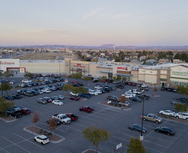
Property Record
2036 N Zaragoza Rd, El Paso, TX 79938


NEARBY LISTINGS FOR SALE OR LEASE
Property Detail
2036 N Zaragoza Rd
El Paso
A Montwood Subdivision
El Paso, TX
BLK 1 MONTWOOD SUBDIVISION REPLAT A 4 (EXC NLY PT) (11.0404 AC)
M770-999-0010-0400
El Paso
Commercialnec
Texas
2024
4
2025
11.04 AC
010366
East
119,175 SF
DEMOGRAPHICS near 2036 N Zaragoza Rd
1 Mile
3 Mile
5 Mile
2024 Total Population
14,115
138,221
256,945
2029 Population
14,133
138,801
260,034
Pop Growth 2024-2029
+ 0.13%
+ 0.42%
+ 1.20%
Average Age
35
35
35
2024 Total Households
4,448
44,496
84,158
HH Growth 2024-2029
+ 0.11%
+ 0.43%
+ 1.18%
Median Household Inc
$62,046
$62,895
$60,857
Avg Household Size
3.20
3.10
3.00
2024 Avg HH Vehicles
2.00
2.00
2.00
Median Home Value
$166,832
$165,180
$164,100
Median Year Built
1999
1999
1998
Nearby Places
Map Layers
Map Styles
 Street
 Aerial
- Restaurants
- Banks
- Shops
- Fitness
- Groceries
PUBLIC TRANSPORTATION
AIRPORT
El Paso International
DRIVE
WALK
Distance
El Paso International
23 min
12.7 mi
Freight Ports
Port of Corpus Christi
DRIVE
WALK
Distance
Port of Corpus Christi
671 min
685.6 mi
SALE & LEASE HISTORY
LISTING DATE
SALE/LEASE

May 22, 2017
For Lease
Nearby Properties
Address
Land Use
TOTAL SIZE
Lot Size
Zoning
Address
Land Use
TOTAL SIZE
Lot Size
Zoning
440,943 SF
41.37 AC
C4
Address
Land Use
TOTAL SIZE
Lot Size
Zoning
417,251 SF
22.96 AC
A2
Address
Land Use
TOTAL SIZE
Lot Size
Zoning
349,689 SF
70 AC
R5
Address
Land Use
TOTAL SIZE
Lot Size
Zoning
555,120 SF
36.68 AC
Address
Land Use
TOTAL SIZE
Lot Size
Zoning
306,059 SF
15.01 AC
C3
Address
Land Use
TOTAL SIZE
Lot Size
Zoning
300,851 SF
31.50 AC
SP
Address
Land Use
TOTAL SIZE
Lot Size
Zoning
260,501 SF
14.05 AC
A2
Address
Land Use
TOTAL SIZE
Lot Size
Zoning
195,977 SF
9.77 AC
C4
Address
Land Use
TOTAL SIZE
Lot Size
Zoning
205,189 SF
22.92 AC
C4
Address
Land Use
TOTAL SIZE
Lot Size
Zoning
192,676 SF
20.58 AC
C4C
Address
Land Use
TOTAL SIZE
Lot Size
Zoning
214,837 SF
9.44 AC
AO
Address
Land Use
TOTAL SIZE
Lot Size
Zoning
80,049 SF
8.90 AC
C4
Address
Land Use
TOTAL SIZE
Lot Size
Zoning
235,670 SF
10 AC
A3C
Address
Land Use
TOTAL SIZE
Lot Size
Zoning
172,368 SF
10 AC
NZ
Address
Land Use
TOTAL SIZE
Lot Size
Zoning
202,253 SF
10.70 AC
A2
Address
Land Use
TOTAL SIZE
Lot Size
Zoning
307,300 SF
17.47 AC
Address
Land Use
TOTAL SIZE
Lot Size
Zoning
230,152 SF
14.09 AC
C4S
Address
Land Use
TOTAL SIZE
Lot Size
Zoning
192,261 SF
8.07 AC
A3C
Address
Land Use
TOTAL SIZE
Lot Size
Zoning
106,261 SF
3 AC
R3
Address
Land Use
TOTAL SIZE
Lot Size
Zoning
269,370 SF
17.88 AC
Address
Land Use
TOTAL SIZE
Lot Size
Zoning
193,556 SF
5.28 AC
C3
Address
Land Use
TOTAL SIZE
Lot Size
Zoning
154,016 SF
8.05 AC
A2
Address
Land Use
TOTAL SIZE
Lot Size
Zoning
140,126 SF
13.98 AC
C4
Address
Land Use
TOTAL SIZE
Lot Size
Zoning
174,863 SF
15.28 AC
C4
Address
Land Use
TOTAL SIZE
Lot Size
Zoning
173,471 SF
13.29 AC
C4
Address
Land Use
TOTAL SIZE
Lot Size
Zoning
377,504 SF
24.32 AC
C4S
Address
Land Use
TOTAL SIZE
Lot Size
Zoning
43,611 SF
10 AC
C3S
Address
Land Use
TOTAL SIZE
Lot Size
Zoning
170,528 SF
9.05 AC
C3S
Address
Land Use
TOTAL SIZE
Lot Size
Zoning
197,105 SF
15.41 AC
C4S
The World's #1 Commercial Real Estate Marketplace
Connect with us
© 2026 CoStar Group
The information above has been obtained from sources believed reliable. While we do not doubt its accuracy we have not verified it and make no guarantee, warranty or representation about it. It is your responsibility to independently confirm its accuracy and completeness. Any projections, opinions, assumptions, or estimates used are for example only and do not represent the current or future performance of the property. The value of this transaction to you depends on tax and other factors which should be evaluated by your tax, financial, and legal advisors. You and your advisors should conduct a careful, independent investigation of the property to determine to your satisfaction the suitability of the property for your needs.