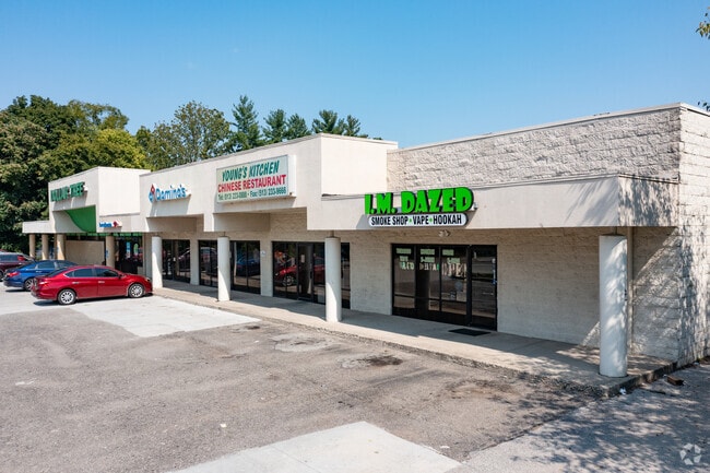
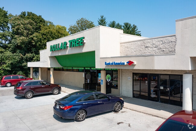
Property Record
2038 Beechmont Ave, Cincinnati, OH 45230

NEARBY LISTINGS FOR SALE OR LEASE
Property Detail
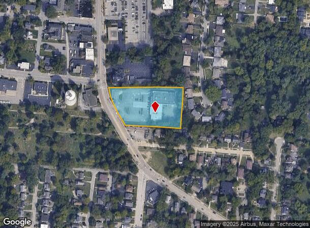
2038 Beechmont Ave
Cincinnati, OH-KY-IN
Corblys Est
001-0003-0084
2038 BEECHMONT AVE FT IRR PT LOT 4 S D CORBLYS EST
Regionalshoppingcenterormallwithanchorstore
Hamilton
X
Ohio
21037C0035E
4
2024
2.14 AC
2024
Eastgate/Anderson Twp
004602
Cincinnati/Dayton
16,081 SF
DEMOGRAPHICS near 2038 Beechmont Ave
1 Mile
3 Mile
5 Mile
2024 Total Population
11,131
43,921
146,142
2029 Population
10,959
43,134
145,389
Pop Growth 2024-2029
(1.55%)
(1.79%)
(0.52%)
Average Age
41
41
40
2024 Total Households
5,279
17,836
63,269
HH Growth 2024-2029
(1.63%)
(1.82%)
(0.52%)
Median Household Inc
$70,019
$92,816
$85,821
Avg Household Size
2.10
2.40
2.20
2024 Avg HH Vehicles
2.00
2.00
2.00
Median Home Value
$197,693
$278,568
$277,305
Median Year Built
1966
1971
1963
Nearby Places
Map Layers
Map Styles
 Street
 Aerial
- Restaurants
- Banks
- Shops
- Fitness
- Groceries
PUBLIC TRANSPORTATION
AIRPORT
Cincinnati/Northern Kentucky International
DRIVE
WALK
Distance
Cincinnati/Northern Kentucky International
37 min
20.3 mi
SALE & LEASE HISTORY
LISTING DATE
SALE/LEASE

Sep 24, 2016
For Sale
Mar 09, 2017
For Sale
Feb 07, 2018
For Lease
Nearby Properties
Address
Land Use
TOTAL SIZE
Lot Size
Zoning
Address
Land Use
TOTAL SIZE
Lot Size
Zoning
26.42 AC
Address
Land Use
TOTAL SIZE
Lot Size
Zoning
21,600 SF
98.32 AC
Address
Land Use
TOTAL SIZE
Lot Size
Zoning
12.46 AC
Address
Land Use
TOTAL SIZE
Lot Size
Zoning
25.31 AC
Address
Land Use
TOTAL SIZE
Lot Size
Zoning
25.27 AC
Address
Land Use
TOTAL SIZE
Lot Size
Zoning
11.96 AC
Address
Land Use
TOTAL SIZE
Lot Size
Zoning
259.50 AC
RFR
Address
Land Use
TOTAL SIZE
Lot Size
Zoning
5.09 AC
Address
Land Use
TOTAL SIZE
Lot Size
Zoning
12,505 SF
37.33 AC
SF6
Address
Land Use
TOTAL SIZE
Lot Size
Zoning
20.38 AC
Address
Land Use
TOTAL SIZE
Lot Size
Zoning
1,680 SF
13.55 AC
Address
Land Use
TOTAL SIZE
Lot Size
Zoning
Address
Land Use
TOTAL SIZE
Lot Size
Zoning
8.99 AC
Address
Land Use
TOTAL SIZE
Lot Size
Zoning
8.98 AC
SF6
Address
Land Use
TOTAL SIZE
Lot Size
Zoning
19.33 AC
OG
Address
Land Use
TOTAL SIZE
Lot Size
Zoning
21.90 AC
SF6
Address
Land Use
TOTAL SIZE
Lot Size
Zoning
1,072,127 SF
229.73 AC
Address
Land Use
TOTAL SIZE
Lot Size
Zoning
14.12 AC
Address
Land Use
TOTAL SIZE
Lot Size
Zoning
Address
Land Use
TOTAL SIZE
Lot Size
Zoning
28.27 AC
Address
Land Use
TOTAL SIZE
Lot Size
Zoning
25.59 AC
Address
Land Use
TOTAL SIZE
Lot Size
Zoning
7.49 AC
Address
Land Use
TOTAL SIZE
Lot Size
Zoning
6.55 AC
Address
Land Use
TOTAL SIZE
Lot Size
Zoning
55,848 SF
12.51 AC
Address
Land Use
TOTAL SIZE
Lot Size
Zoning
50,212 SF
10.61 AC
Address
Land Use
TOTAL SIZE
Lot Size
Zoning
14.17 AC
Address
Land Use
TOTAL SIZE
Lot Size
Zoning
Address
Land Use
TOTAL SIZE
Lot Size
Zoning
Address
Land Use
TOTAL SIZE
Lot Size
Zoning
3,774 SF
21.32 AC
SF20
Address
Land Use
TOTAL SIZE
Lot Size
Zoning
1,628 SF
43.10 AC
SF6
The World's #1 Commercial Real Estate Marketplace
Connect with us
© 2025 CoStar Group
The information above has been obtained from sources believed reliable. While we do not doubt its accuracy we have not verified it and make no guarantee, warranty or representation about it. It is your responsibility to independently confirm its accuracy and completeness. Any projections, opinions, assumptions, or estimates used are for example only and do not represent the current or future performance of the property. The value of this transaction to you depends on tax and other factors which should be evaluated by your tax, financial, and legal advisors. You and your advisors should conduct a careful, independent investigation of the property to determine to your satisfaction the suitability of the property for your needs.