Property Record
2041 E Manse Rd, Pahrump, NV 89048
NEARBY LISTINGS FOR SALE OR LEASE
Property Detail
2041 E Manse Rd
44-511-37
T21S R53E S12 F#611969 P.1 .96AC
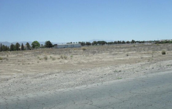
Commercialacreage
Nye
AO
Nevada
32023C8840G
0.96 AC
2024
Carson City/Nevada Area
2025
Other Market Areas
9604052032
Pahrump, NV
DEMOGRAPHICS near 2041 E Manse Rd
1 Mile
3 Mile
5 Mile
2024 Total Population
2,035
13,558
28,818
2029 Population
2,344
15,811
33,752
Pop Growth 2024-2029
+ 15.18%
+ 16.62%
+ 17.12%
Average Age
49
49
50
2024 Total Households
850
5,616
12,479
HH Growth 2024-2029
+ 15.18%
+ 16.70%
+ 17.23%
Median Household Inc
$49,582
$59,810
$60,803
Avg Household Size
2.30
2.40
2.30
2024 Avg HH Vehicles
2.00
2.00
2.00
Median Home Value
$267,318
$289,006
$292,290
Median Year Built
1994
1999
1999
Nearby Places
Map Layers
Map Styles
 Street
 Aerial
- Restaurants
- Banks
- Shops
- Fitness
- Groceries
SALE & LEASE HISTORY
LISTING DATE
SALE/LEASE

Jul 12, 2017
For Sale
Nearby Properties
Address
Land Use
TOTAL SIZE
Lot Size
Zoning
Address
Land Use
TOTAL SIZE
Lot Size
Zoning
16,945 SF
210.63 AC
Address
Land Use
TOTAL SIZE
Lot Size
Zoning
54,979 SF
11.54 AC
SP
Address
Land Use
TOTAL SIZE
Lot Size
Zoning
25,729 SF
32.26 AC
GC
Address
Land Use
TOTAL SIZE
Lot Size
Zoning
53,707 SF
4.55 AC
Address
Land Use
TOTAL SIZE
Lot Size
Zoning
0.46 AC
VR-8
Address
Land Use
TOTAL SIZE
Lot Size
Zoning
12,806 SF
5.39 AC
SP
Address
Land Use
TOTAL SIZE
Lot Size
Zoning
9,590 SF
4.87 AC
GC
Address
Land Use
TOTAL SIZE
Lot Size
Zoning
14,770 SF
1.10 AC
MU
Address
Land Use
TOTAL SIZE
Lot Size
Zoning
6,300 SF
10.99 AC
CF
Address
Land Use
TOTAL SIZE
Lot Size
Zoning
10 SF
1.08 AC
SP
Address
Land Use
TOTAL SIZE
Lot Size
Zoning
24.39 AC
VR-20
Address
Land Use
TOTAL SIZE
Lot Size
Zoning
31,890 SF
10.58 AC
VR-20
Address
Land Use
TOTAL SIZE
Lot Size
Zoning
31,860 SF
3.32 AC
Address
Land Use
TOTAL SIZE
Lot Size
Zoning
41,448 SF
4.25 AC
GC
Address
Land Use
TOTAL SIZE
Lot Size
Zoning
8,737 SF
1.10 AC
MU
Address
Land Use
TOTAL SIZE
Lot Size
Zoning
6,433 SF
2.66 AC
Address
Land Use
TOTAL SIZE
Lot Size
Zoning
8,737 SF
1.10 AC
MU
Address
Land Use
TOTAL SIZE
Lot Size
Zoning
8,400 SF
1.10 AC
NC
Address
Land Use
TOTAL SIZE
Lot Size
Zoning
17,600 SF
1.13 AC
NC
Address
Land Use
TOTAL SIZE
Lot Size
Zoning
10,455 SF
1.40 AC
NC
Address
Land Use
TOTAL SIZE
Lot Size
Zoning
5,415 SF
1.10 AC
NC
Address
Land Use
TOTAL SIZE
Lot Size
Zoning
10,000 SF
1.10 AC
MU
Address
Land Use
TOTAL SIZE
Lot Size
Zoning
17,791 SF
3.78 AC
LI
Address
Land Use
TOTAL SIZE
Lot Size
Zoning
15,400 SF
3.79 AC
NC
Address
Land Use
TOTAL SIZE
Lot Size
Zoning
5,415 SF
1.10 AC
NC
Address
Land Use
TOTAL SIZE
Lot Size
Zoning
2.69 AC
Address
Land Use
TOTAL SIZE
Lot Size
Zoning
4,636 SF
1.20 AC
NC
Address
Land Use
TOTAL SIZE
Lot Size
Zoning
7,000 SF
0.48 AC
GC
Address
Land Use
TOTAL SIZE
Lot Size
Zoning
8,375 SF
1.30 AC
BO
Address
Land Use
TOTAL SIZE
Lot Size
Zoning
450.44 AC
R
The World's #1 Commercial Real Estate Marketplace
Connect with us
© 2026 CoStar Group
The information above has been obtained from sources believed reliable. While we do not doubt its accuracy we have not verified it and make no guarantee, warranty or representation about it. It is your responsibility to independently confirm its accuracy and completeness. Any projections, opinions, assumptions, or estimates used are for example only and do not represent the current or future performance of the property. The value of this transaction to you depends on tax and other factors which should be evaluated by your tax, financial, and legal advisors. You and your advisors should conduct a careful, independent investigation of the property to determine to your satisfaction the suitability of the property for your needs.