Property Record
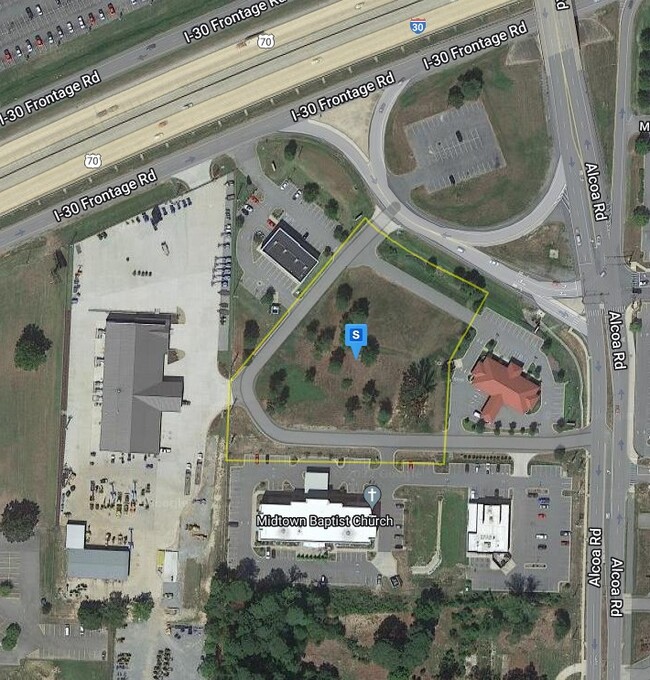
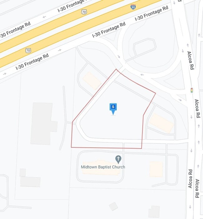
20461 Interstate 30 Rd S, Benton, AR 72015

Property Detail
20461 Interstate 30 Rd S
Little Rock-North Little Rock-Conway, AR
2024-013544
800-01800-002
SALINE
Commercialnec
Arkansas
B and X Area of moderate flood hazard, usually the area between the limits of the 100-year and 500-year floods.
2
2025
2.88 AC
2025
Saline County
010104
Little Rock/N Little Rock
9,748 SF
NEARBY LISTINGS FOR SALE OR LEASE
DEMOGRAPHICS near 20461 Interstate 30 Rd S
1 mile
3 mile
5 mile
2025 Total Population
4,973
36,854
70,134
2030 Population
5,109
38,519
73,761
Pop Growth 2025-2030
+ 2.73%
+ 4.52%
+ 5.17%
Average Age
39
39
39
2025 Total Households
2,177
14,727
27,522
HH Growth 2025-2030
+ 2.57%
+ 4.53%
+ 5.21%
Median Household Inc
$54,965
$74,493
$78,186
Avg Household Size
2.20
2.50
2.50
2025 Avg HH Vehicles
2.00
2.00
2.00
Median Home Value
$291,961
$255,111
$241,784
Median Year Built
2003
1997
1995
Nearby Places
Map Layers
Map Styles
 Street
 Aerial
Layers
 Traffic
 Biking
Places
Listings with unknown addresses are not visible on the map
- Restaurants
- Banks
- Shops
- Fitness
- Groceries
PUBLIC TRANSPORTATION
AIRPORT
Bill and Hillary Clinton Ntl/Adams Field
Drive
Walk
Distance
Bill and Hillary Clinton Ntl/Adams Field
26 min
21.2 mi
Nearby Properties
Address
Land Use
TOTAL SIZE
Lot Size
Zoning
Address
Land Use
TOTAL SIZE
Lot Size
Zoning
32,067 SF
26.67 AC
Address
Land Use
TOTAL SIZE
Lot Size
Zoning
80,480 SF
33.40 AC
Address
Land Use
TOTAL SIZE
Lot Size
Zoning
91,459 SF
6.03 AC
Address
Land Use
TOTAL SIZE
Lot Size
Zoning
28,150 SF
17.11 AC
Address
Land Use
TOTAL SIZE
Lot Size
Zoning
262,431 SF
23.01 AC
Address
Land Use
TOTAL SIZE
Lot Size
Zoning
175,840 SF
21.93 AC
Address
Land Use
TOTAL SIZE
Lot Size
Zoning
89,854 SF
37 AC
Address
Land Use
TOTAL SIZE
Lot Size
Zoning
121,010 SF
13.33 AC
Address
Land Use
TOTAL SIZE
Lot Size
Zoning
174,460 SF
19.30 AC
Address
Land Use
TOTAL SIZE
Lot Size
Zoning
22,000 SF
20.76 AC
Address
Land Use
TOTAL SIZE
Lot Size
Zoning
138,752 SF
12.60 AC
Address
Land Use
TOTAL SIZE
Lot Size
Zoning
106,096 SF
9.46 AC
Address
Land Use
TOTAL SIZE
Lot Size
Zoning
36,979 SF
7.85 AC
Address
Land Use
TOTAL SIZE
Lot Size
Zoning
139,990 SF
14.40 AC
Address
Land Use
TOTAL SIZE
Lot Size
Zoning
75,795 SF
9.39 AC
Address
Land Use
TOTAL SIZE
Lot Size
Zoning
128,225 SF
8.41 AC
Address
Land Use
TOTAL SIZE
Lot Size
Zoning
72,506 SF
4.44 AC
Address
Land Use
TOTAL SIZE
Lot Size
Zoning
19,208 SF
12 AC
Address
Land Use
TOTAL SIZE
Lot Size
Zoning
36,356 SF
5.45 AC
Address
Land Use
TOTAL SIZE
Lot Size
Zoning
90,200 SF
17.30 AC
Address
Land Use
TOTAL SIZE
Lot Size
Zoning
60,030 SF
6.51 AC
Address
Land Use
TOTAL SIZE
Lot Size
Zoning
43,055 SF
3.94 AC
Address
Land Use
TOTAL SIZE
Lot Size
Zoning
54,681 SF
1.88 AC
Address
Land Use
TOTAL SIZE
Lot Size
Zoning
44,776 SF
7 AC
Address
Land Use
TOTAL SIZE
Lot Size
Zoning
27,288 SF
4.02 AC
Address
Land Use
TOTAL SIZE
Lot Size
Zoning
63,870 SF
7.97 AC
Address
Land Use
TOTAL SIZE
Lot Size
Zoning
44,100 SF
3.52 AC
Address
Land Use
TOTAL SIZE
Lot Size
Zoning
12,354 SF
6.35 AC
Address
Land Use
TOTAL SIZE
Lot Size
Zoning
6,715 SF
2.95 AC
Address
Land Use
TOTAL SIZE
Lot Size
Zoning
18,720 SF
9.49 AC
The World's #1 Commercial Real Estate Marketplace
Connect with us
© 2026 CoStar Group
The information above has been obtained from sources believed reliable. While we do not doubt its accuracy we have not verified it and make no guarantee, warranty or representation about it. It is your responsibility to independently confirm its accuracy and completeness. Any projections, opinions, assumptions, or estimates used are for example only and do not represent the current or future performance of the property. The value of this transaction to you depends on tax and other factors which should be evaluated by your tax, financial, and legal advisors. You and your advisors should conduct a careful, independent investigation of the property to determine to your satisfaction the suitability of the property for your needs.